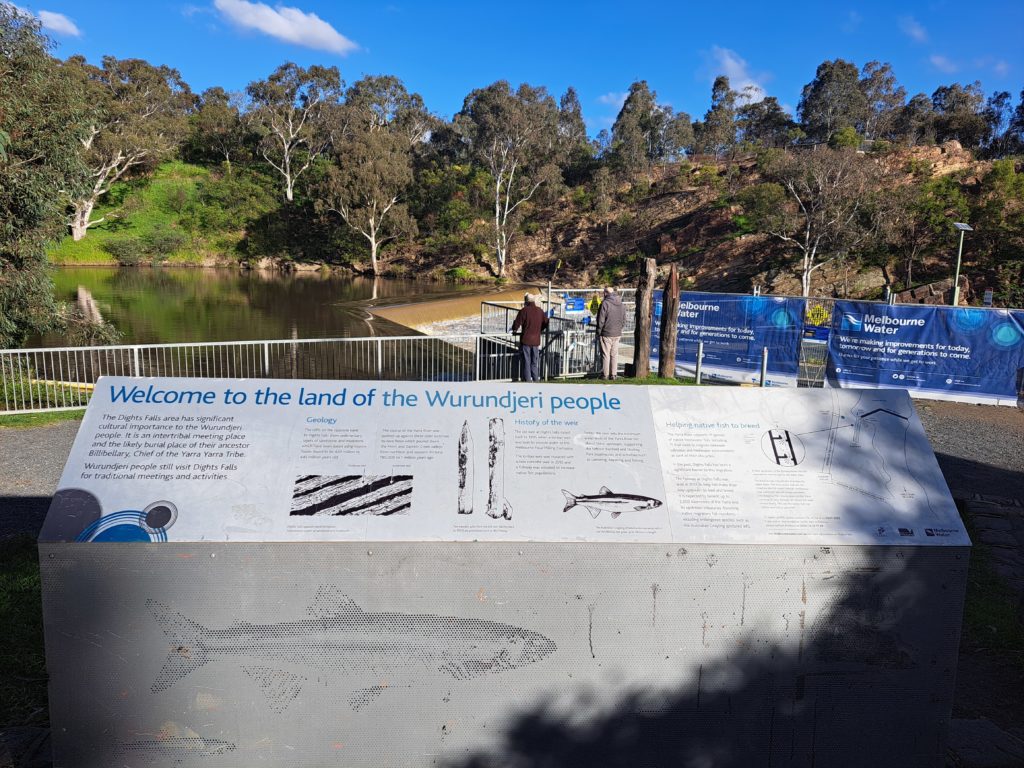
First, I would like to acknowledge both the Eastern Maar peoples and the Wadawurrung peoples of the Kulin Nations as the traditional owners of the Great Otway National Park. I want to pay my respects to the past, present and any Indigenous people among us today. I also want to acknowledge that I have profited and benefited from stolen land and that Indigenous people were never ceded sovereignty. Finally, I would like to acknowledge the Wurundjeri peoples of, Naarm, where I sit and write this blog and would like to acknowledge the traditional owners of the many lands my readers come from.
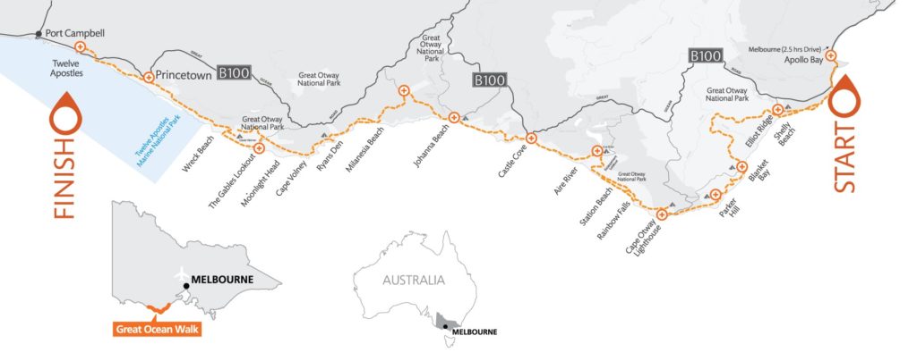
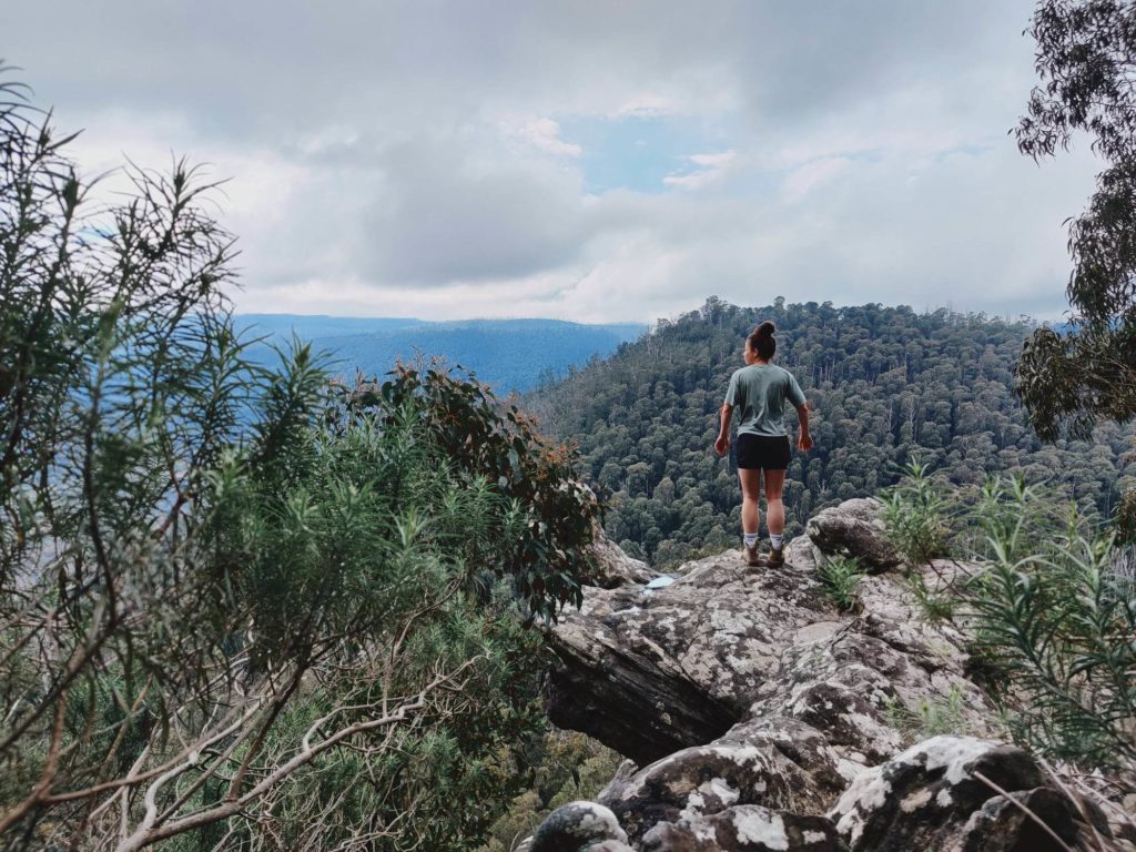
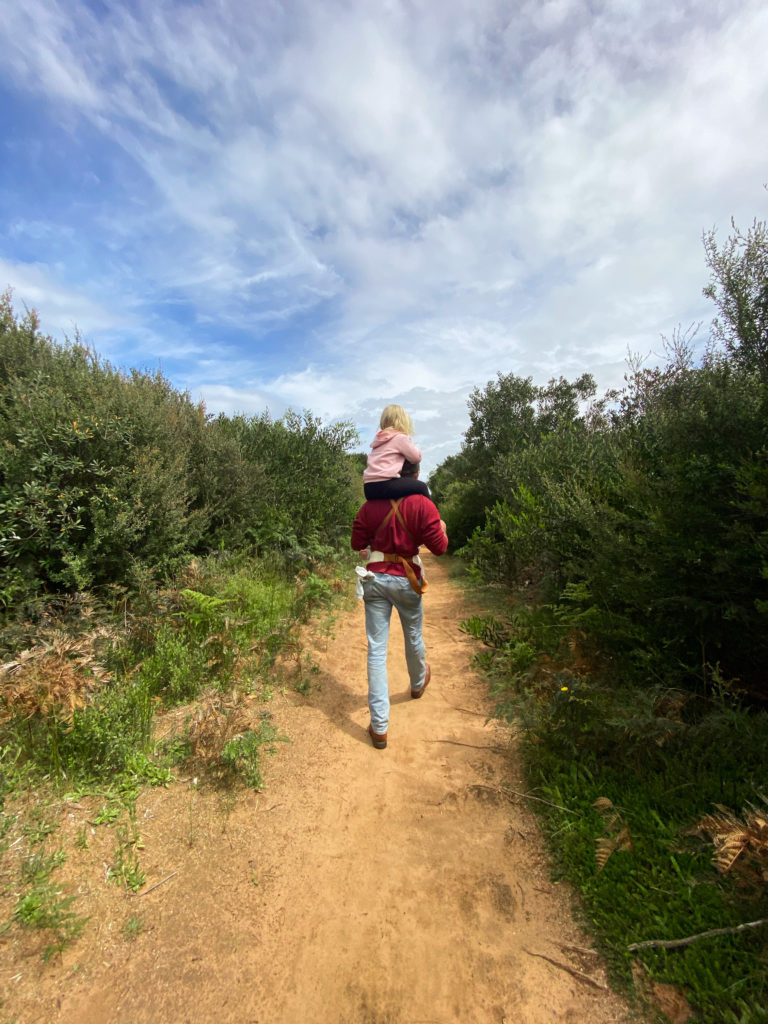
I have attempted the Great Ocean Walk (GOW) two times before. The first time I was unable to complete it due to inexperience and my best mate becoming injured. The second time was with a good mate of mine and we managed to complete it in its entirety. The GOW is 100km and travels through a variety of environments including, towns, farmland, beaches, estuaries and lush rainforest etc. We completed this trek in 5 days, it was a special experience. A unique element of this trail is that it can be completed as day trips if preferred. I have broken down this experience into 6 day walks but feel welcome to take on the challenge of the multi-day, even if you only do certain sections at a time. Be sure to prepare yourself well if you do plan to do this trek.
To begin there is some key things to be aware of:
- There is a strict leave no trace principle, carry out everything you bring in with you including all your rubbish.
- This is a one-way trail start from the east and travel to the west.
- Overnight campsites must be booked ahead of time through Parks Victoria.
- Be aware of tide times and weather as both of these can be volatile and effect making it to camp each night.
- If doing a multi-day trek complete a trip intention form, let police know where your vehicle is parked for the duration and let family/friends know your plans.
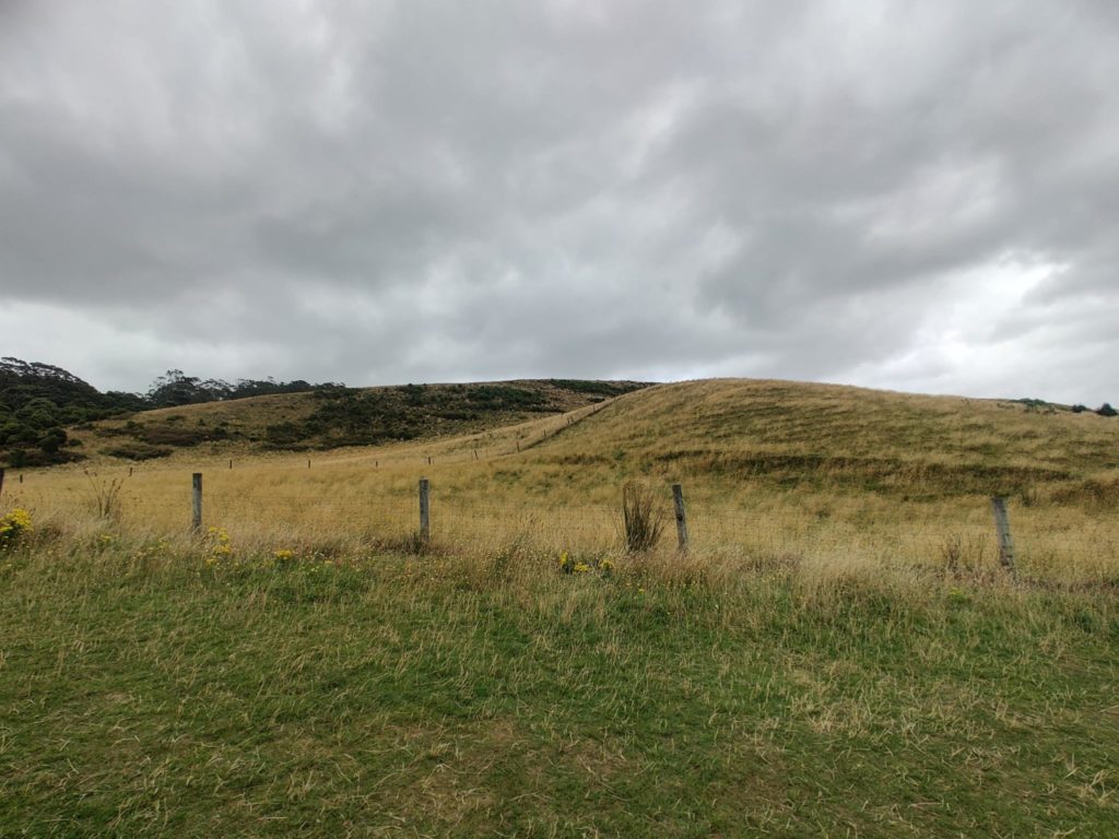
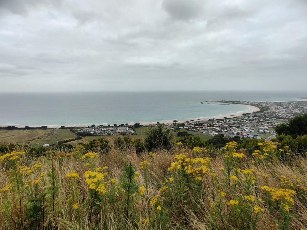
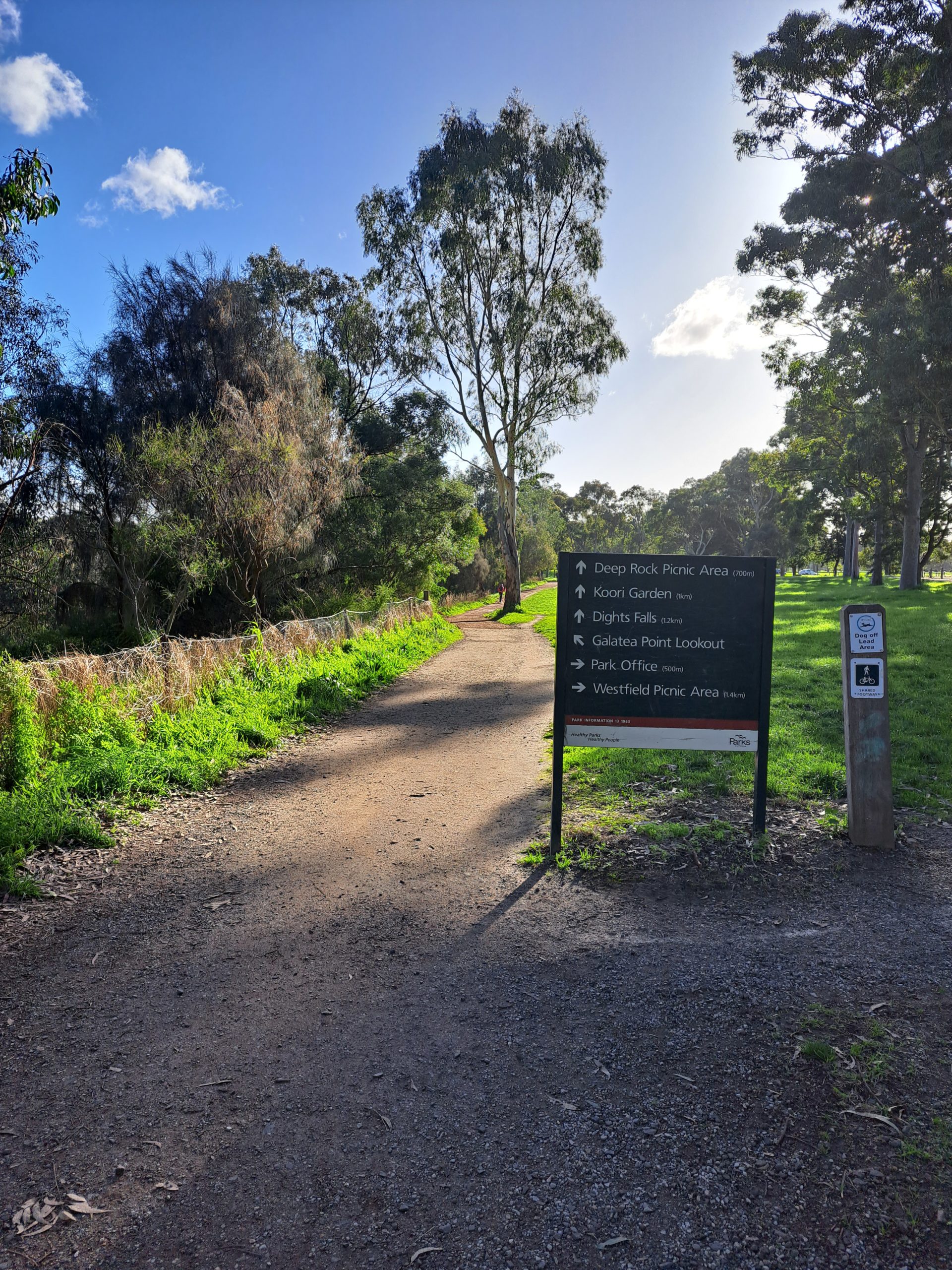
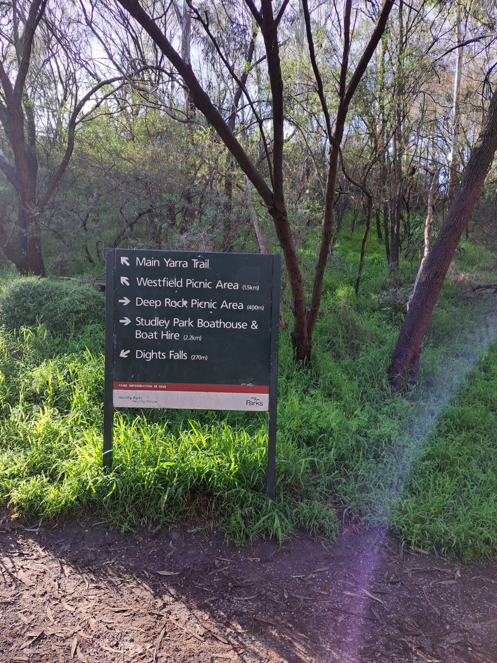
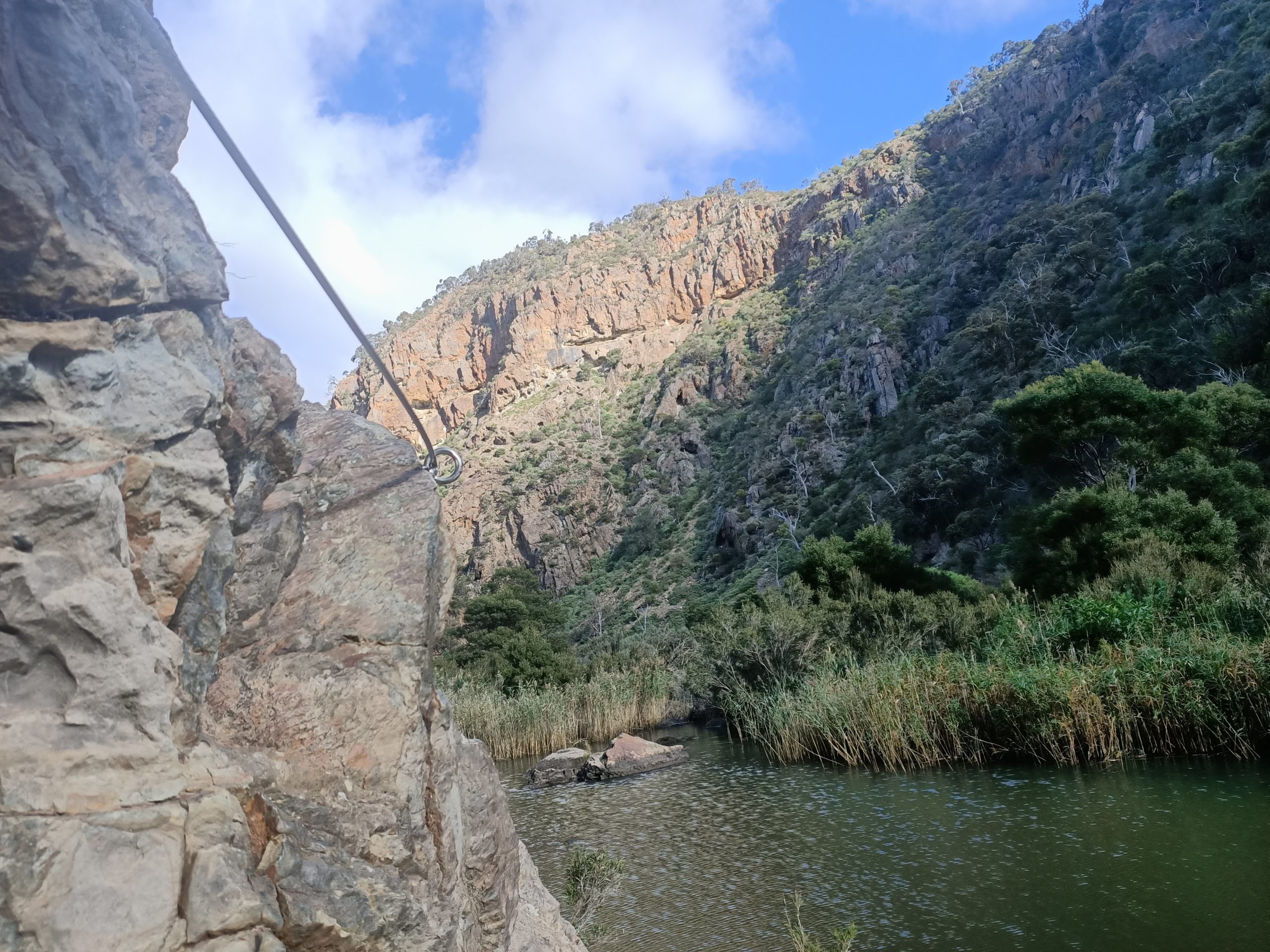
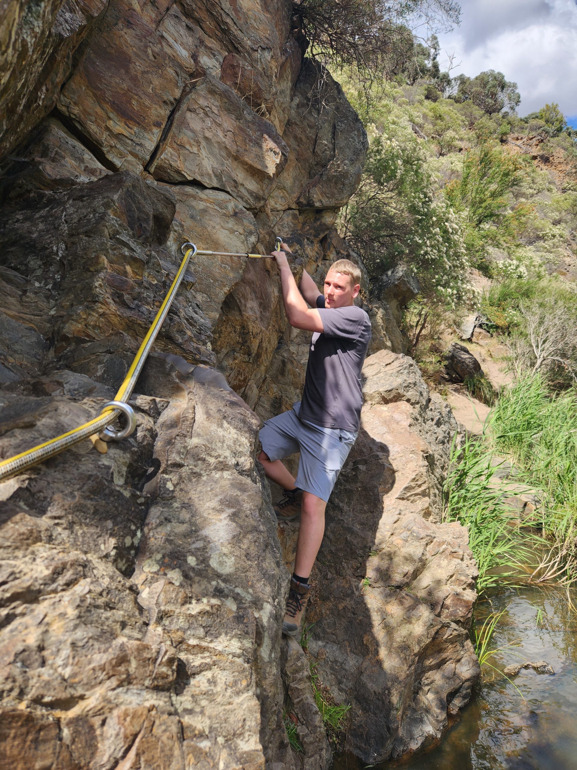
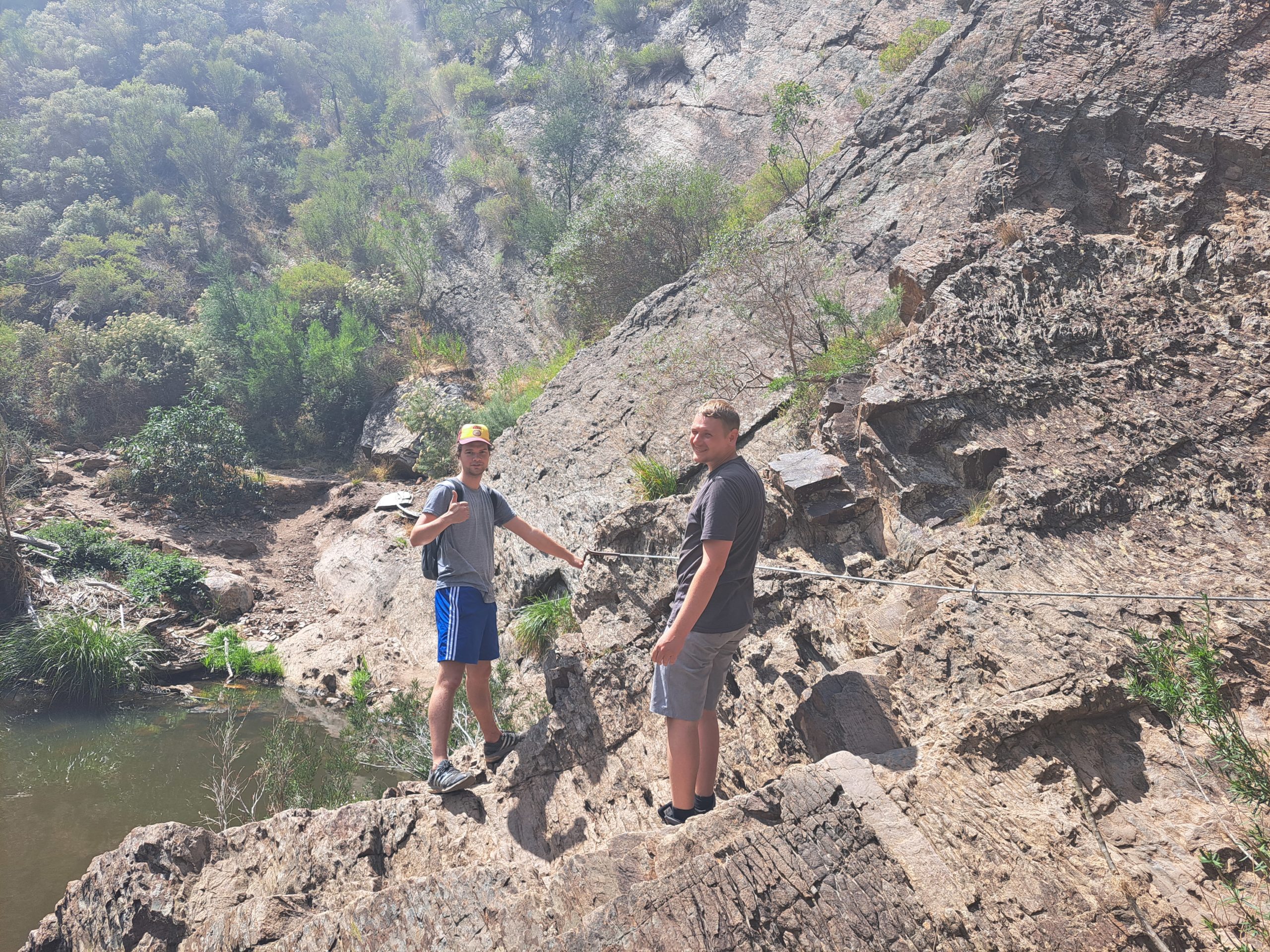
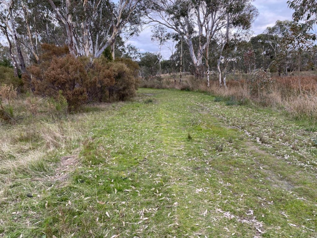
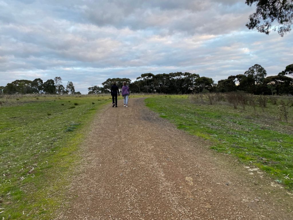
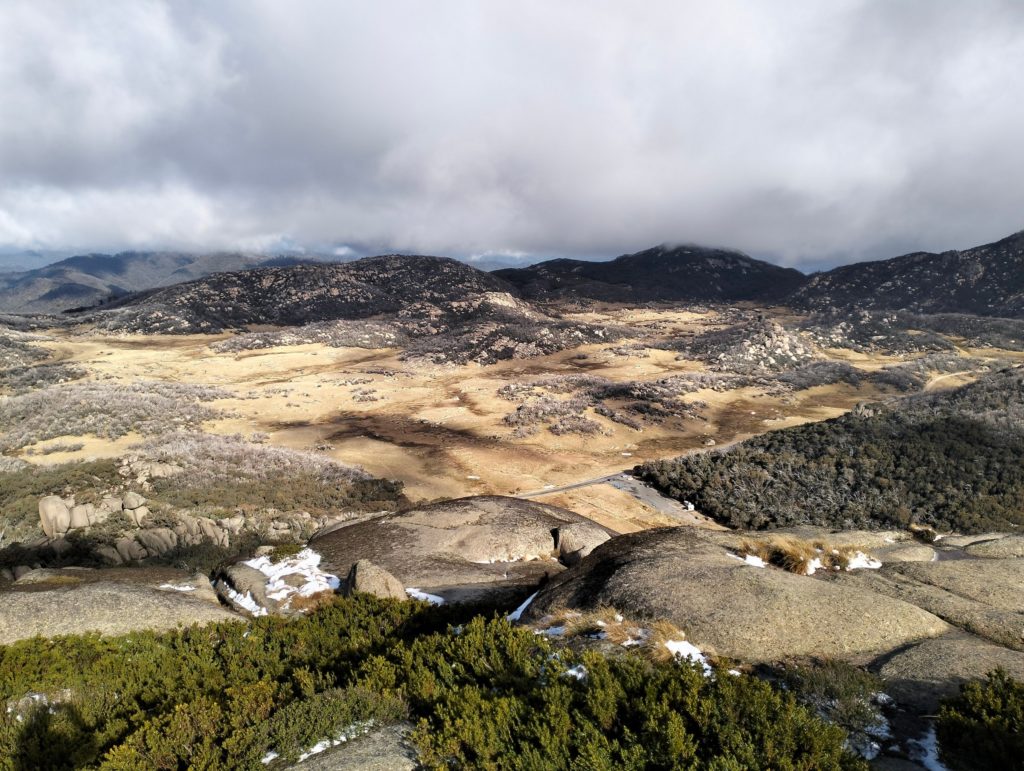
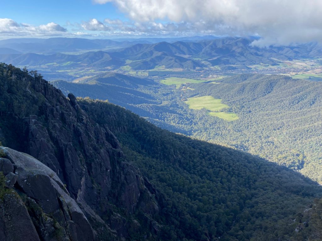
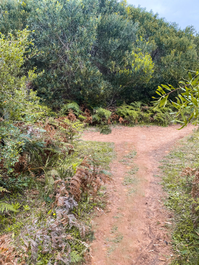
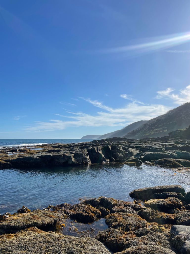
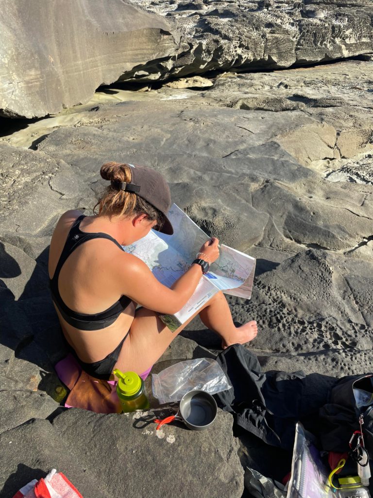
The first part of the walk we began at the Apollo Bay Visitor Information Centre, we walked passed the town and through the Marengo Family Caravan Park. This is where there are multiple decision points to scramble the coastal rocks or stay inland due to tide times (although there are a couple sections impassible at high tide). There are many signs along the way but I highly recommend taking the Great Ocean Walk map from the visitor information centre it clearly outlines the various trails and access points along the way. My friend and I chose to take the rock scrambling option due to it being low tide. This was fun and made it a more challenging experience balancing across crevice’s and hopping along the rocky formations. We trekked across Three Creeks Beach and onto Shelly Beach which were long stretches of sandy beaches (1.5km). We turned inland to the north west and trekked 800 metres with an elevation gain of 140m to Elliot Ridge Campground.
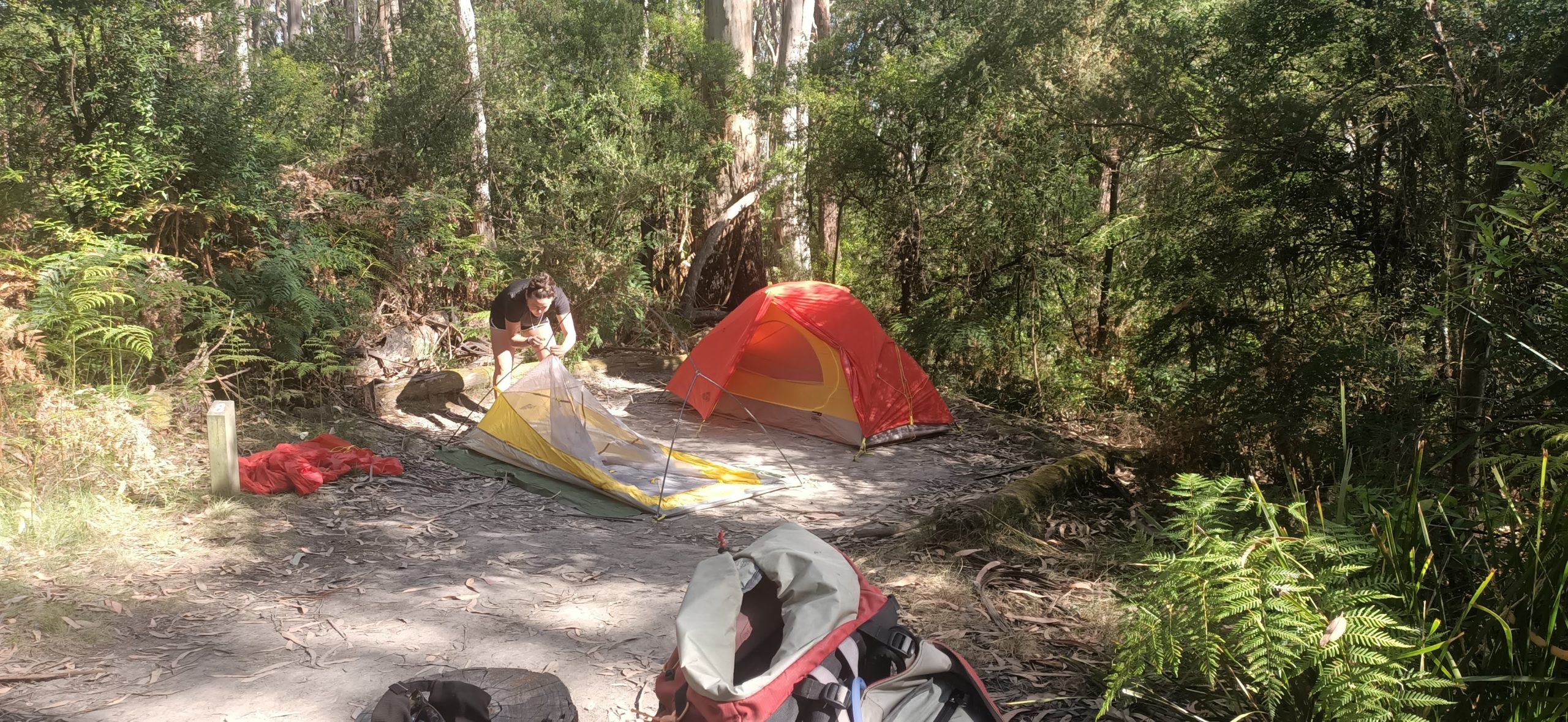
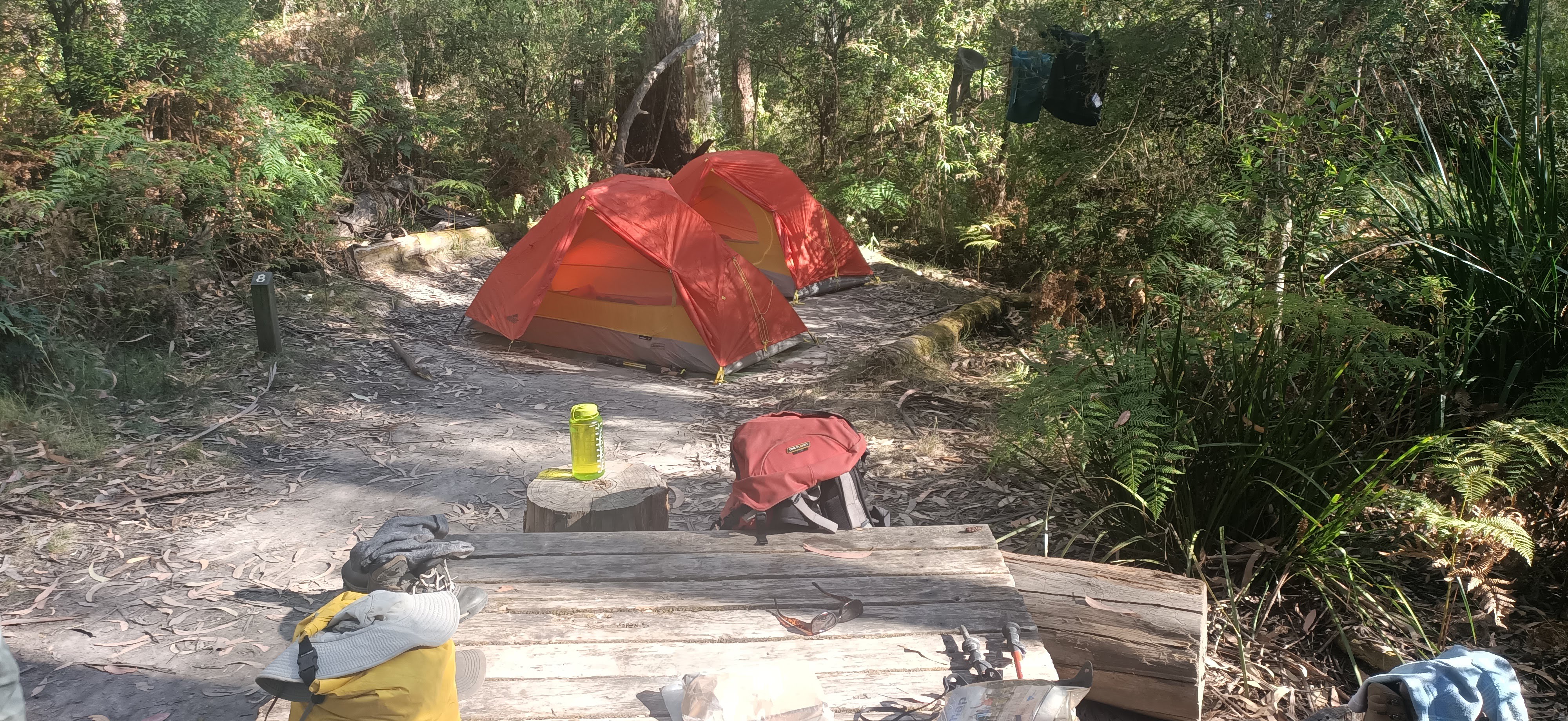
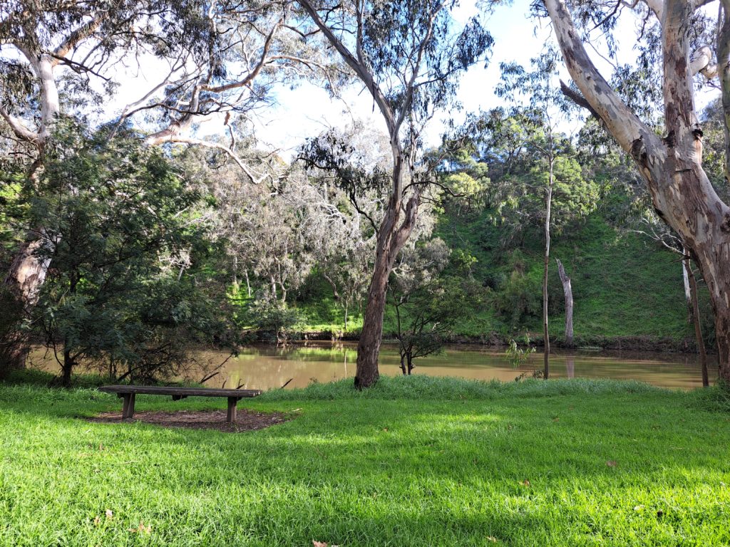
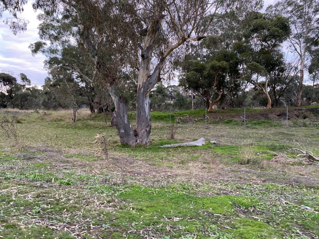
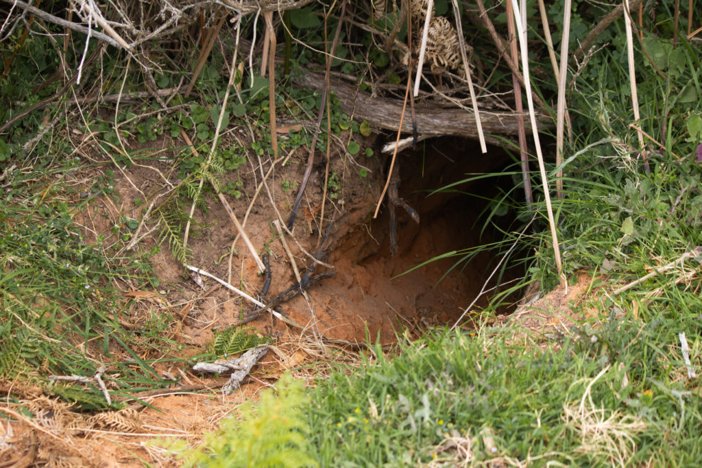
There are many little camp sites similar to this one dotted around Elliots Ridge most with a table. There is a communal shelter, rain water tank and toilet facilities here. If you were planning this section of the GOW as a day trip, I would avoid the campsite all together and once at Shelly Beach walk 1km north east towards Shelly Beach Picnic Area which has car access and toilets. If you were hoping to visit the campsite during the day walk there is another inland route that is a 4WD management track called Elliot Rd. This takes you to Shelly Beach Picnic Area adding 3.2km to the day walk making it 13.2kms in total.
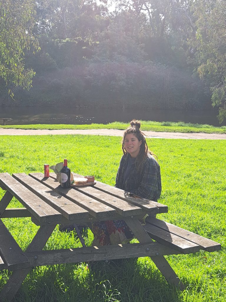
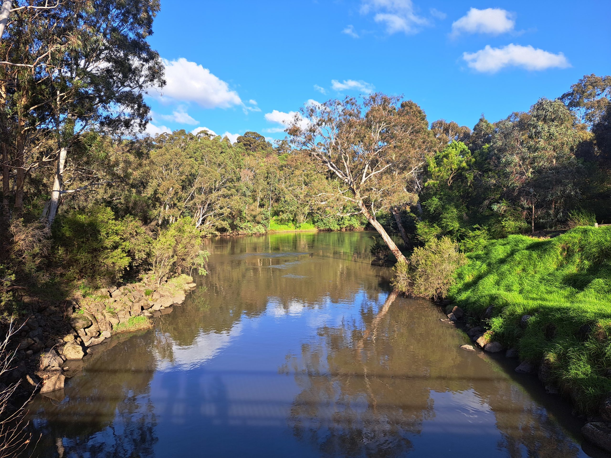
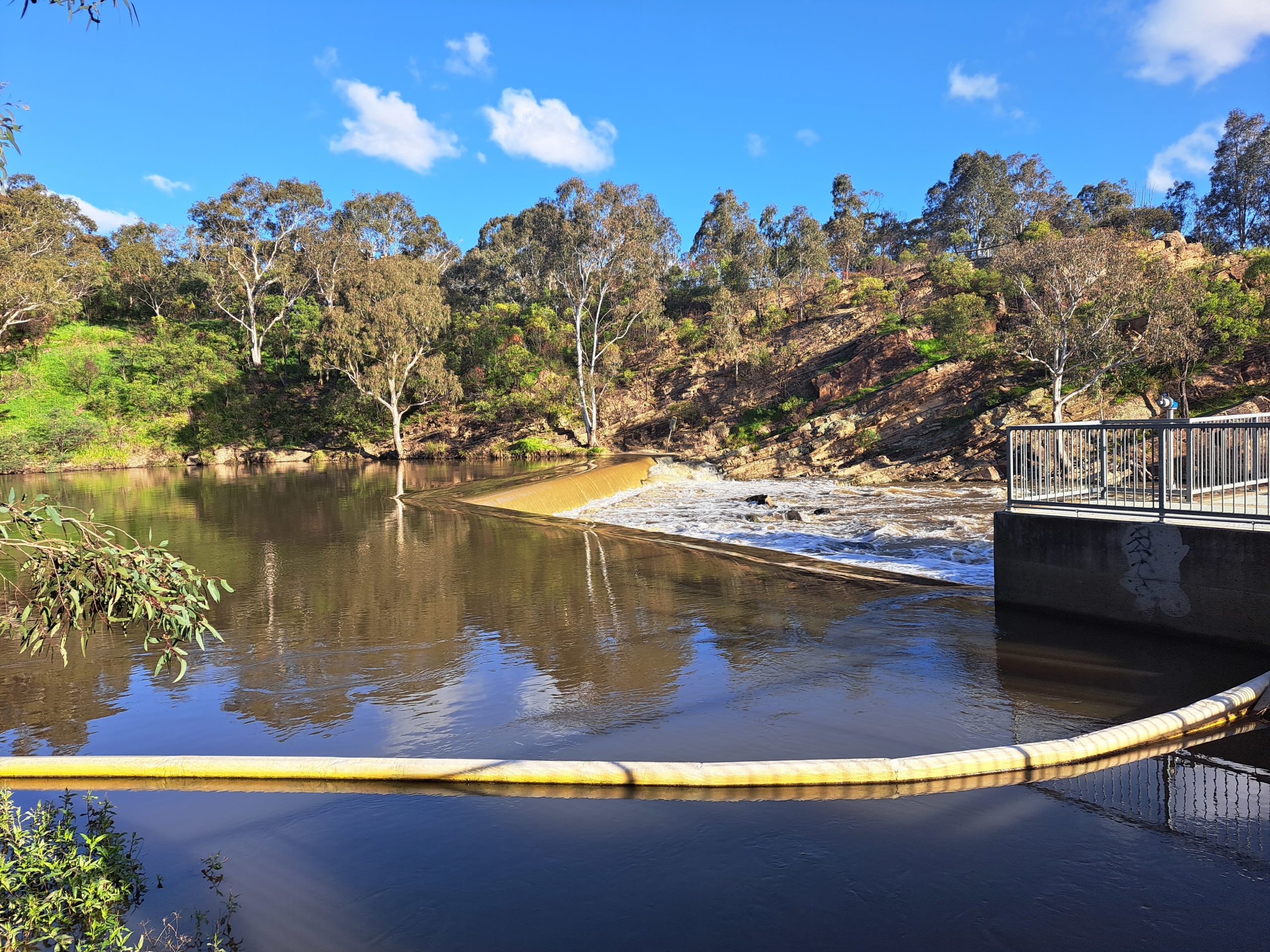
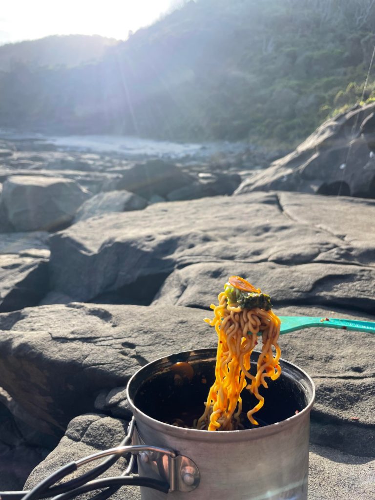
By the time we completed setting up camp it was too early for dinner. We gathered our cooking supplies and headed back down to Shelly Beach looking for a swim spot. We rock scrambled to the west and found a deep trough where there were safe entrances to allow for a float and splash after a dusty afternoon of hiking and setting up camp. It was the best part of the day watching the sunset and boiling our dinner on the rocks taking in the beauty surrounding us.
| Trail Name | Great Ocean Walk – Apollo Bay to Elliot Ridge Hike-In Campground |
| Distance | 10km |
| Estimated Time | 3.5hrs |
| Grade | 3 |
| Type | One Way – East to West |
| Park | Great Otway National Park |
| Access | Hike-in only (2WD access from Shelly Beach Picnic Area) |