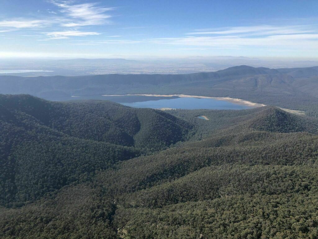
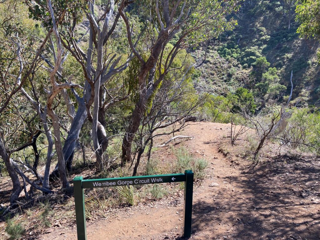
We did the Werribee Gorge Circuit on Sunday (March 2026). Actually we planned this walk some time ago but it was raining persistently on 4 weekends in a row. Finally the weather was fine.
Here’s the official description of the walk:
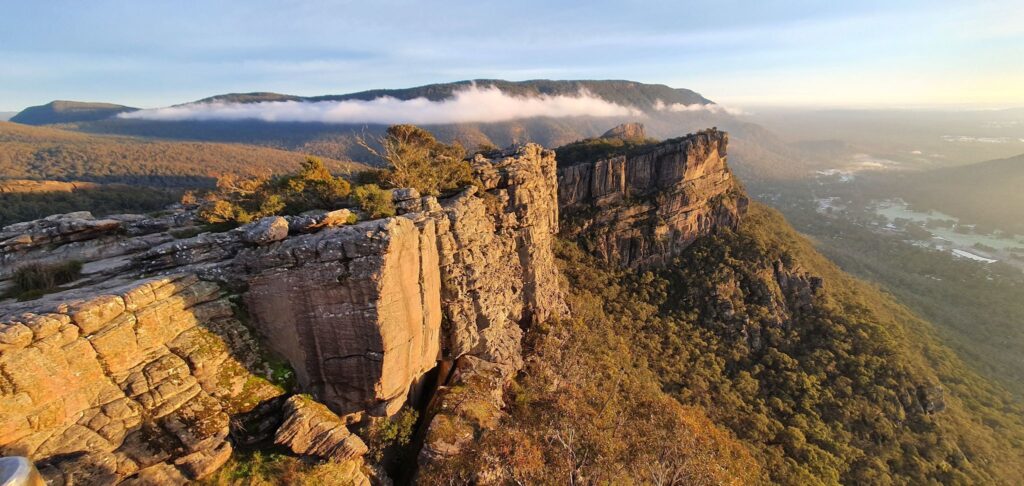
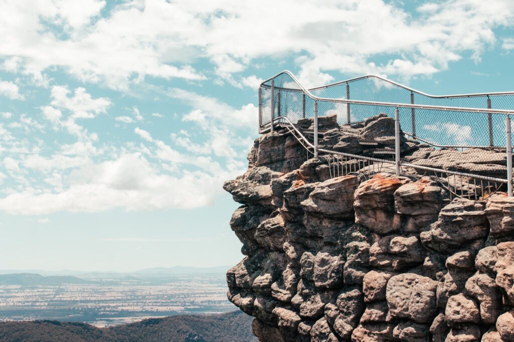
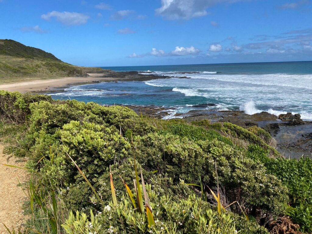
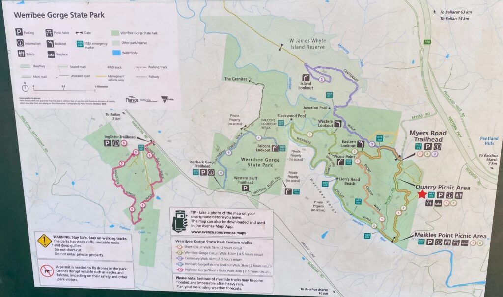
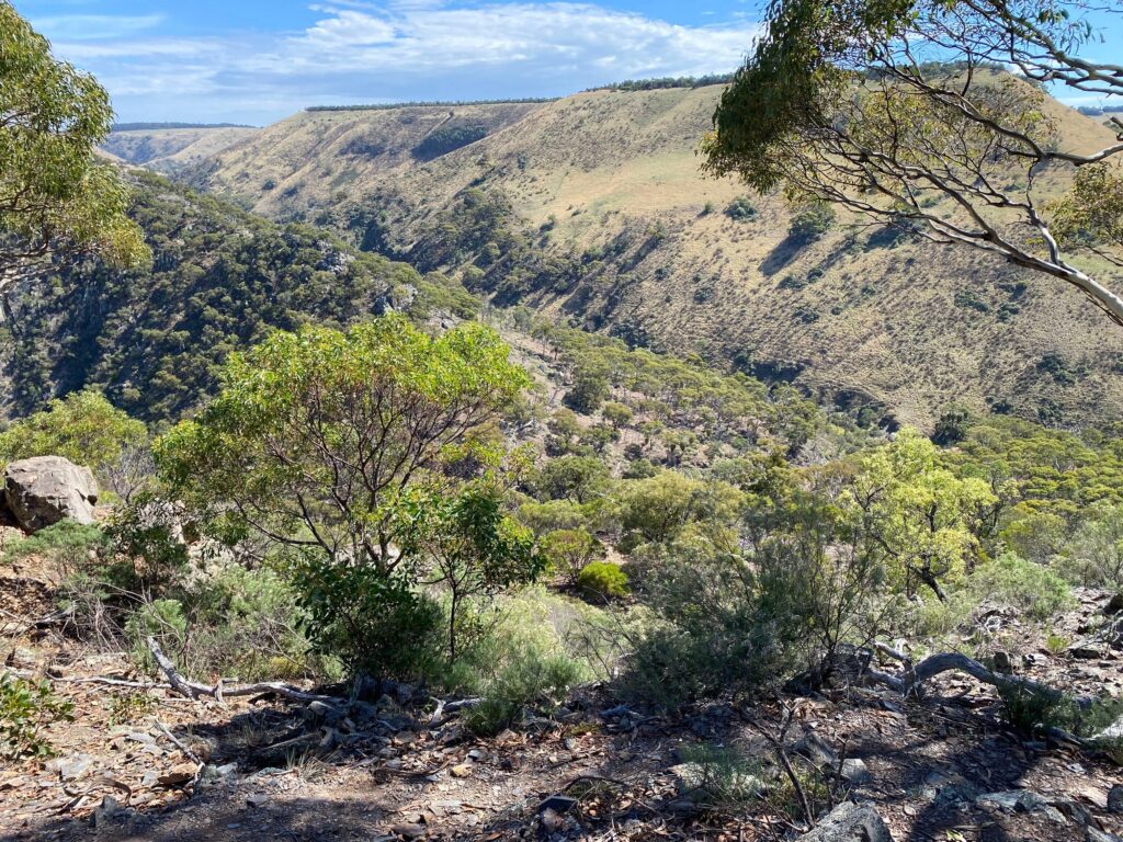
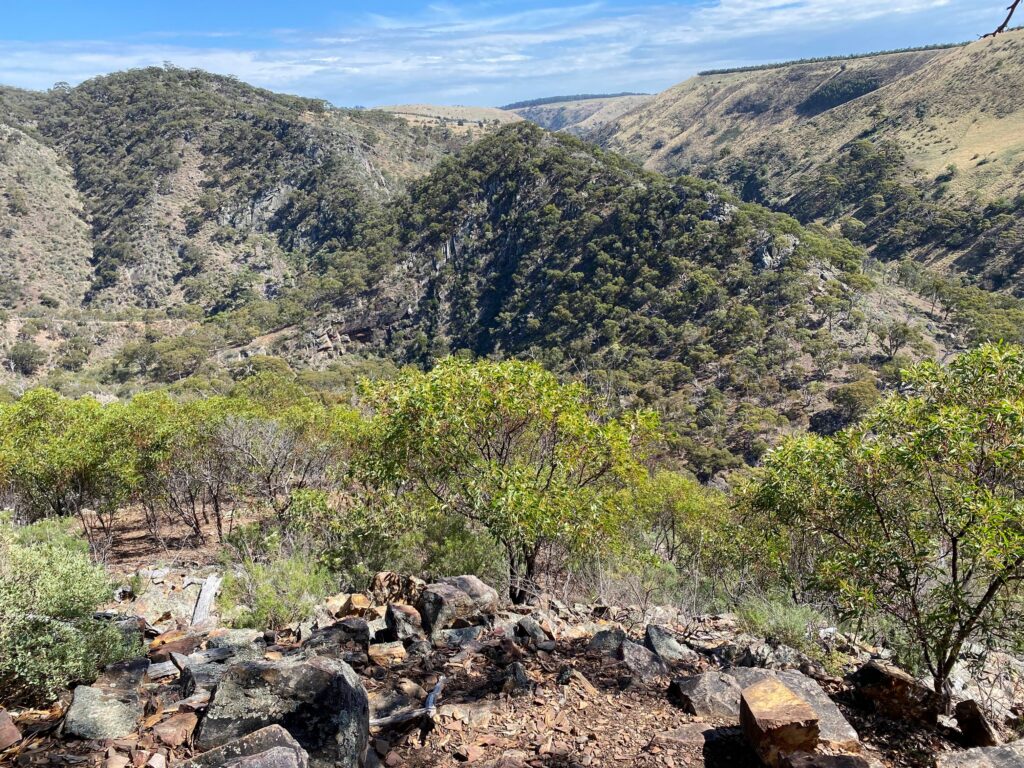
Start at one of three carparking locations on Myers Road. There are no shortcuts. Allow plenty of time and daylight. Walking anticlockwise returns you riverside along the clearly signposted track. It is steep in places with rock scrambling along sections of river-track. Excellent views are provided along the gorge rim. A 50 metre section of cable handrail is provided above the river upstream from Meikles Point Picnic Area.
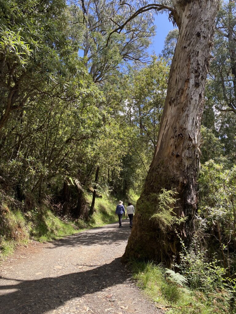
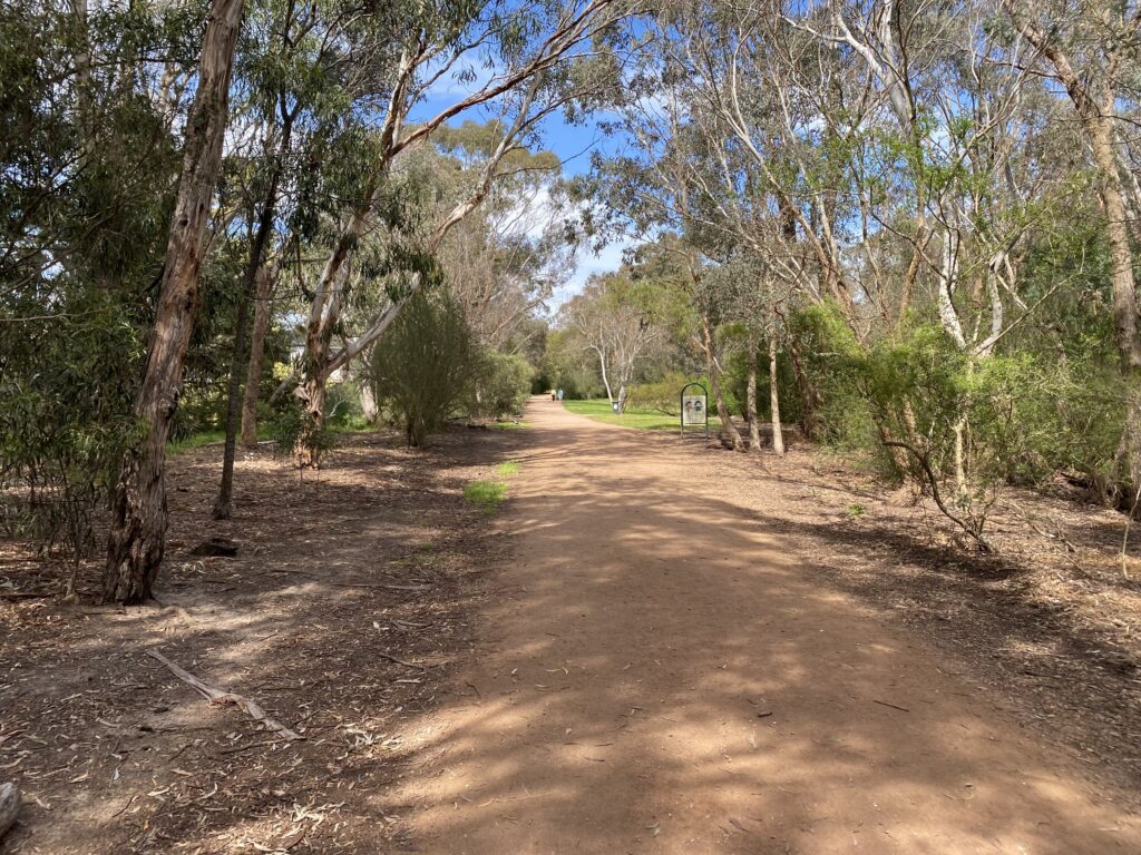
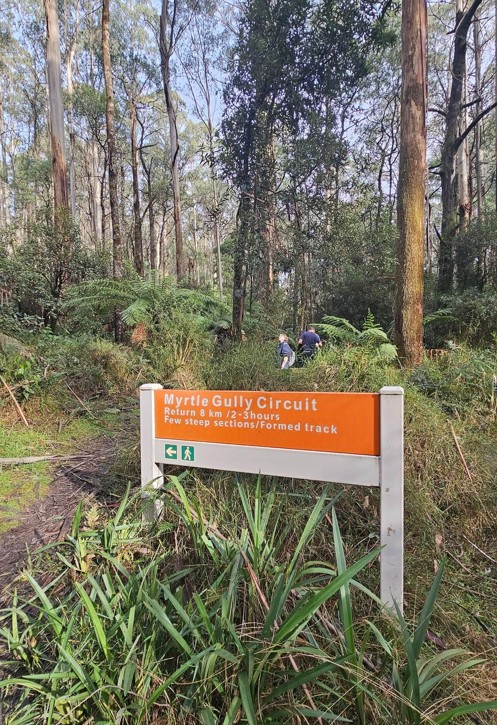
We started from the Quarry Picnic Area. The car park was almost full but we managed to find 2 free spots.
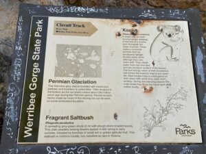
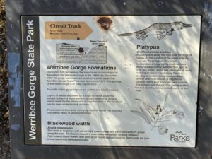
There is an information board with map, notices etc next to the car park.
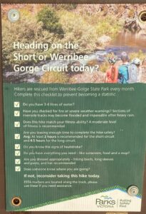
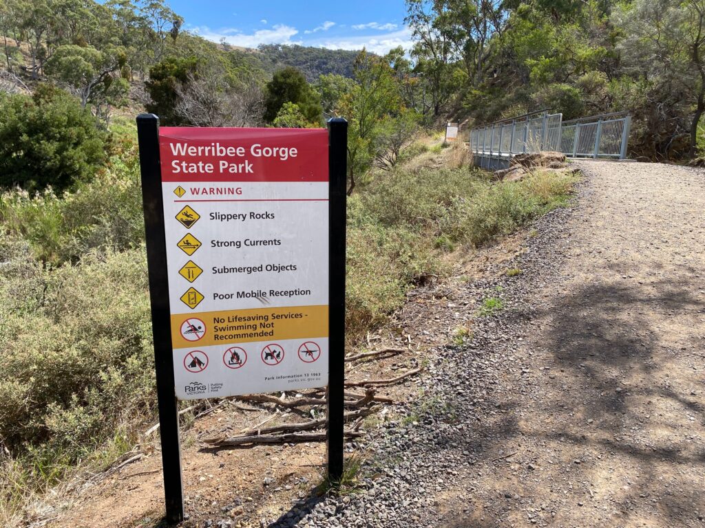
Hikers are rescued from Werribee Gorge State Park every month. Complete this checklist to prevent becoming a statistic.
- Do you have 3-4 litres of water?
- Have you checked for fire or severe weather warnings? Sections of riverside tracks may become flooded and impassable after heavy rain.
- Does this hike match your fitness ability? A moderate level of fitness is recommended.
- Are you leaving enough time to complete the hike safely?
Average: At least 2 hours is recommended for the short circuit and 4.5 hours for the long circuit.- Do you know the signs of heatstroke?
- Do you have everything you need – like sunscreen, food and a map?
- Are you dressed appropriately – hiking boots, long sleeves and pants, and hat recommended.
- Does someone know where you are going?
If not, reconsider taking this hike today.
ESTA markers are located along the track, please use these if you need assistance.
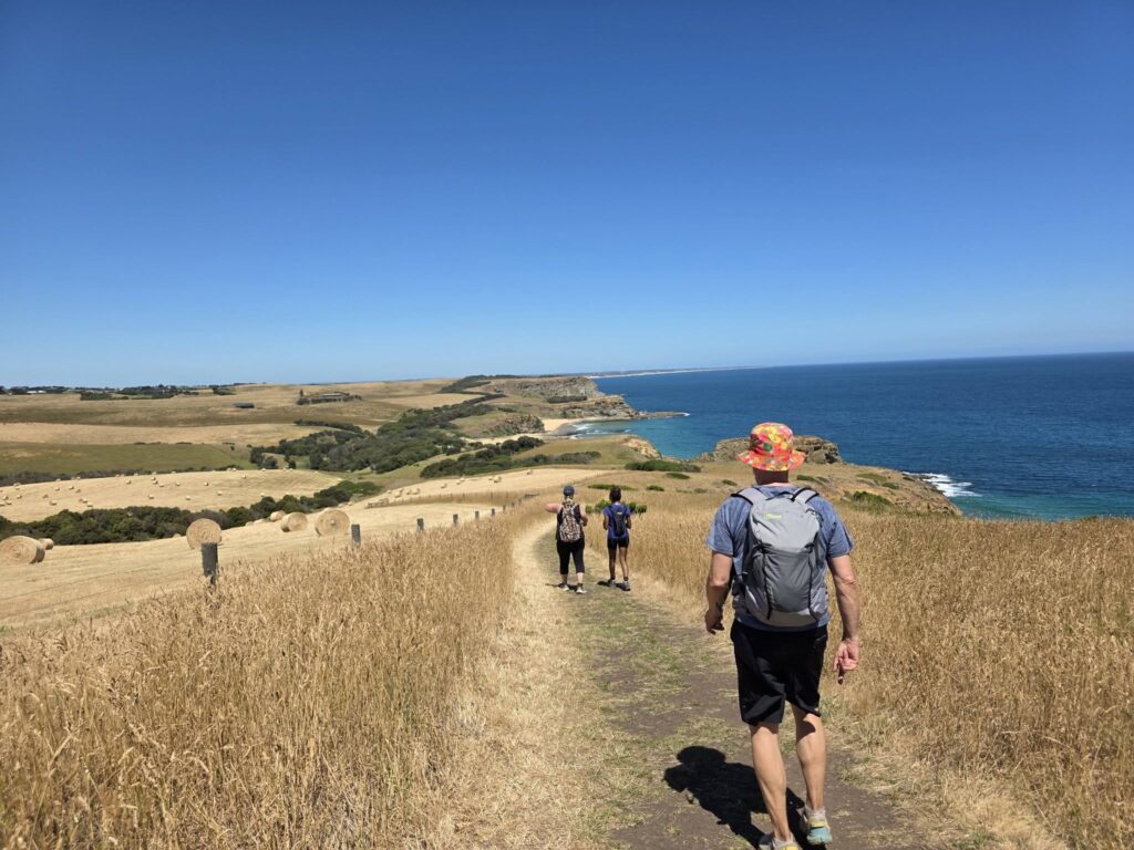
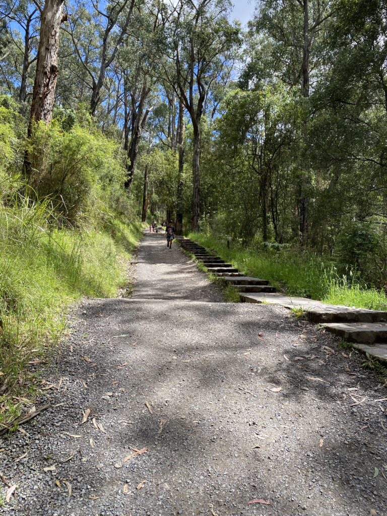
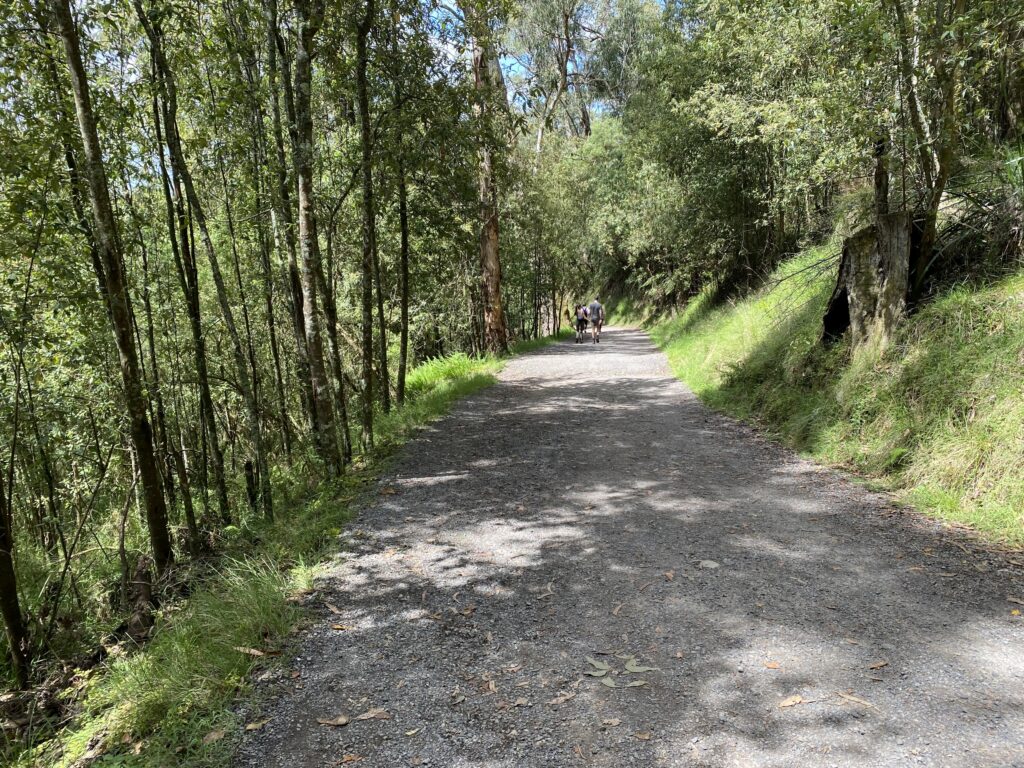
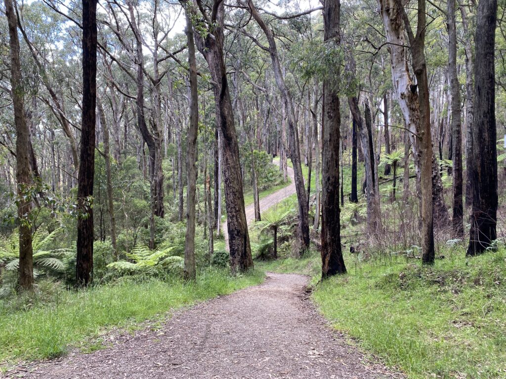
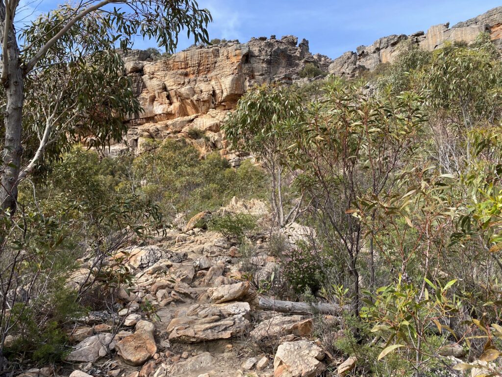
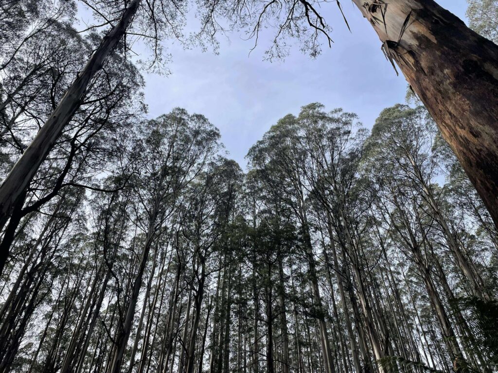
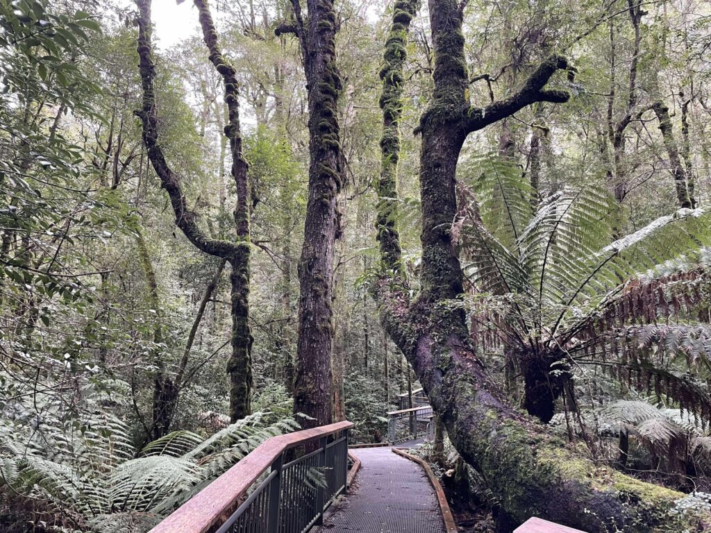
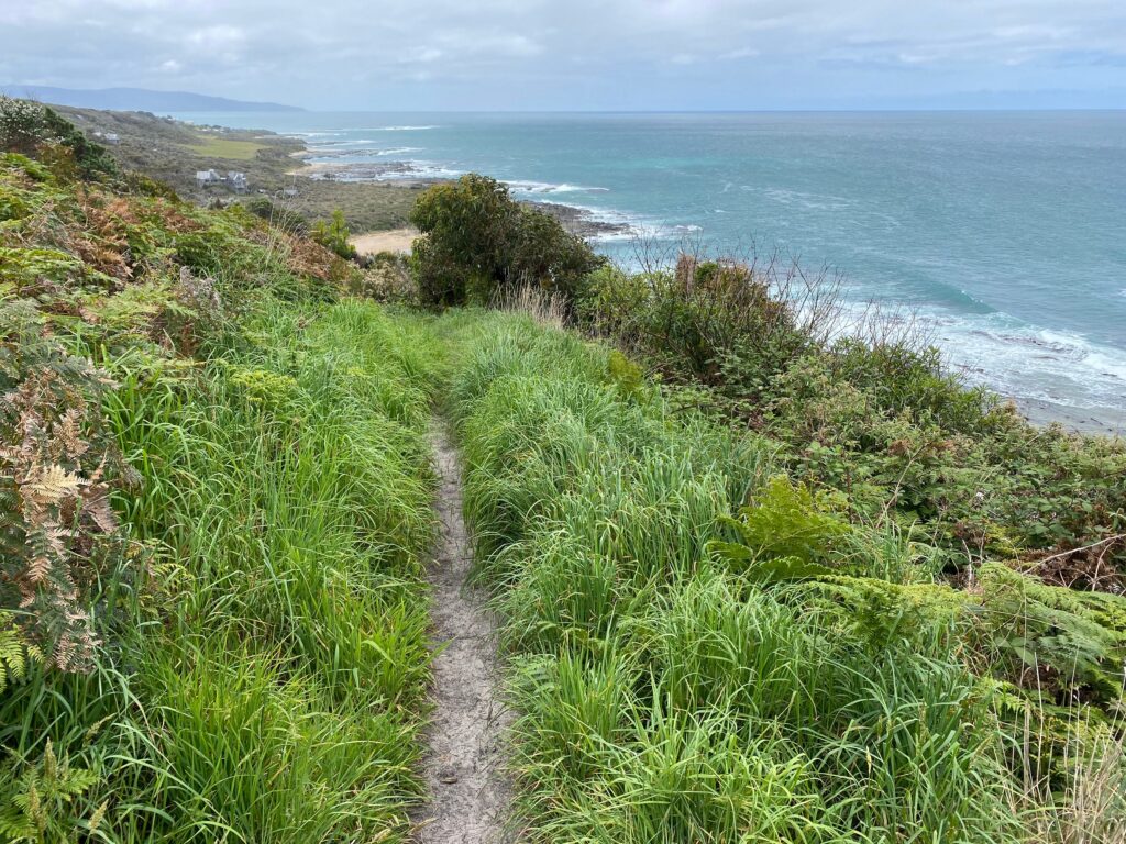
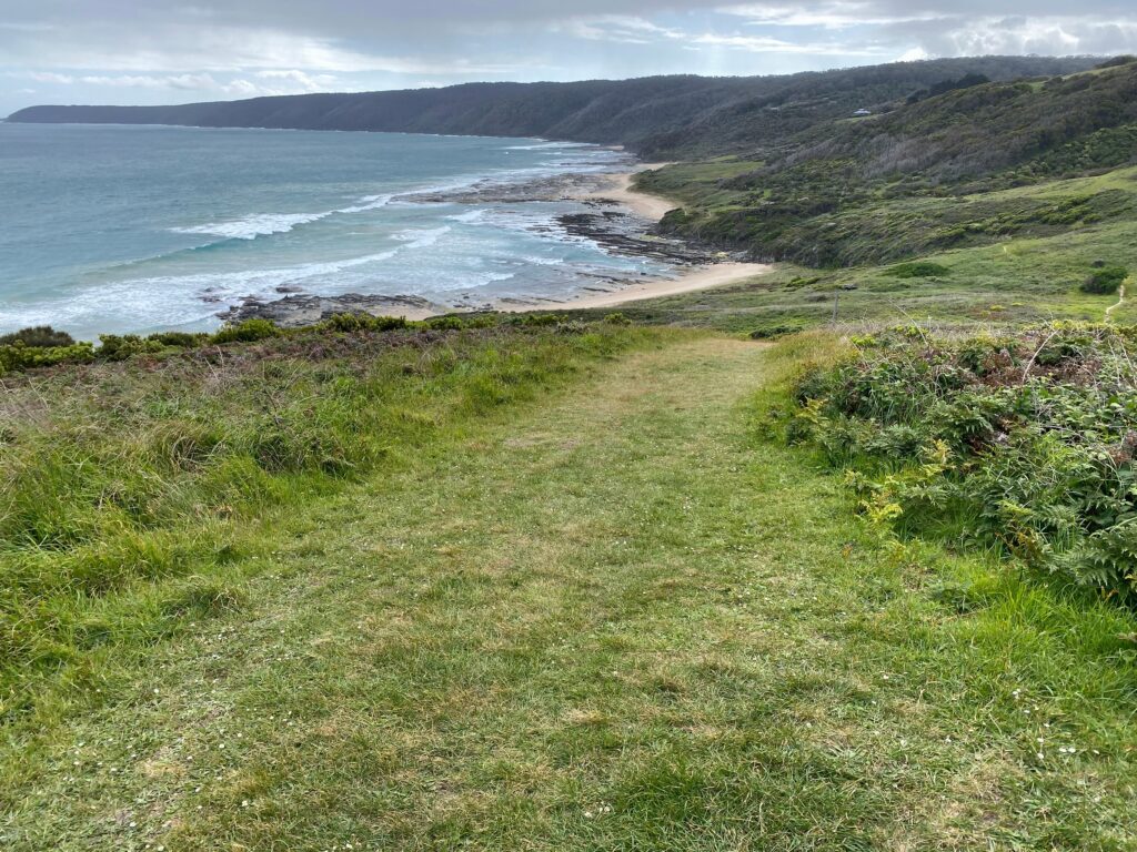
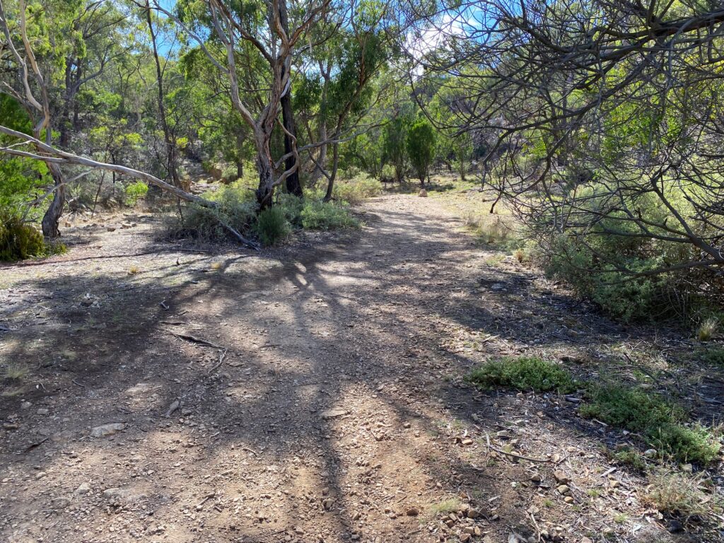
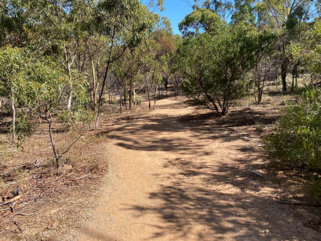
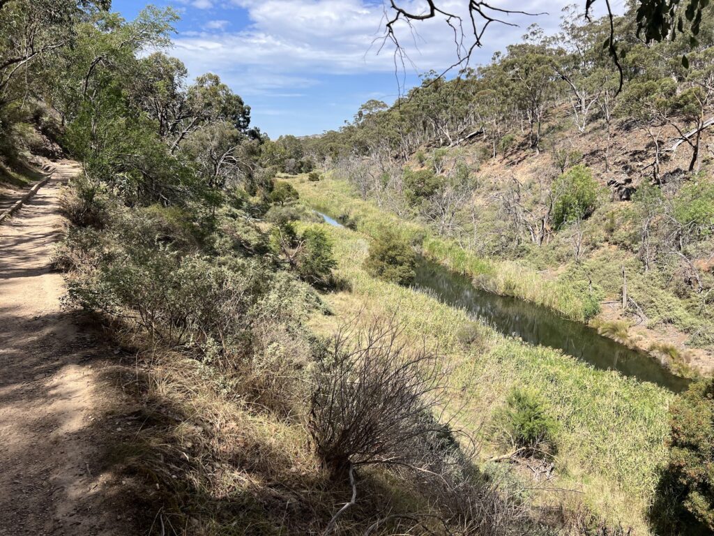
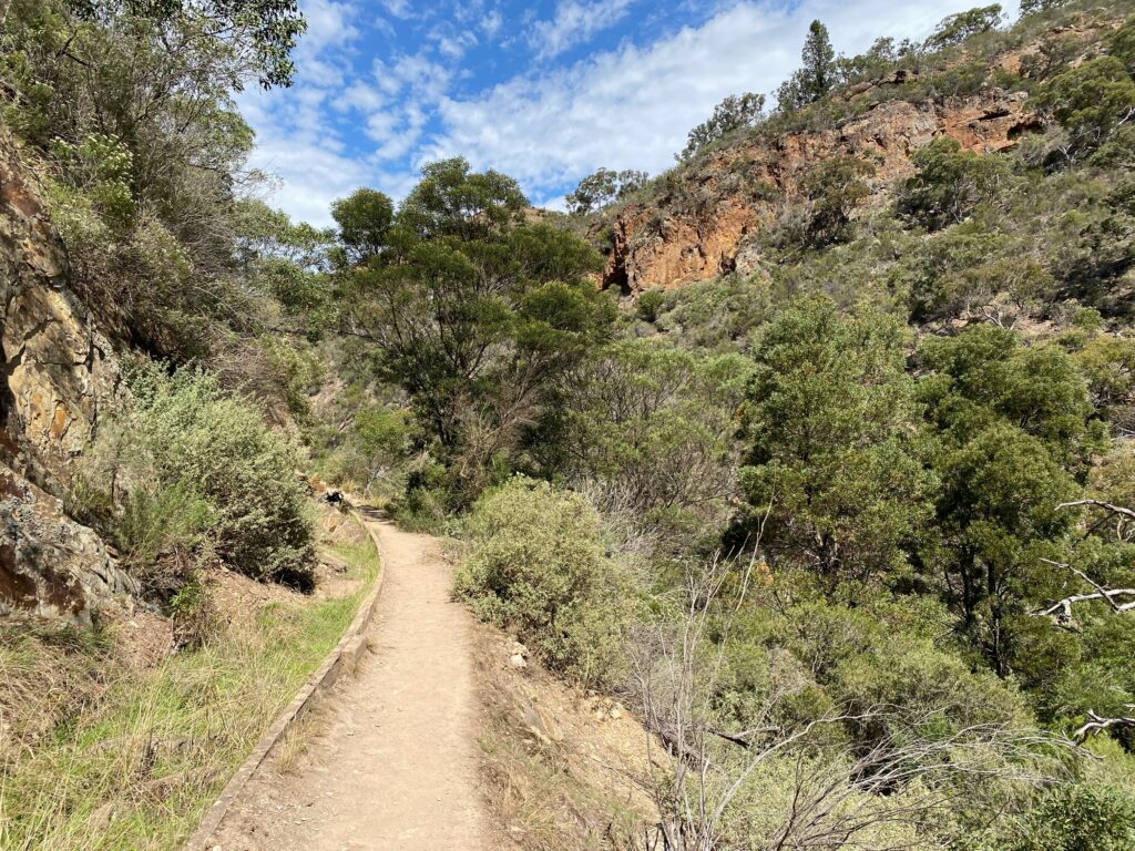
The trail was wide and flat in the beginning.
We saw the first information sign soon:
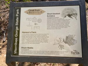
Short-beaked Echidna
Tachyglossus aculeatus
Disturbed ground may signal the presence of the short-beaked echidna. This small mammal is covered in spines or modified hairs. Although echidnas are mostly nocturnal they can often be seen in the gorge on damp cloudy days. Echidnas dig with powerful front legs. Lavae is collected from ant nests using their long sticky tongue. Echidnas live by themselves most of the year on a home range of more than 100 ha. Breeding occurs in late winter.Hanson’s Farm
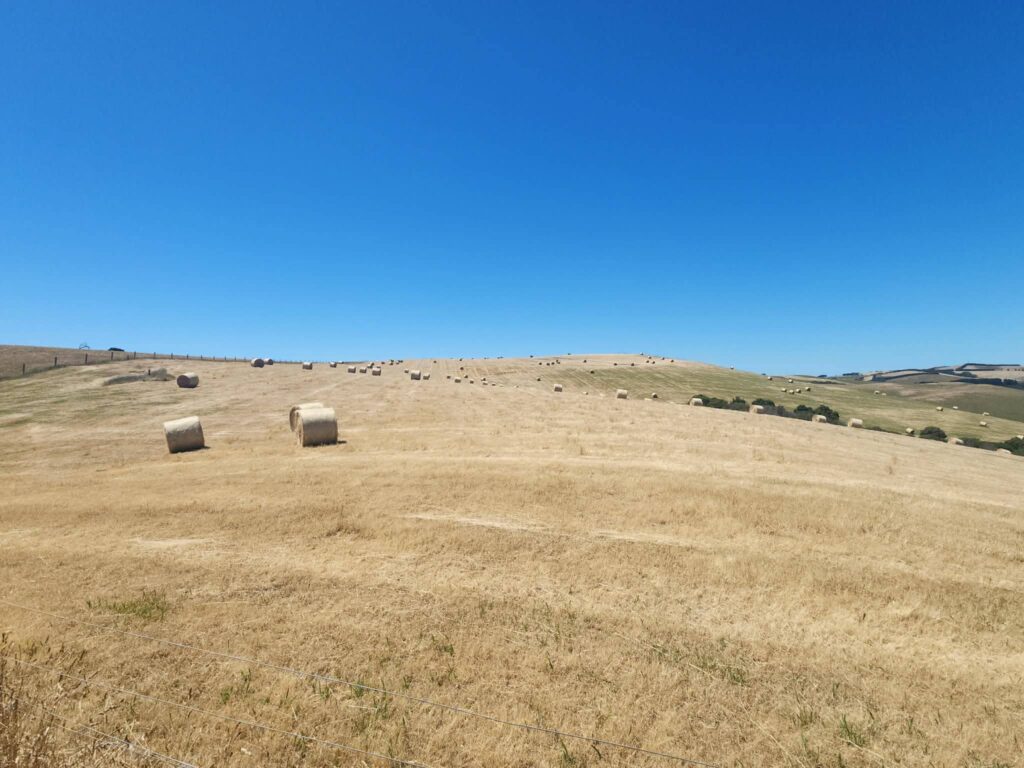
In 1871 selectors Thomas and Eliza Hanson purchased this 8 ha block of land. Remains can be seen of a freestone cottage, extensive stone walled orchard and garden built by Thomas, Eliza and their six sons. A horse works to the east of the house was used to cut chaff. There is evidence of another building to the west of the house. The other part of their farm, 24 ha overlooking Werribee Gorge, is crossed before reaching Picnic Point on the Circuit Track. This rich volcanic soil was used to grow potatoes.
Black Wattle
Acacia mearnsii
Black Wattle is a small to medium tree with smooth dark bark, feathery dark-green bipinate foliage with many glands along the stem. Bunches of pale, creamy, scented round flowers appear November to December. Long brown seed pods hang in bunches during January.
White Cypress Pine
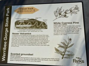
Callitris glaucophylla
A grey-green, straight trunked, slow growing tree from 7-15m. Leaves are narrow and cylindrical. Remnant stands of Callitris can be seen growing around the top of the Gorge. This stand of pine planted in 1987 covers an area of volcanic soil used for growing potatoes in the 1870s.Newer Volcanics
A weathered olivine basalt and scoria layer in the Picnic Point area is evidence of a volcanic flow from Mt Blackwood about three million years ago. Some of this is now weathered to rich red volcanic soil. Erosion has removed much of the basalt capping and evidence of many other geological periods. Under the basalt is a huge deposit of glacial tillite and sandstone with conglomerate. This was deposited by a series of continental ice sheets (glaciers) about 280 million years ago. The Circuit Track crosses these Permian rocks each side of Picnic Point.
Scented groundsel
Senecio odoratus
A bushy sprawling shrub growing to about one metre. Long dark-green fleshy leaves have a distinctive smell. Bunches of small yellow daisy-like flowers, 2cm in diameter, appear in spring and summer on the end of the stems.
Black Wallaby
Wallabia bicolour
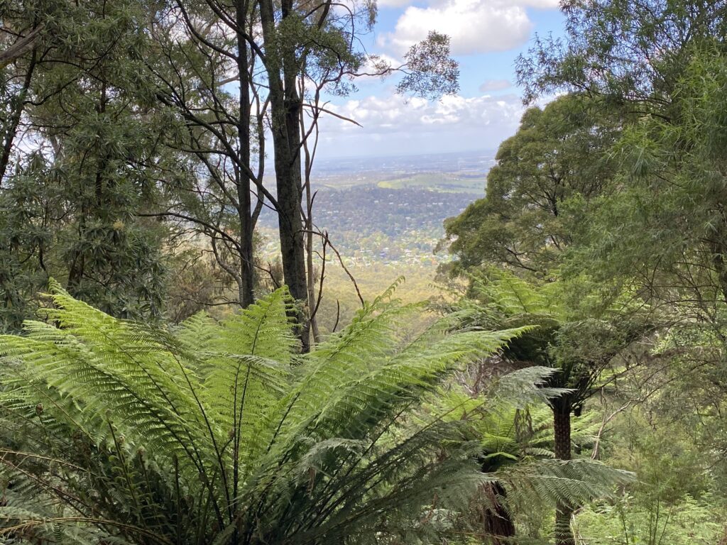
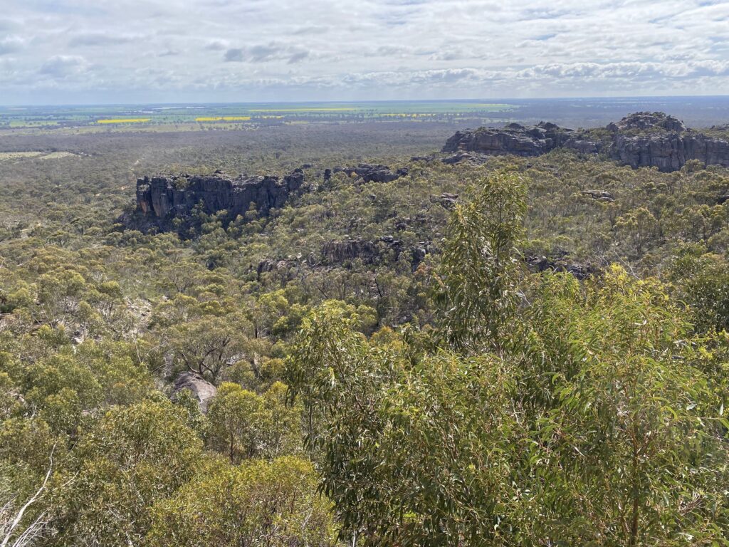
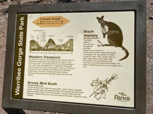
The black wallaby may be seen throughout the Park. Preferring to browse on shrubs and bushes rather than grass it emerges from the shelter of forest to feed at night. With coarse dark fur light yellow belly, black paws, feet and wrists it moves distinctly with head low and white tipped tail straight out behind. Breeding may occur throughout the year.Western Viewpoint
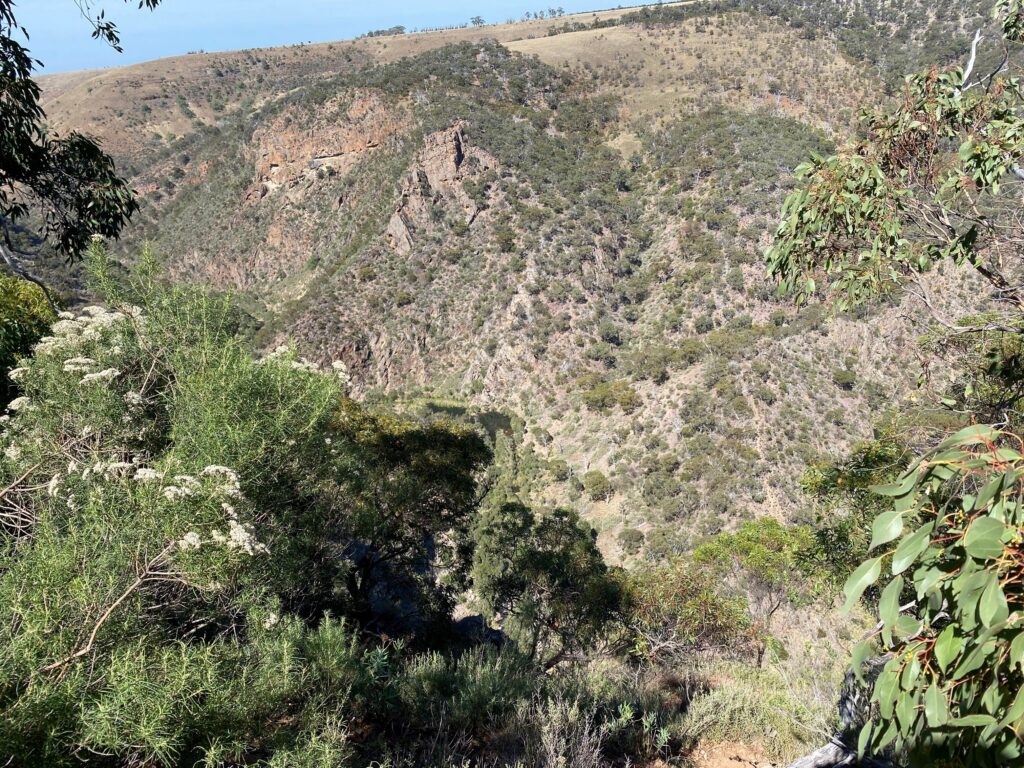
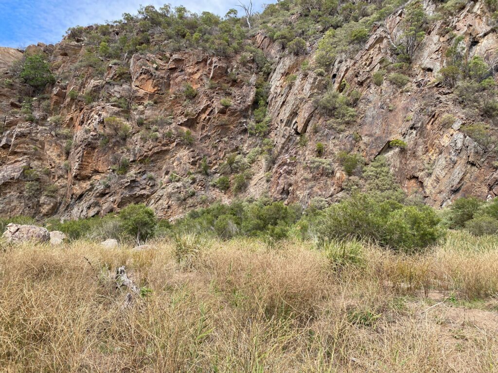
The Island, to the north-west, was formed when lava from Mount Blackwood flowed south and filled the old valley of the Myrniong Creek. The stream wore a new valley parallel to and north of the Werribee River. A relatively hard basalt cap protected The Island from erosion. South of The island the course of the Werribee River follows the Werribee Gorge Fault. The track crosses Ordovician marine sediments that have been upended during the Devonian Period.
Snowy Mint Bush
Prostanthera nivea
A shrub to about one metre with light green, small, narrow, opposite leaves. Striking white, bell shaped flowers with longer three part lower petal and yellow dots on the throat appear in spring. Seeds are flat triangular shapes at first then turning purple as they ripen. Grows on rocky hillsides.
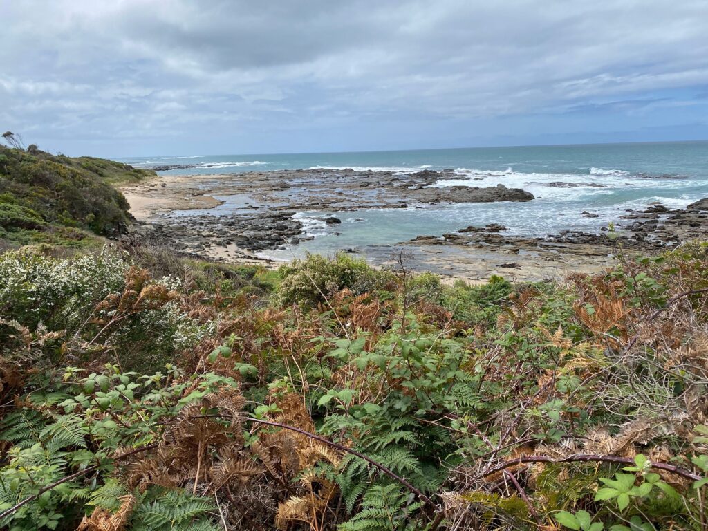
Western lookout
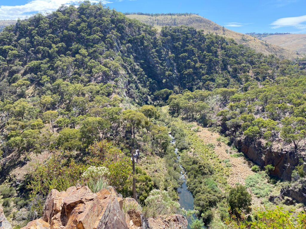
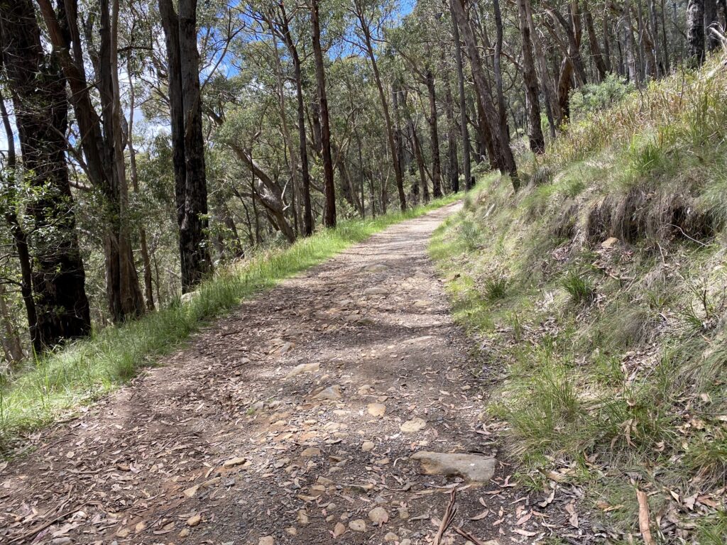
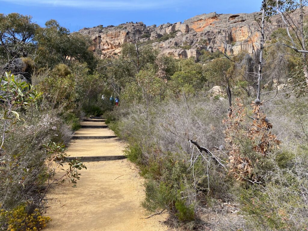
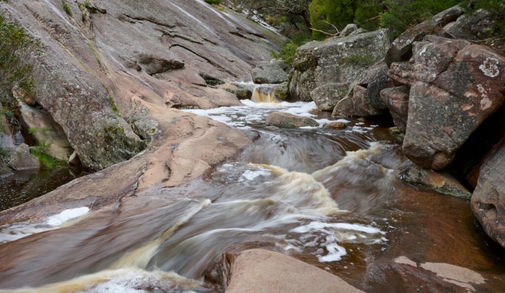
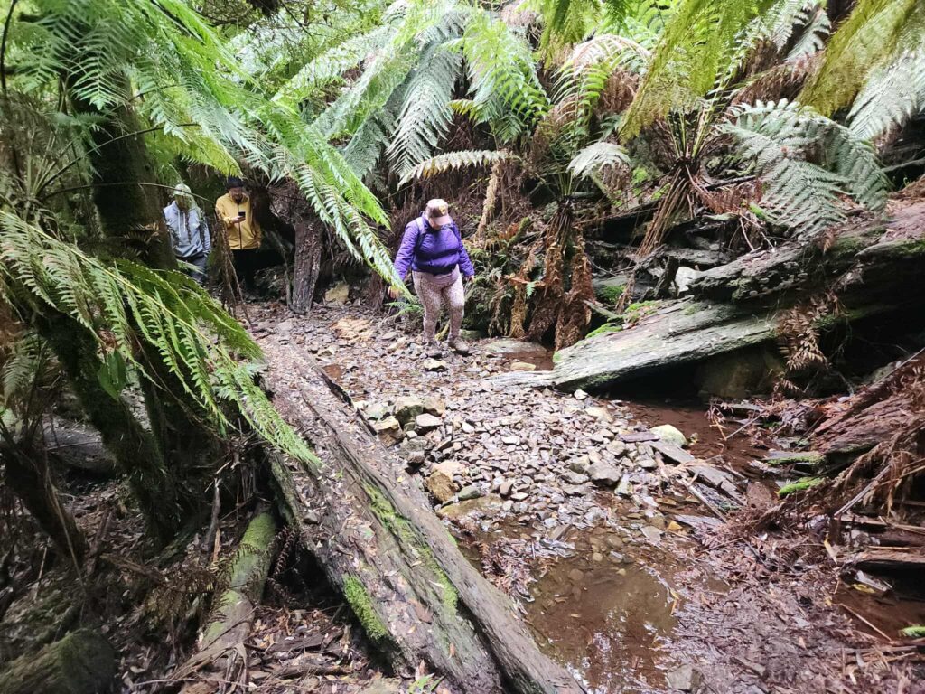
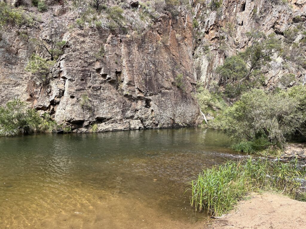
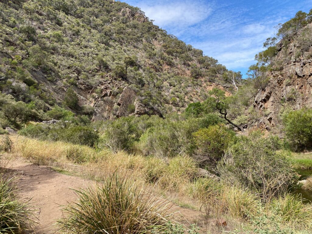
After a relatively short descent we reached the river.
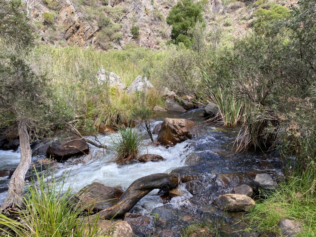
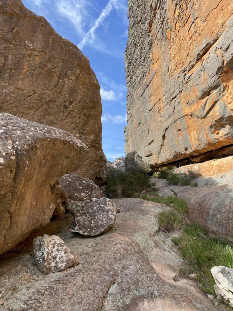
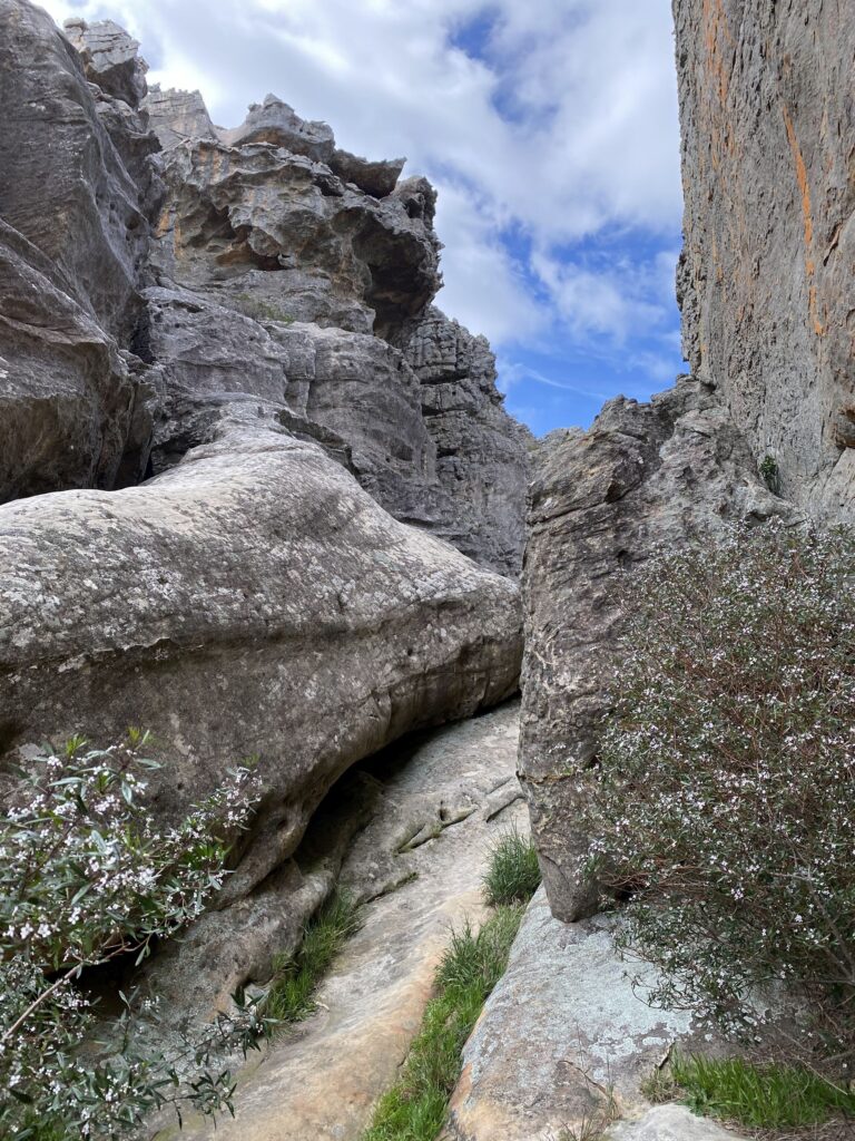
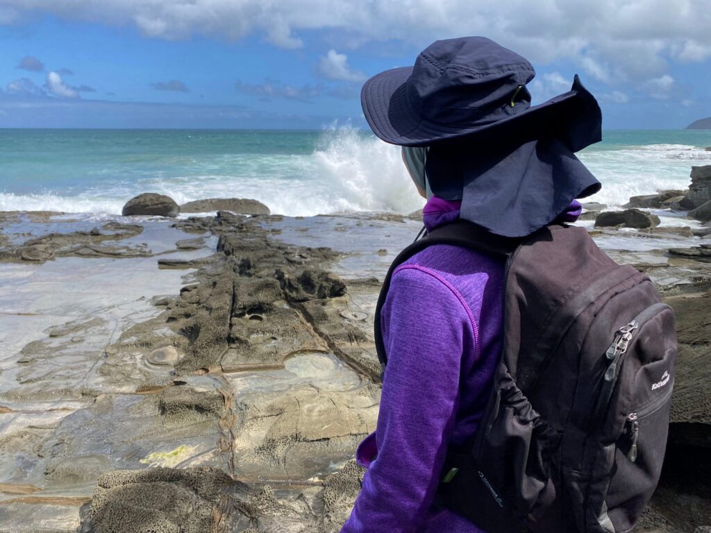
The cable handrail section didn’t cause any problems to us.
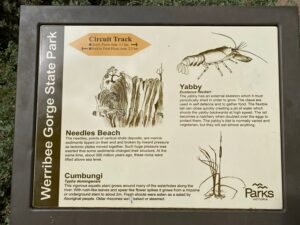
Yabby
Eustacus fleckeri
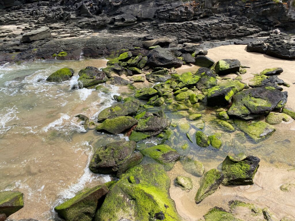
The yabby has an external skeleton which it must periodically shed in order to grow. The claws are used in self defence and to gather food. The flexible tail can close quickly creating a jet of water which shoots the yabby backwards at high speed. The tail becomes a hatchery when doubled over the eggs to protect them. The yabby’s diet is normally varied and vegetarian, but they will eat almost anything.Needles Beach
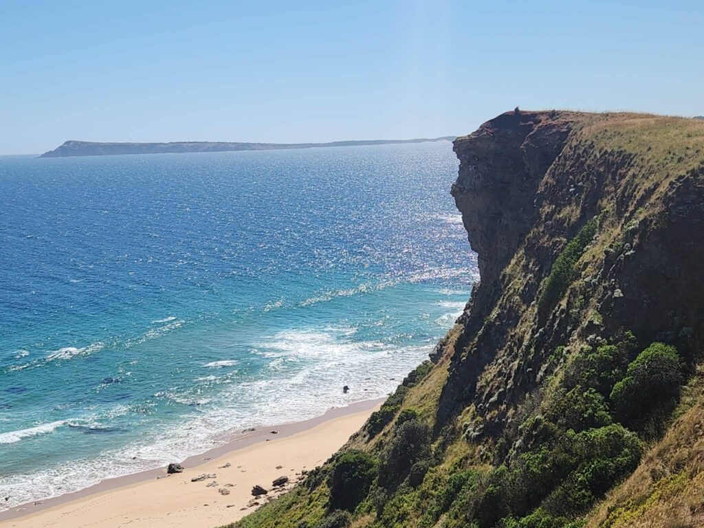
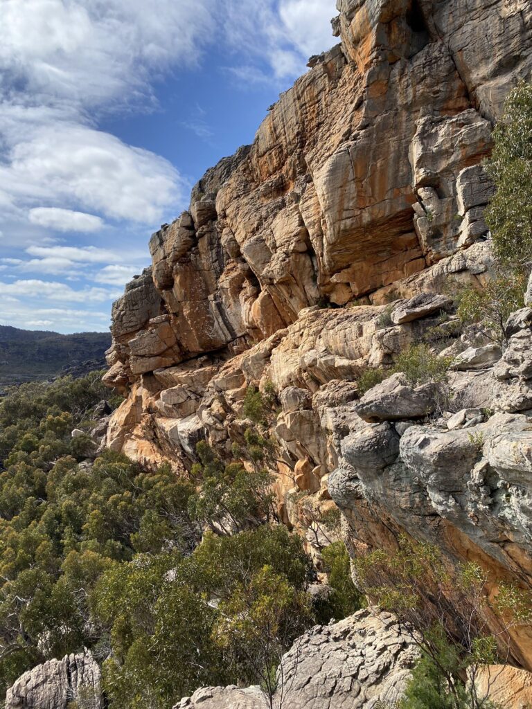
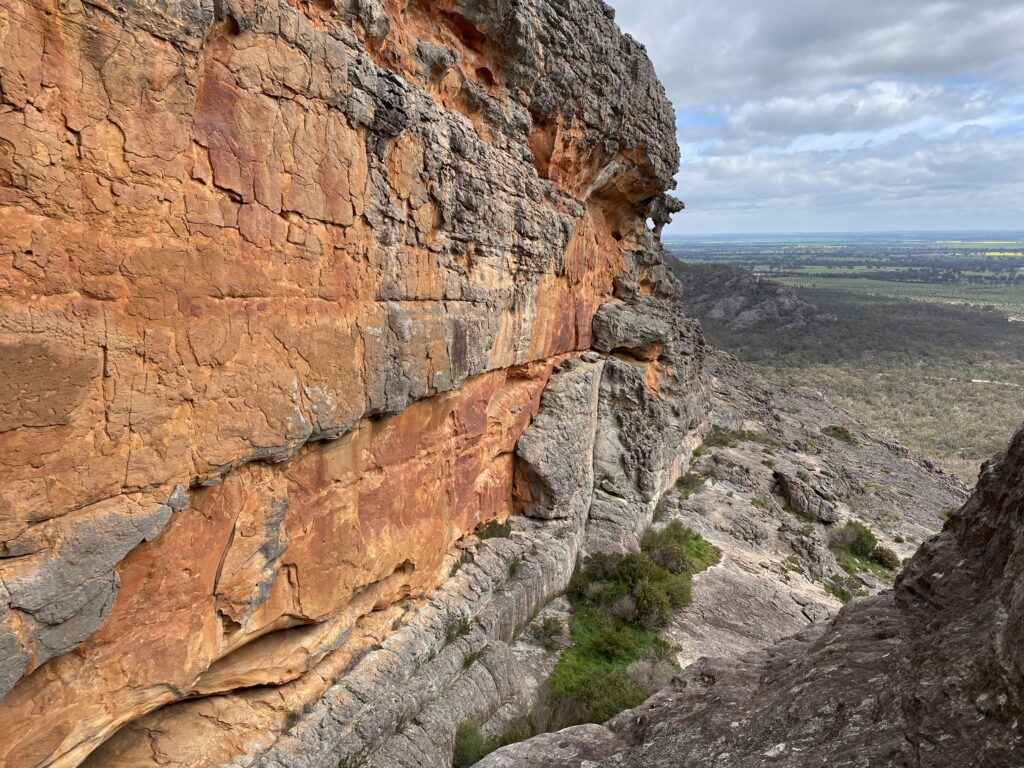
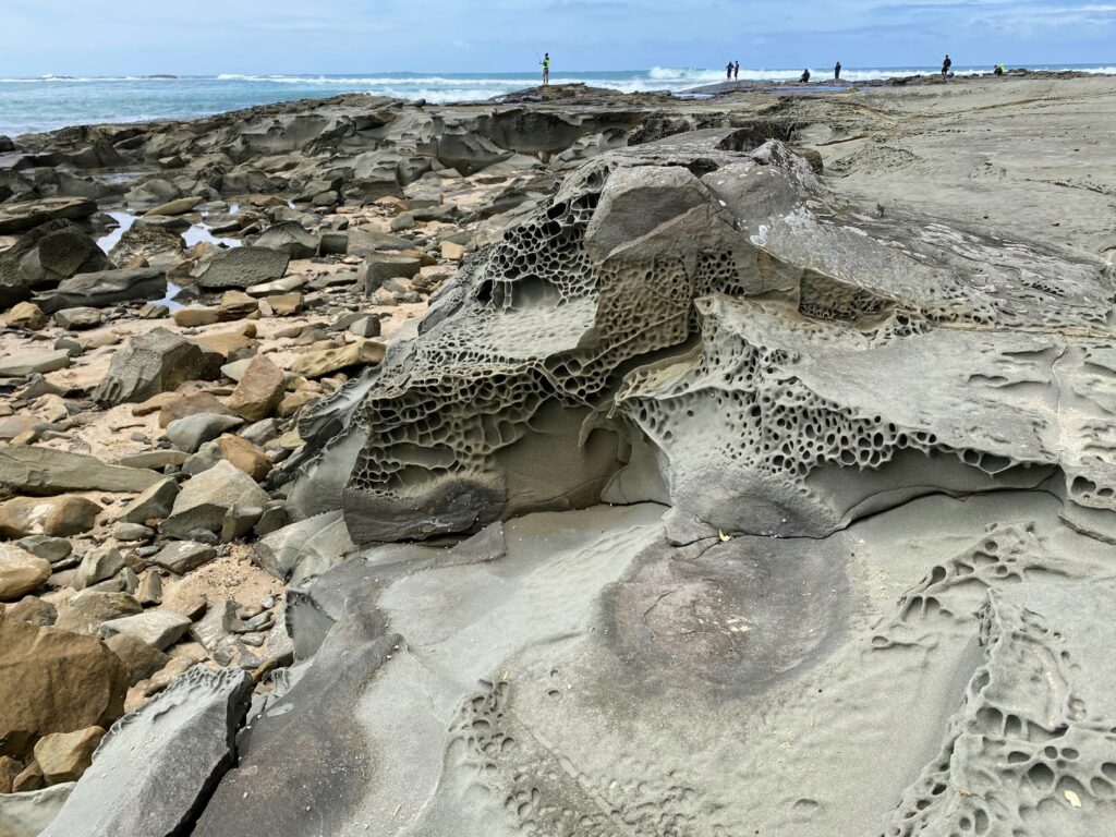
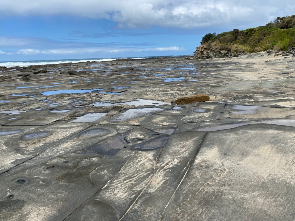
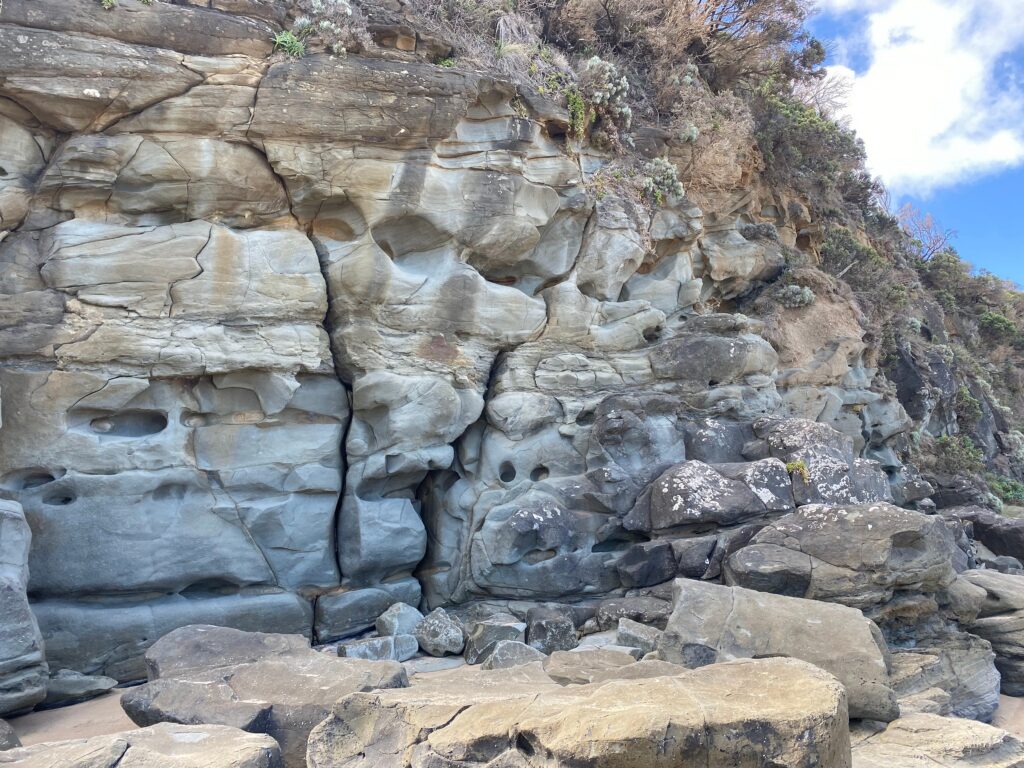
The needles, points of vertical shale deposits, are marine sediments tipped on their end and broken by inward pressure as tectonic plates moved together. Such huge pressure was exerted that some sediments changed their structure. At the same time, about 350 million years ago, these rocks were lifted above sea level.
Cumbungi
Typha domingensis
This vigorous aquatic plant grows around many of the waterholes along the river. With rush-like leaves and spear like flower spikes it grows from a rhizome or underground stem to about 2m. Fresh shoots were eaten as a salad by Aboriginal people. Older rhizomes we baked or steamed.
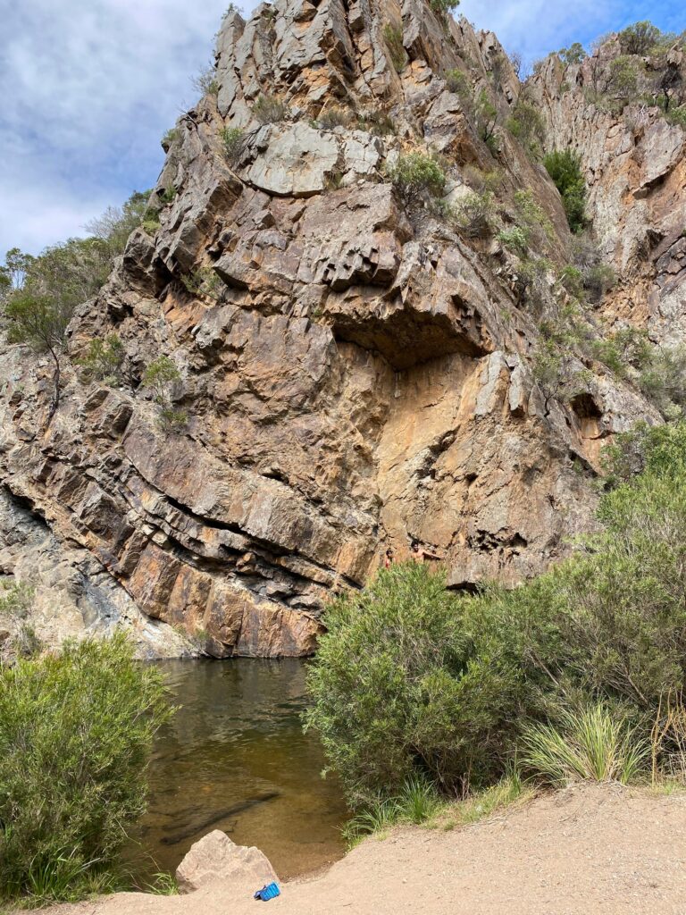
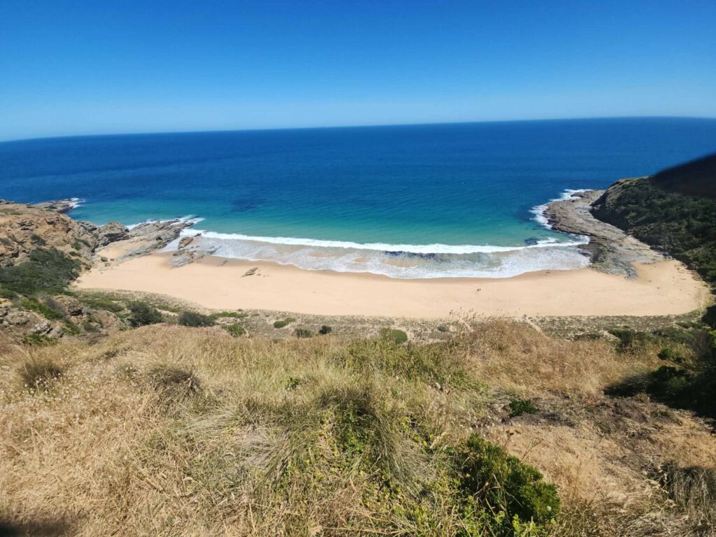
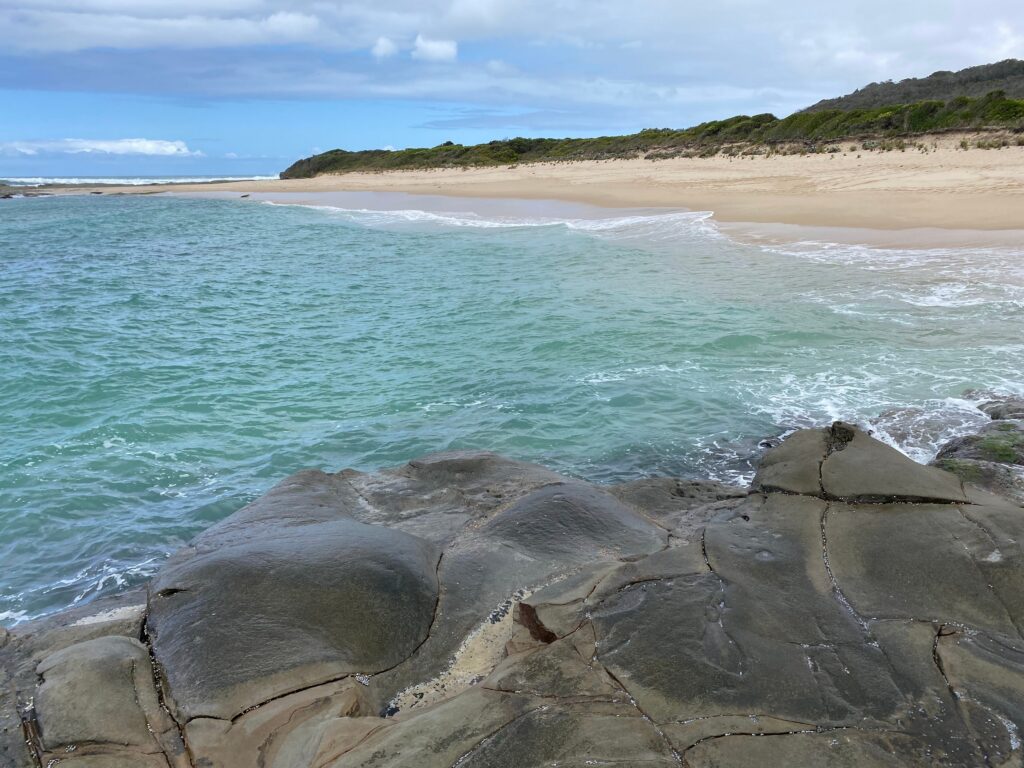
Lionhead Beach
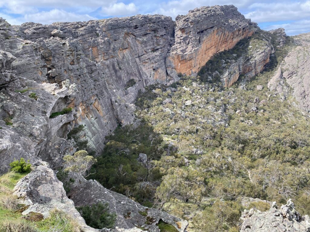
Above the beach and river the Lionhead formation is the dramatic remains of a syncline. About 500 million years ago fine layers of eroded material deposited by marine currents built up in the sea. These horizontal deposits were compressed and during the Middle Devonian period about 380 million years ago, were subjected to tremendous inward pressure by tectonic plate movement. This folded and faulted the layers into the synclines and anticlines found along this cliff. Look for features of a lion’s head on the rockface.
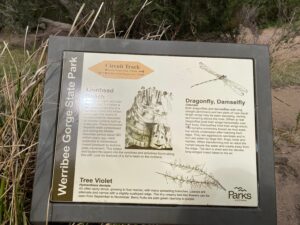
Dragonfly, Damselfly
Odonata
Both dragonflies and damselflies with long straight abdomens and two pairs of near equal length wings may be seen swooping, darting and hovering above the river. (When at rest dragonflies hold their wings horizontally over their body. Damselflies hold their wings erect). The nymphs, commonly known as mud-eyes, live wholly underwater after hatching from eggs. They are aggressive cannibals and in turn are eaten by large fish, frogs, birds and reptiles. When transforming into an adult the nymph leaves the water and crawls away from the edge. The skin is shed and the slender, long-winged insect takes to the air.Tree Violet
Hymenthera dentata
An often spiny shrub, growing to four metres, with many spreading branches. Leaves are alternate and narrow with a slightly scalloped edge. The tiny creamy bell-like flowers can be seen from September to November. Berry fruits are pale green ripening to purple.
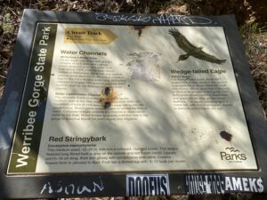
Water Channels
McFarlane’s Water Race
On the south side of the river are the remains of rock walls and cuttings which show the route of a water race built during 1904–1906 for local farmer William Η McFarlane. Dynamite was used to remove great sections of cliff face to create a bed for the 2.5 mile long water race. McFarlane intended to irrigate 100 acres to produce dried lucerne chaff for the Melbourne poultry-food market.Water Commission Channel
The concrete Water Commission Channel on the northern side of the river was constructed from 1926–29. Hundreds of tons of rock were blasted away falling into the gorge below. Sluice gates were installed to control the flow of water. Concrete bridges crossed the channel to divert storm water to the river. Water flowed by gravity from the river in the gorge to Bacchus Marsh for town supply and irrigation.Wedge-tailed Eagle
Aquila audax
The Wedge-tailed eagle, Australia’s largest bird of prey, nests in this area. A huge platform of sticks, lined with bark and leaves, can be seen high in the forks of several large trees in the gorge. Two fluffy white chicks, hatch in September and gradually develop golden brown feathers. The adults, standing up to a metre tall, with 2-3 m wingspan, darken to become almost black with age.Red Stringybark
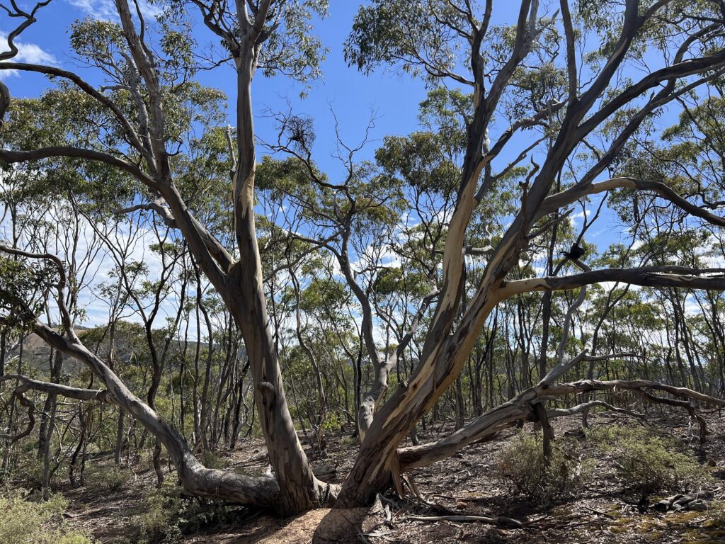
Eucalyptus macrorhyncha
This medium sized, 12–35 m, tree has a compact, rounded crown. The deeply fissured long fibred bark is grey on the outside and red brown inside. Leaves are10-16 cm long, thick and glossy with conspicuous side veins. Creamy flowers form in January to April. Fruit has a domed top with 6-12 buds per cluster.
Koala
Phascolarctos cinereus
A koala may be seen during the day sleeping in the fork of a manna gum alongside the water channel. These solitary nocturnal animals feed on eucalyptus foliage. Koalas rarely drink, although they can swim well. They obtain water from rain and dew and the moisture content of the leaves. The low energy value of their eucalyptus diet forces the koala to lead a very quiet life. Male koalas have a scent gland on their chest with which they mark their territory. During the breeding season the male koala may throw his head back and bellow loudly.
We saw some people swimming despite the sign not recommending it.
Platypus
Ornithorhynchus anatinus
In quiet pools along the river look for rings of ripples on the surface of the water and you may see the platypus. This small monotreme, an egg laying mammal, has dense waterproof fur, webbed feet, and a duck like snout. From late afternoon till early morning platypus travel along the river feeding on bottom living invertebrates, shrimp and insect lavae. A vegetation packed nest is built in a river-bank burrow. The female lays 2 eggs. The young suckle for 4-5 months before coming out in to the river.Werribee Gorge Formations
Geologists first recognised the importance of ancient glacial deposits in the Werribee Gorge in the 1880s. By December 1907 the gorge was reserved as a future public park. The Werribee Gorge State Park was declared in 1975. The geology of Werribee Gorge is of State significance.
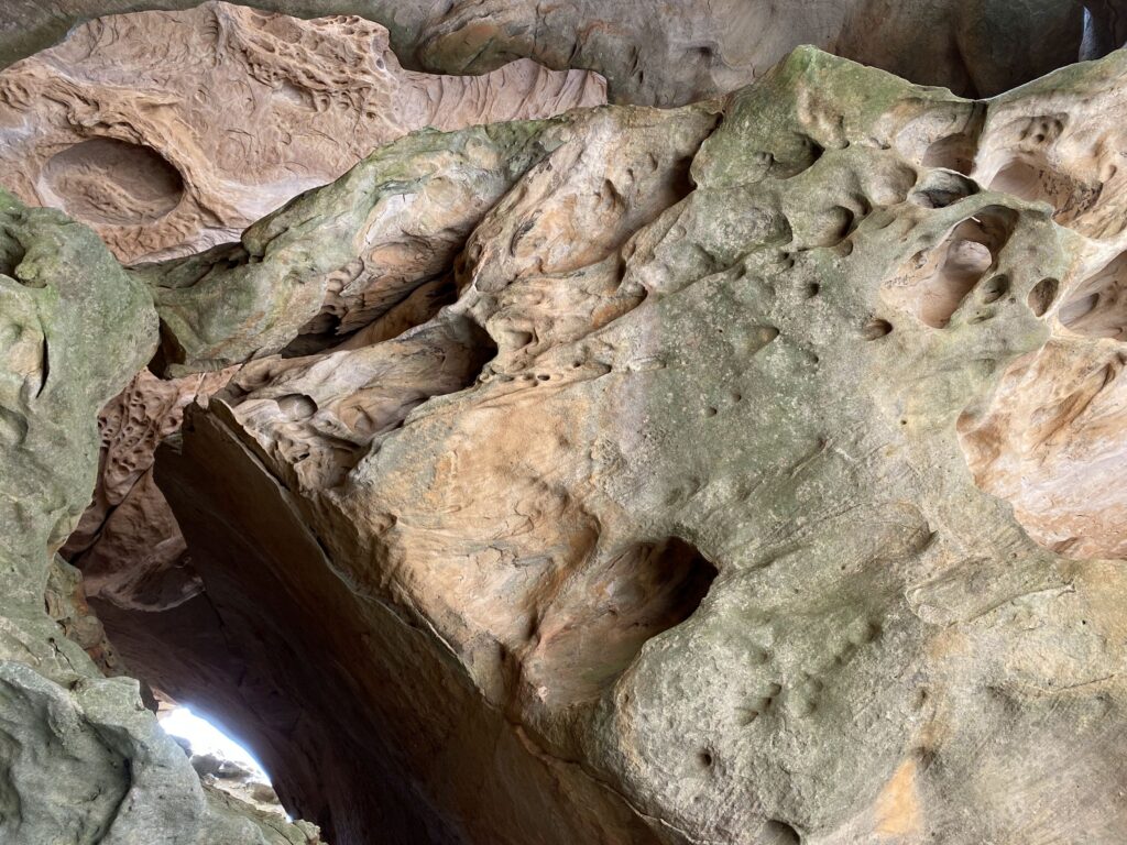
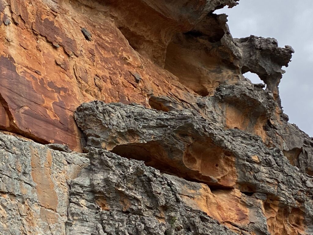
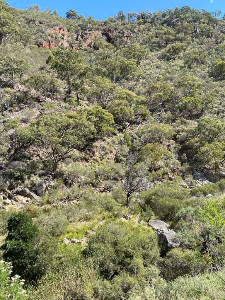
The cliffs of the gorge expose an uplifted and folded seabed.
Layers of debris deposited by a huge ice-sheet cover the eroded surface of these ancient seabed sediments. Scrape marks made by the movement of large boulders in the ice sheet can be seen on some rock surfaces.
The erosion of the newer overlying volcanic basalt has exposed 500 million years of geological history.
Blackwood wattle
Acacia melanoxylon
This small to large tree with dense dark green foliage and hard fissured bark grows along the river. The leaves have 3-5 main veins with a faint network between. Pale creamy round flowers with fairly large heads appear in spring. Seed pods are pale brown becoming twisted and coiled.
It took us 2 hours and 30 minutes to complete this circuit. It was great. It wasn’t hard for us.
| Distance | 7.6 km |
| Estimated Time | 2-3 hours |
| Difficulty | moderate |
| Start from | Werribee Gorge Car Park |
| Map and more photos |