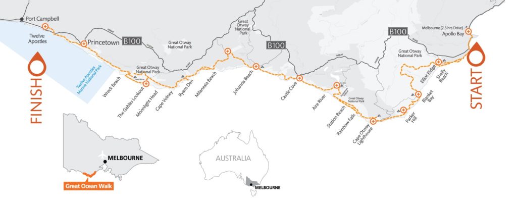
First, I would like to acknowledge the Yalukit Willam clan of the Boonwurrung peoples of the Kulin Nations as the traditional owners of Albert Park. I want to pay my respects to the past, present and any Indigenous people among us today. I also want to acknowledge that I have profited and benefited from stolen land and that Indigenous people were never ceded sovereignty. Finally, I would like to acknowledge the Wurundjeri peoples of, Naarm, where I sit and write this blog and would like to acknowledge the traditional owners of the many lands my readers come from.
Albert Park has an interesting history that I was unaware of until doing more research but it was originally the mouth of the Birrarung (Yarra River). The traditional owners of the land that now holds Albert Park Lake were the Yalukit Willam people. Willam means house, home or place and Yalukit Willam means ‘river home’ or ‘people of the river’. This area was a rich home where Yalukit Willam and their guests found many resources for food, canoe building and mia-mias (temporary homes).
To understand the history of current day Albert Park Lake we must start further up Birrarung at Queen St Bridge where the Yarra Waterfall once was. Birrarung flowed over the waterfall toward a smaller waterfall which is now a man made weir called Dights Falls and into a large swampy area. The Yarra Waterfall was demolished with dynamite in 1883. The swampy area due to further disturbance to the river and surrounding land from Melbourne’s development became a lagoon which was wide but only one metre deep. This lagoon was excavated and sealed with man made banks turning it into a deeper water source for boating activities. In 1940 these works were complete.
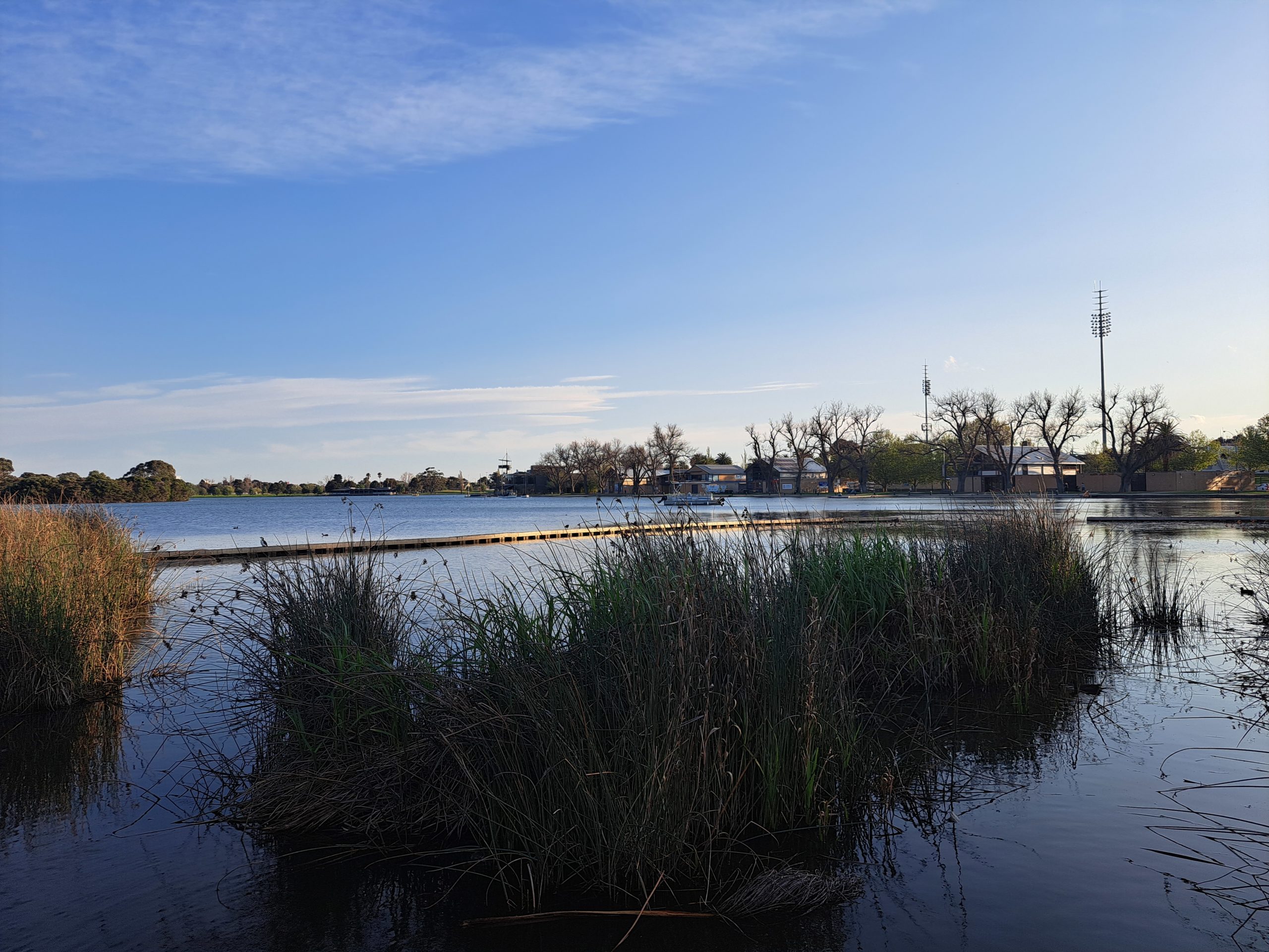
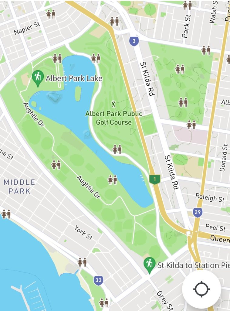
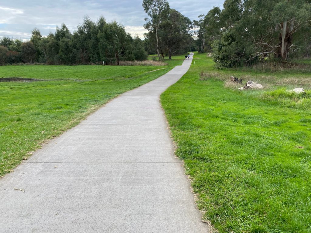
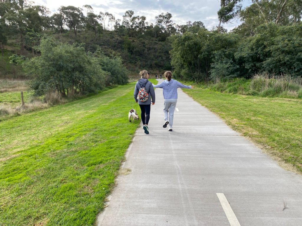
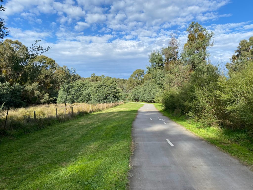
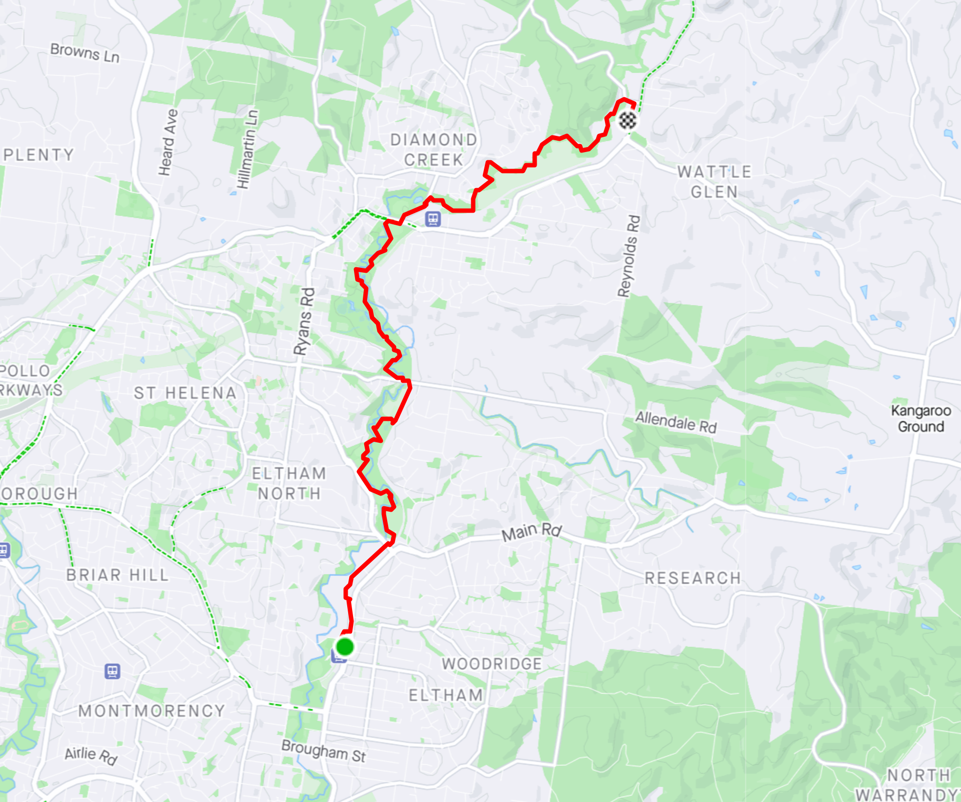
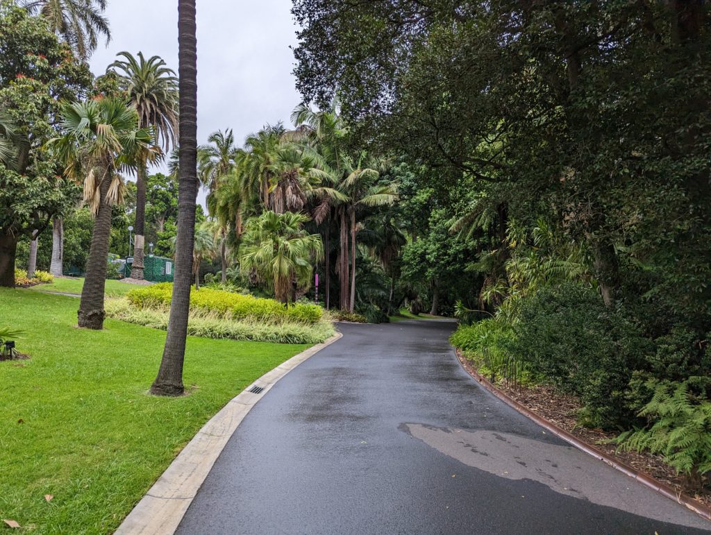
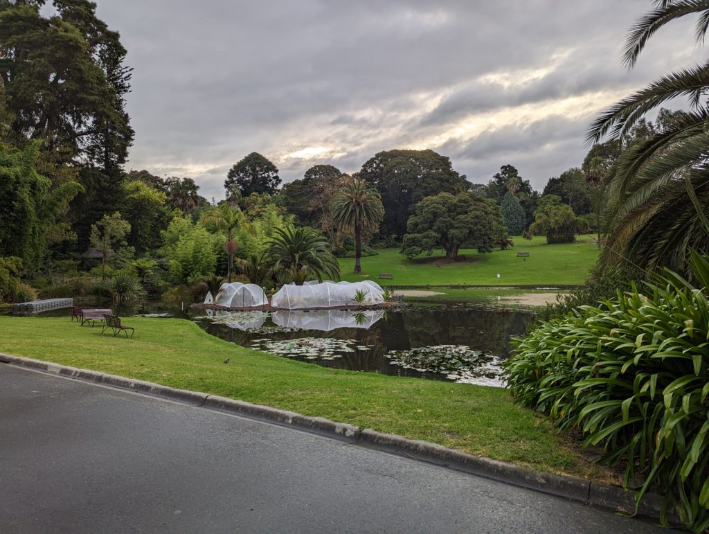
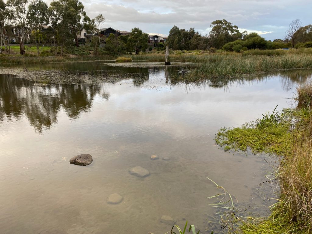
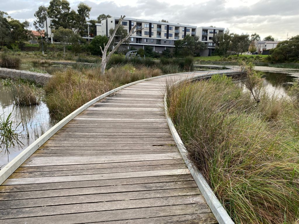
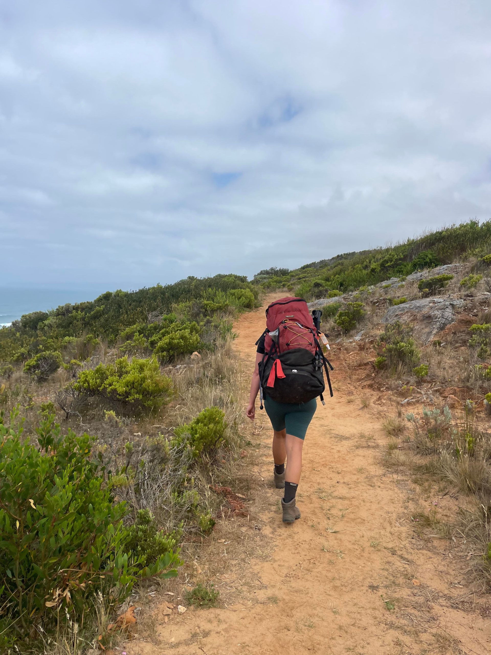
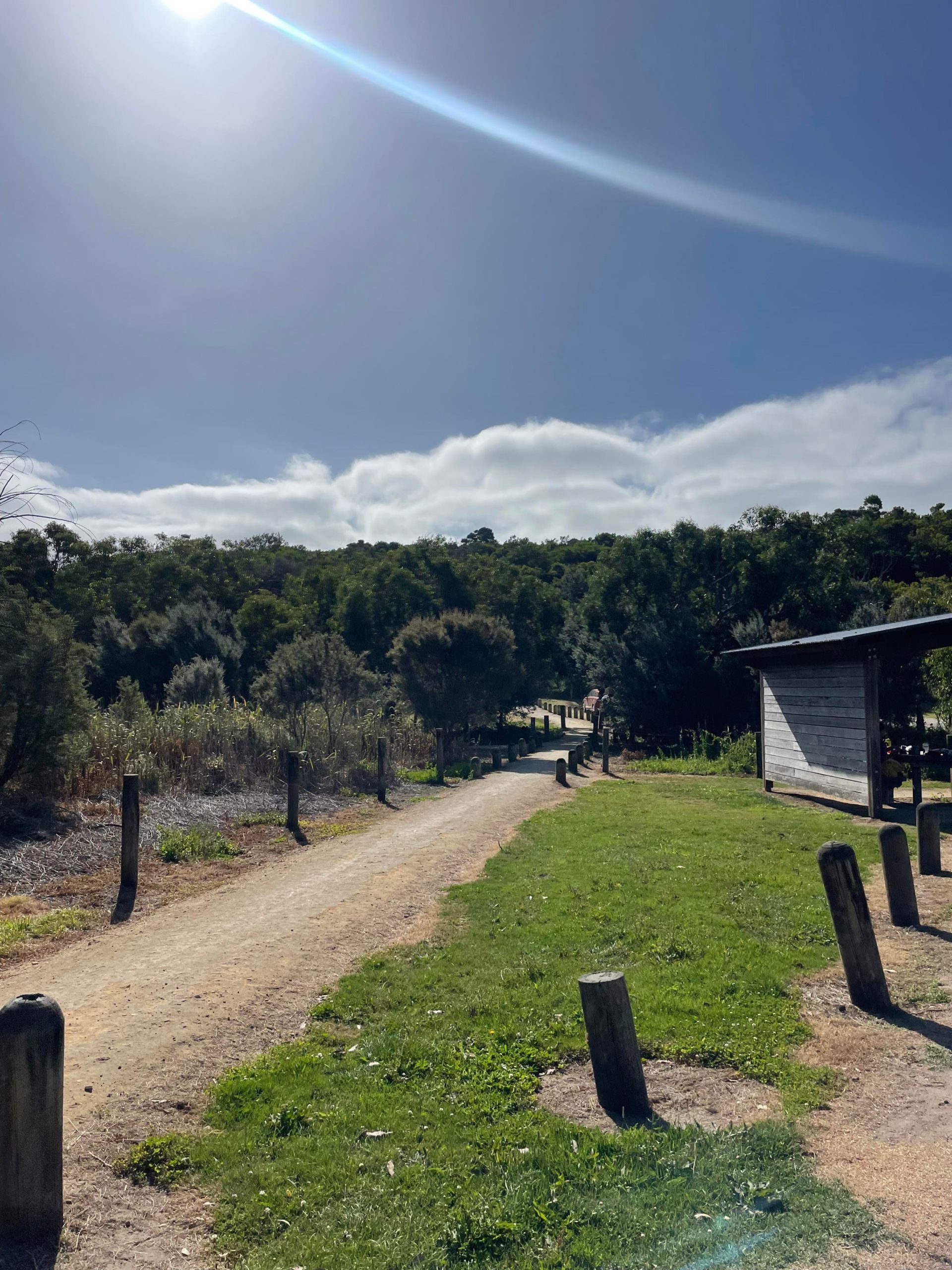
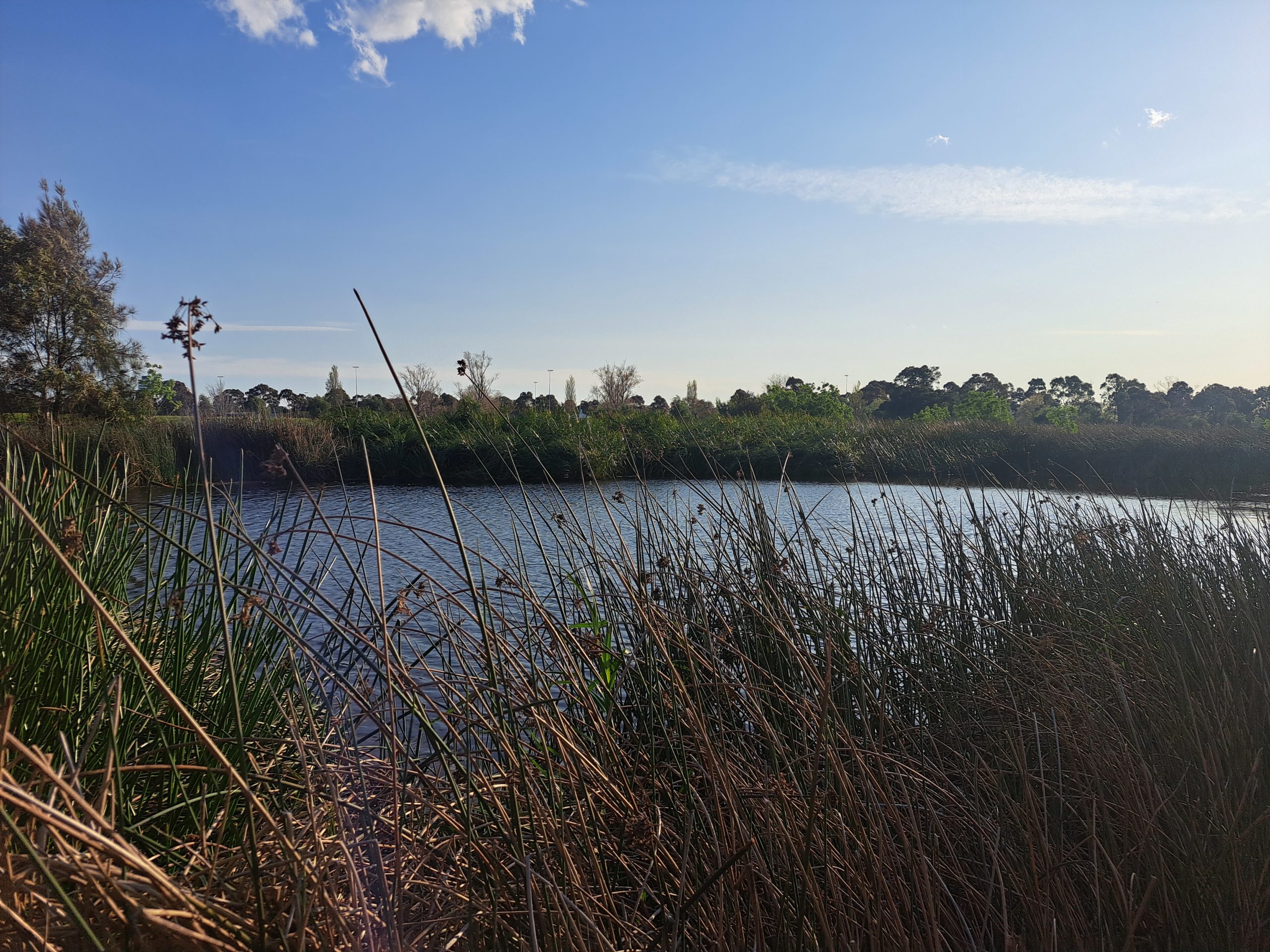
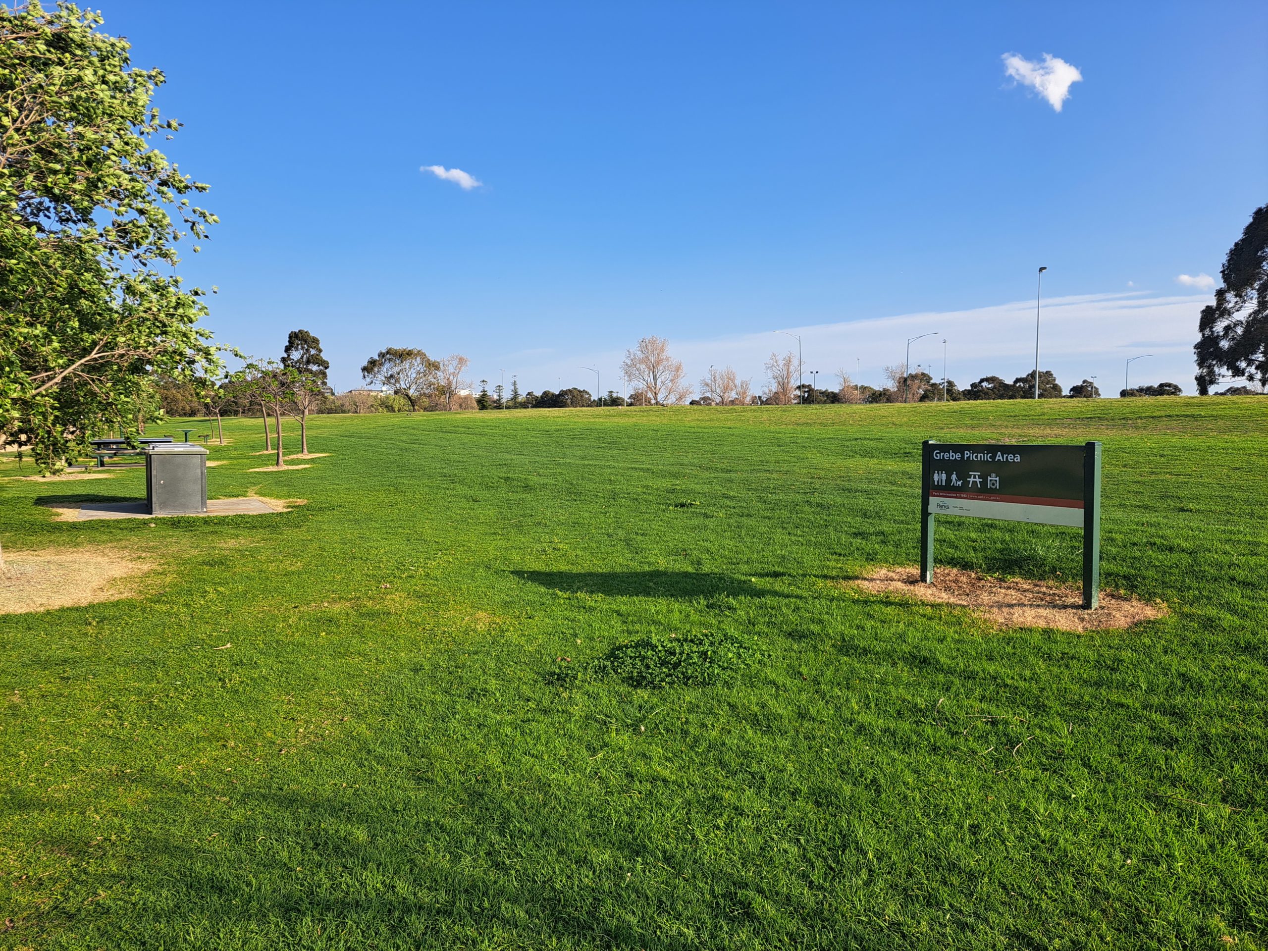
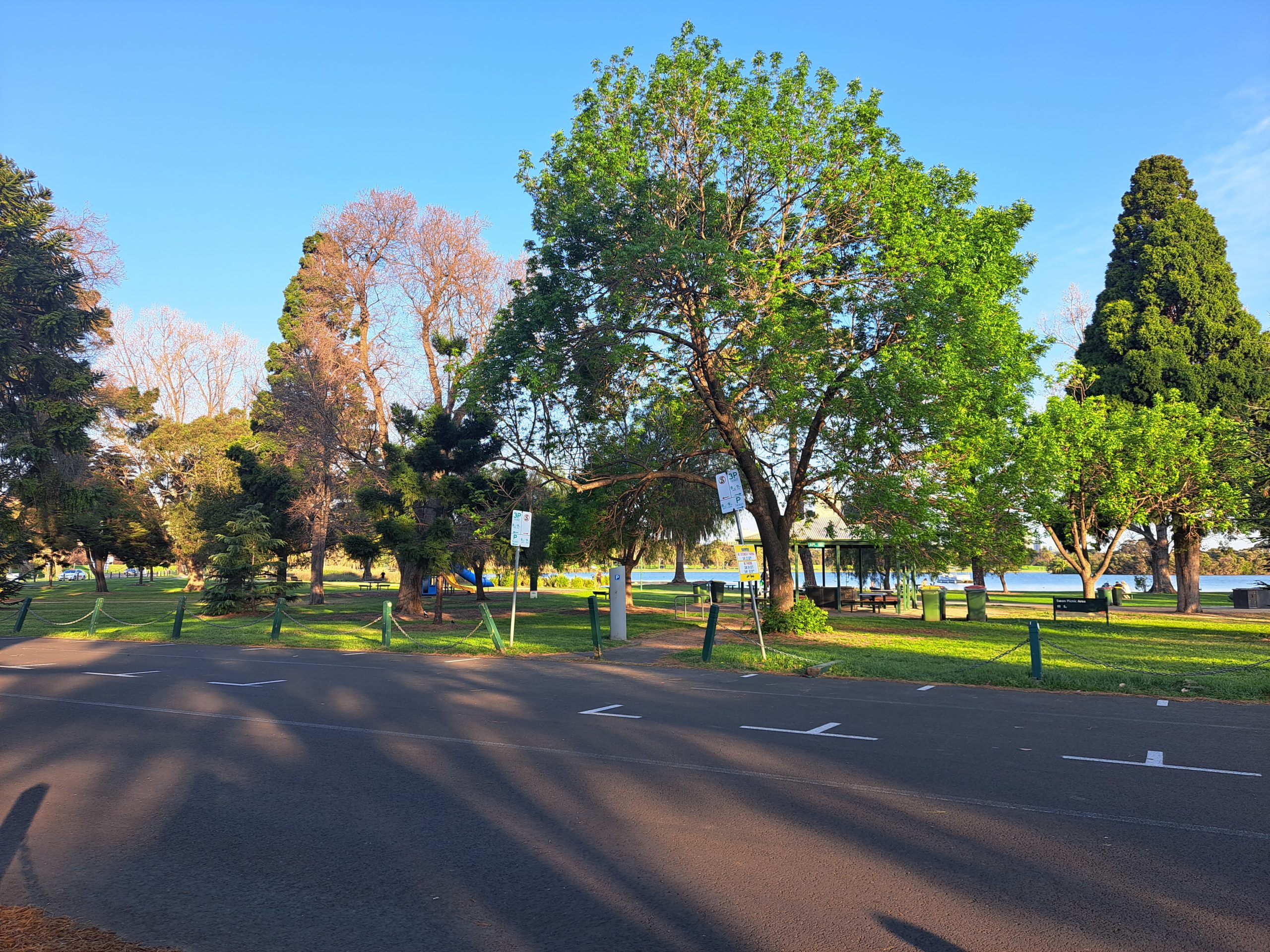
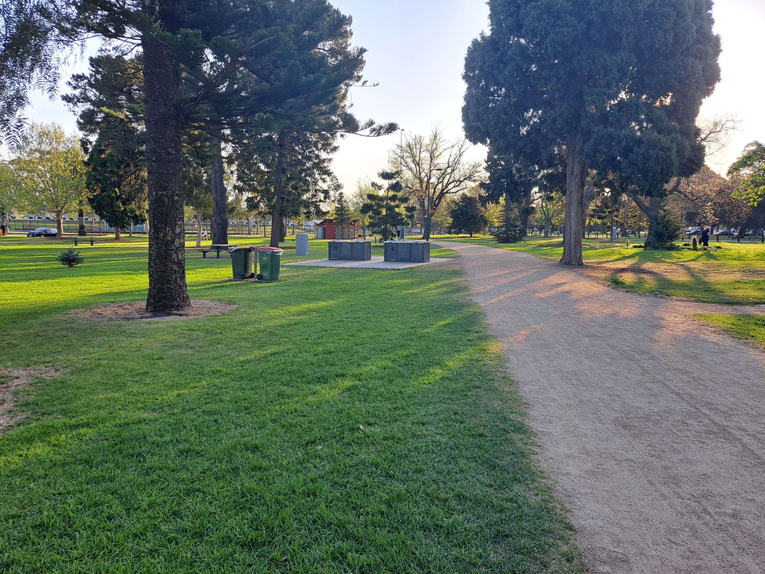
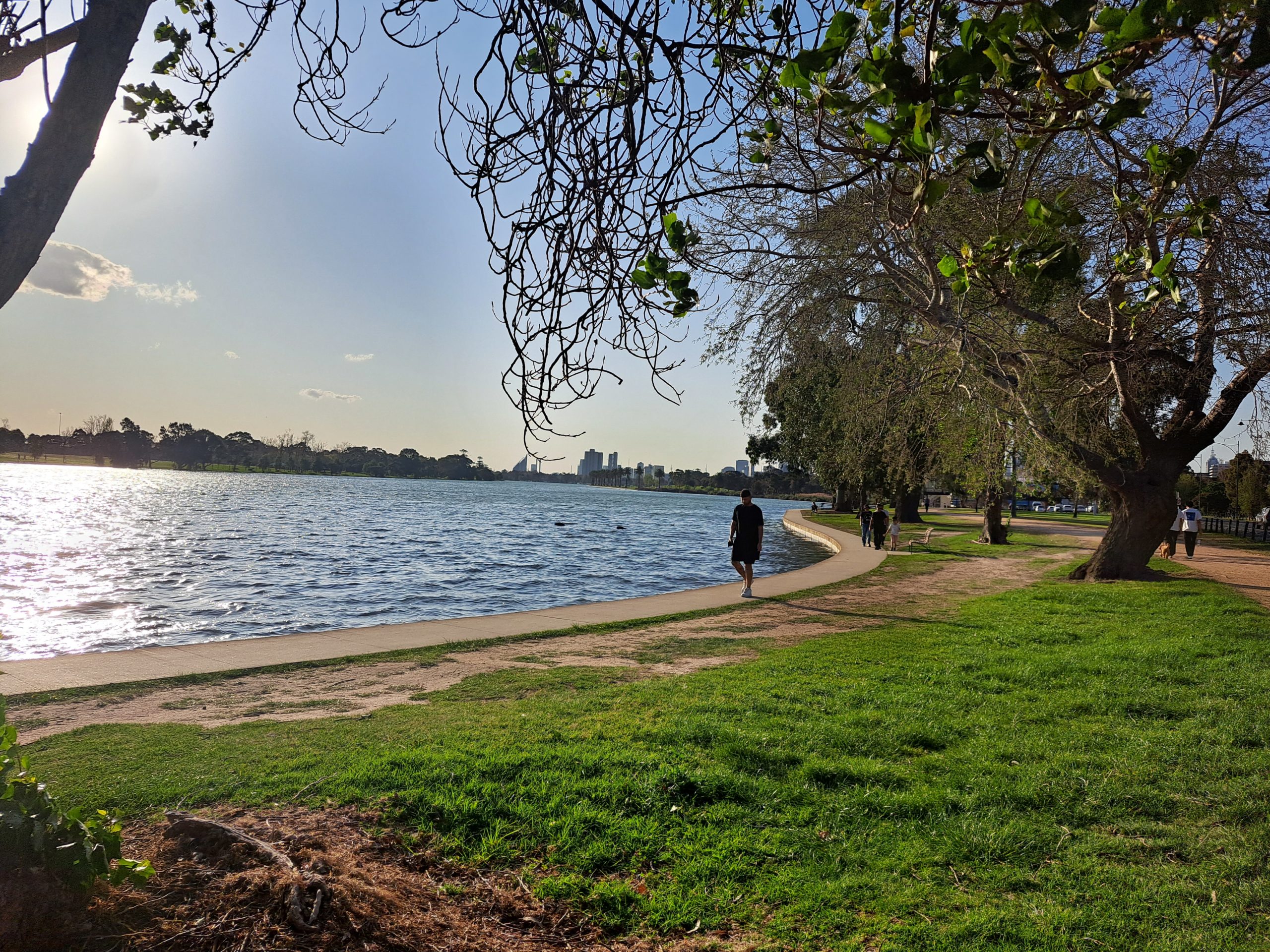
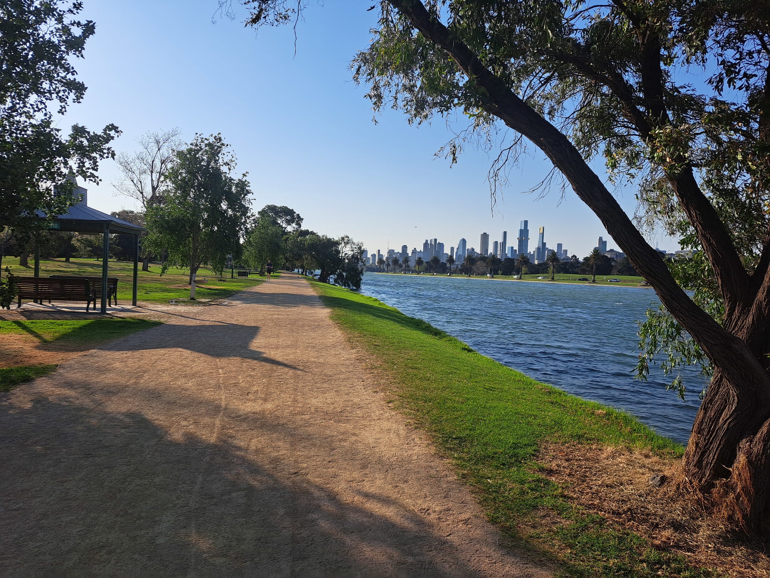
Today we get to enjoy a man made lake full of various bird life, fish and native plants. The trail is super gentle for all abilities and is a great option if you want to measure how far your walking, running or cycling in a controlled environment. We began at the carpark to the north of the lake. Beware it is paid parking unfortunately, we paid $5.56 for an hour and ten minutes. There is a nice picnic area which includes bbqs and toilets here. We walked anti clockwise around the lake first passing a lot of yacht clubs and docks where you can fish. The lake is very reedy so you would want to choose your fishing spot with care but it is stocked with trout and golden perch. There are many trees along the path on the western side of the Lake. Majority native and mature, it’s worth taking your time in this section to take in the beauty. There is also another picnic area here called Grebe Picnic Area, this would be more scenic than nearby the car park but has less facilities.
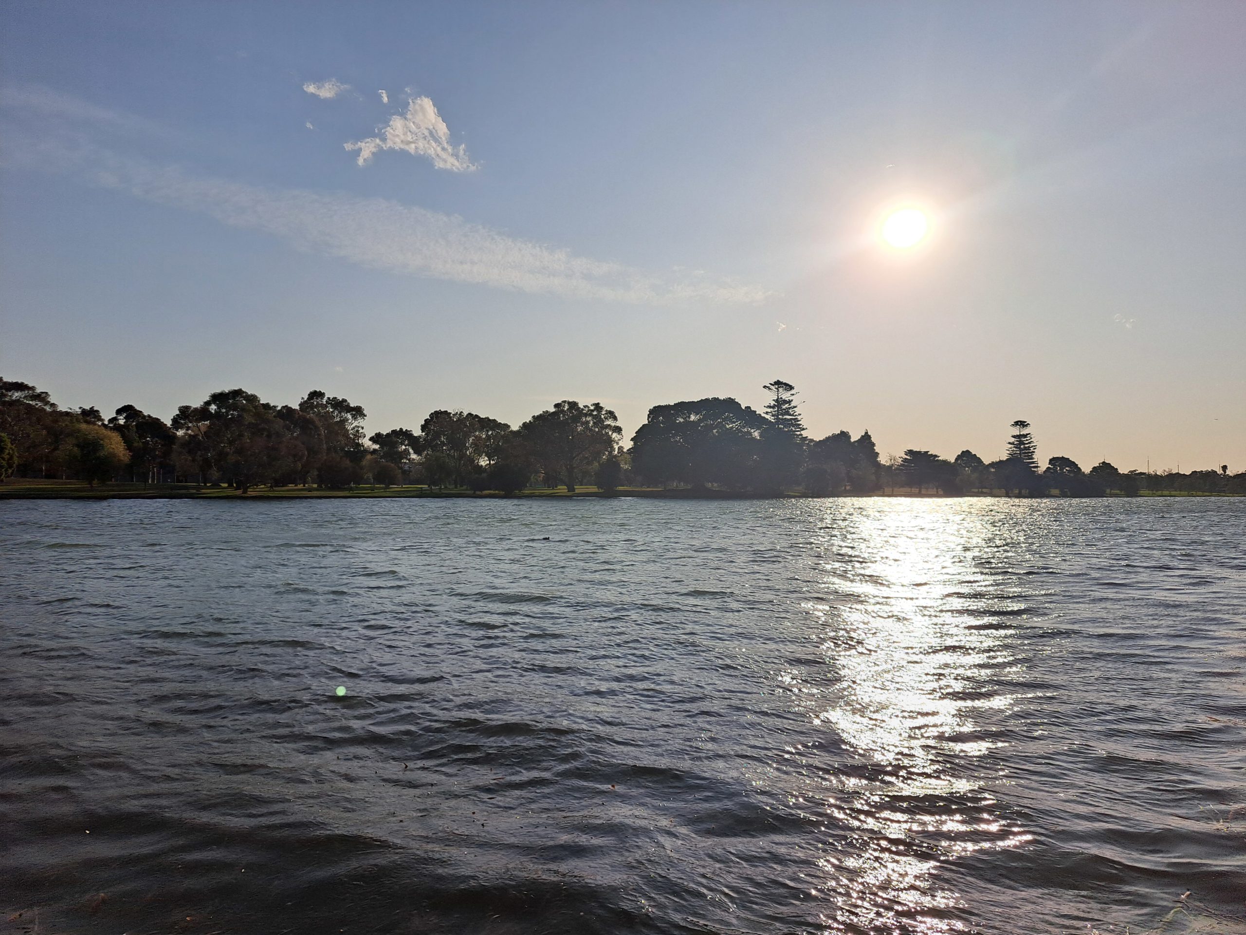
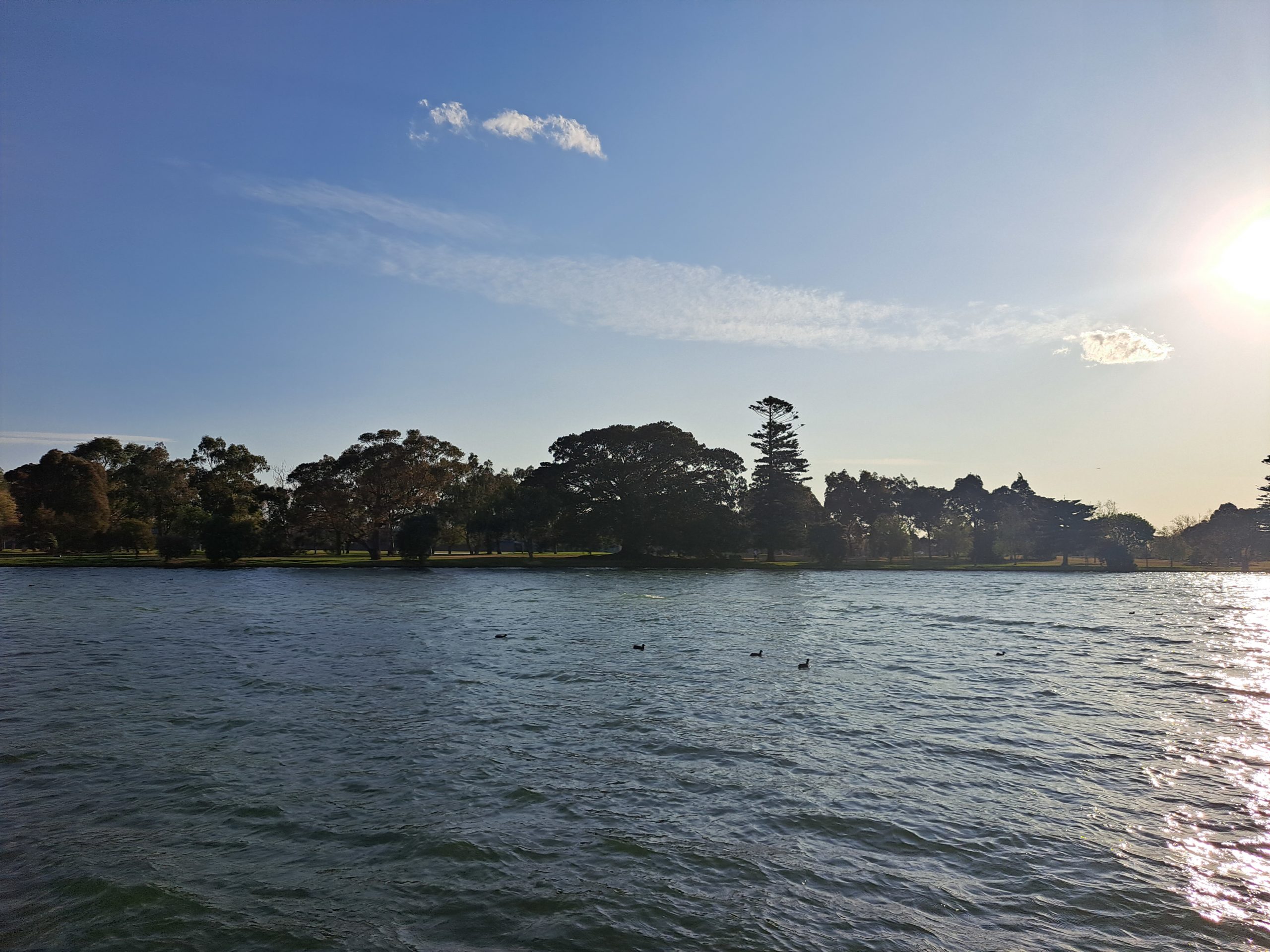
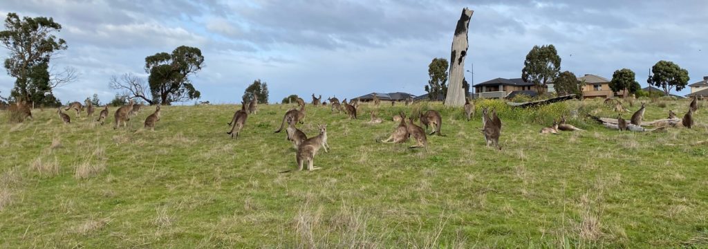
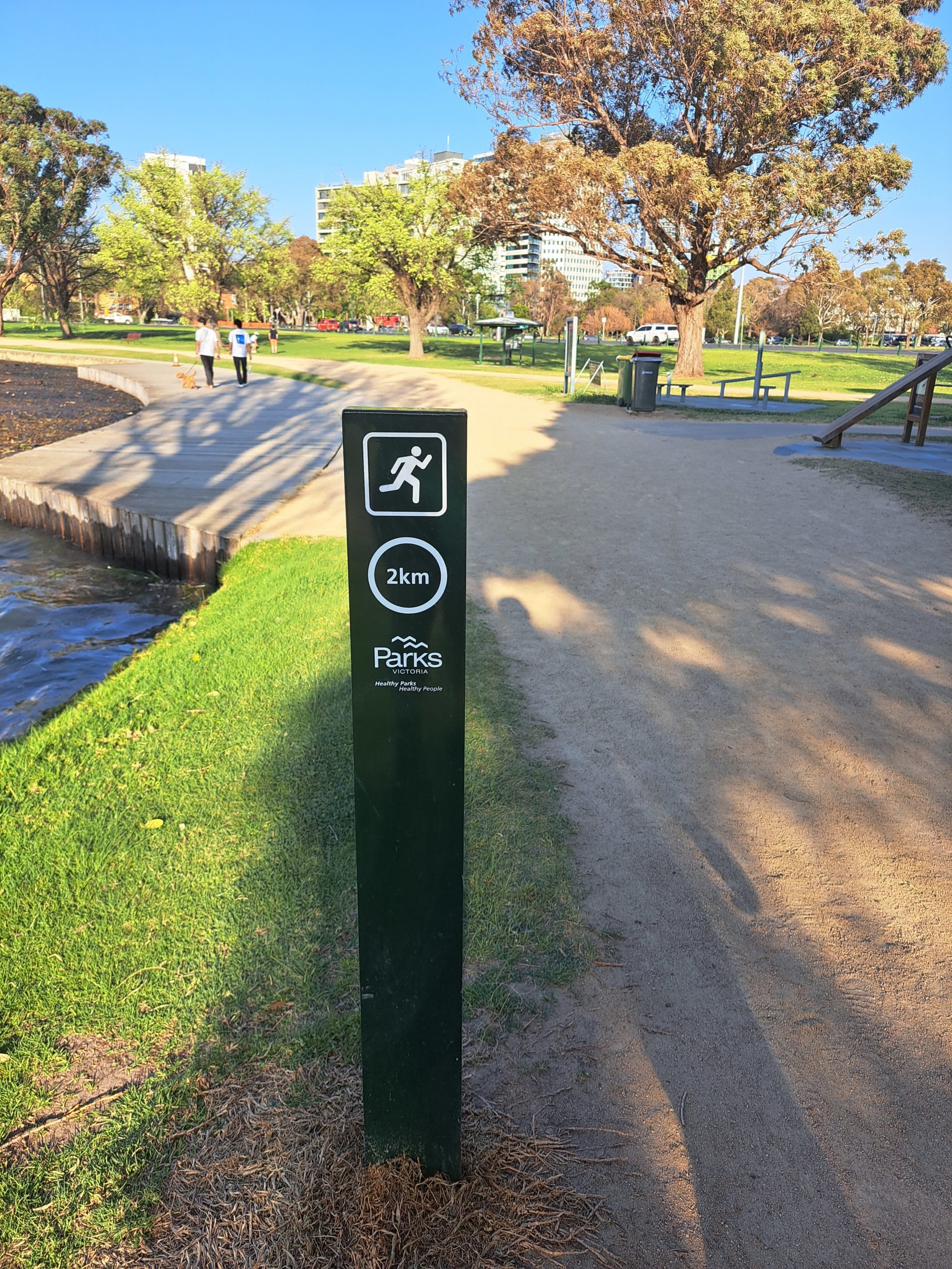
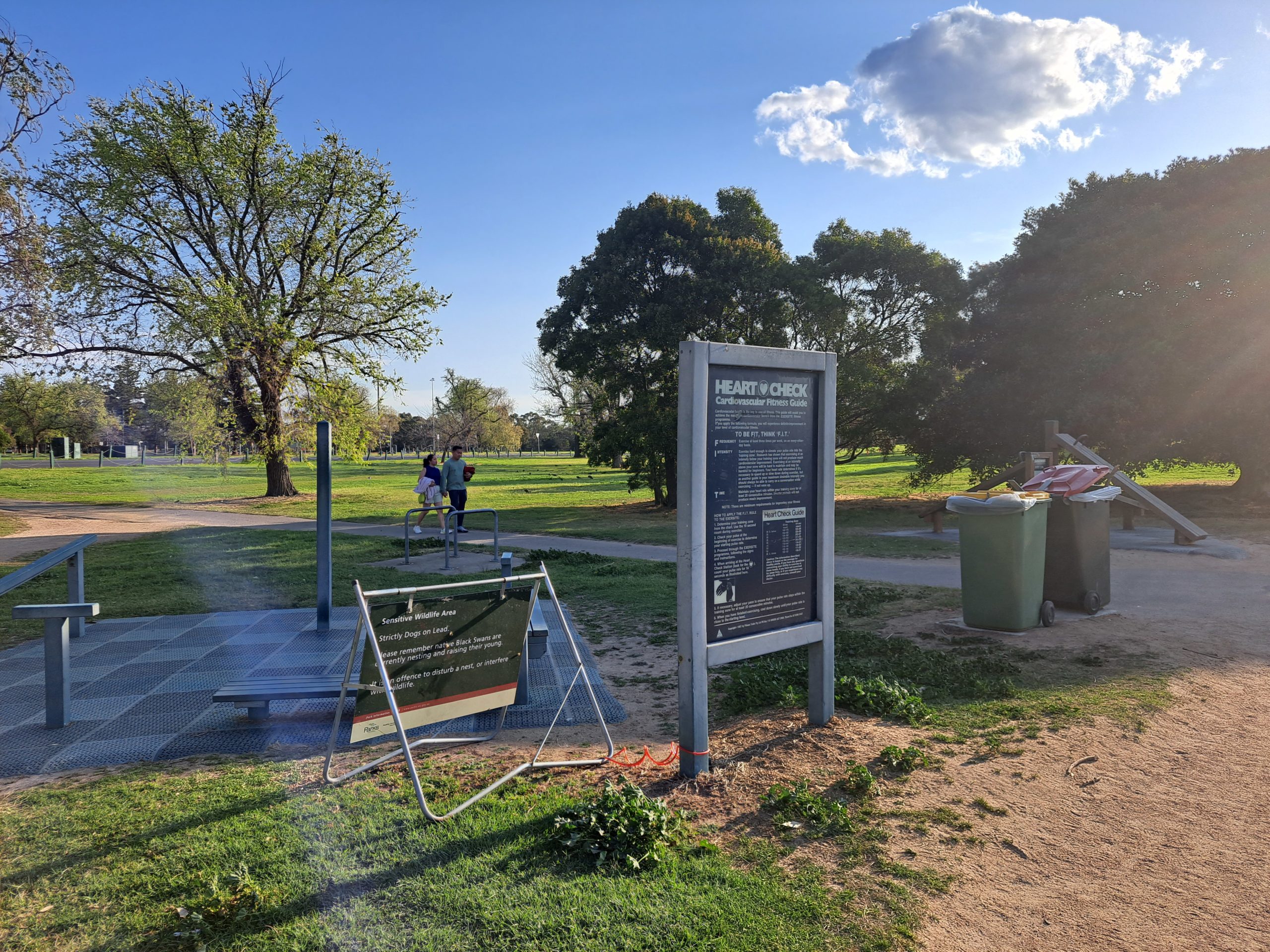
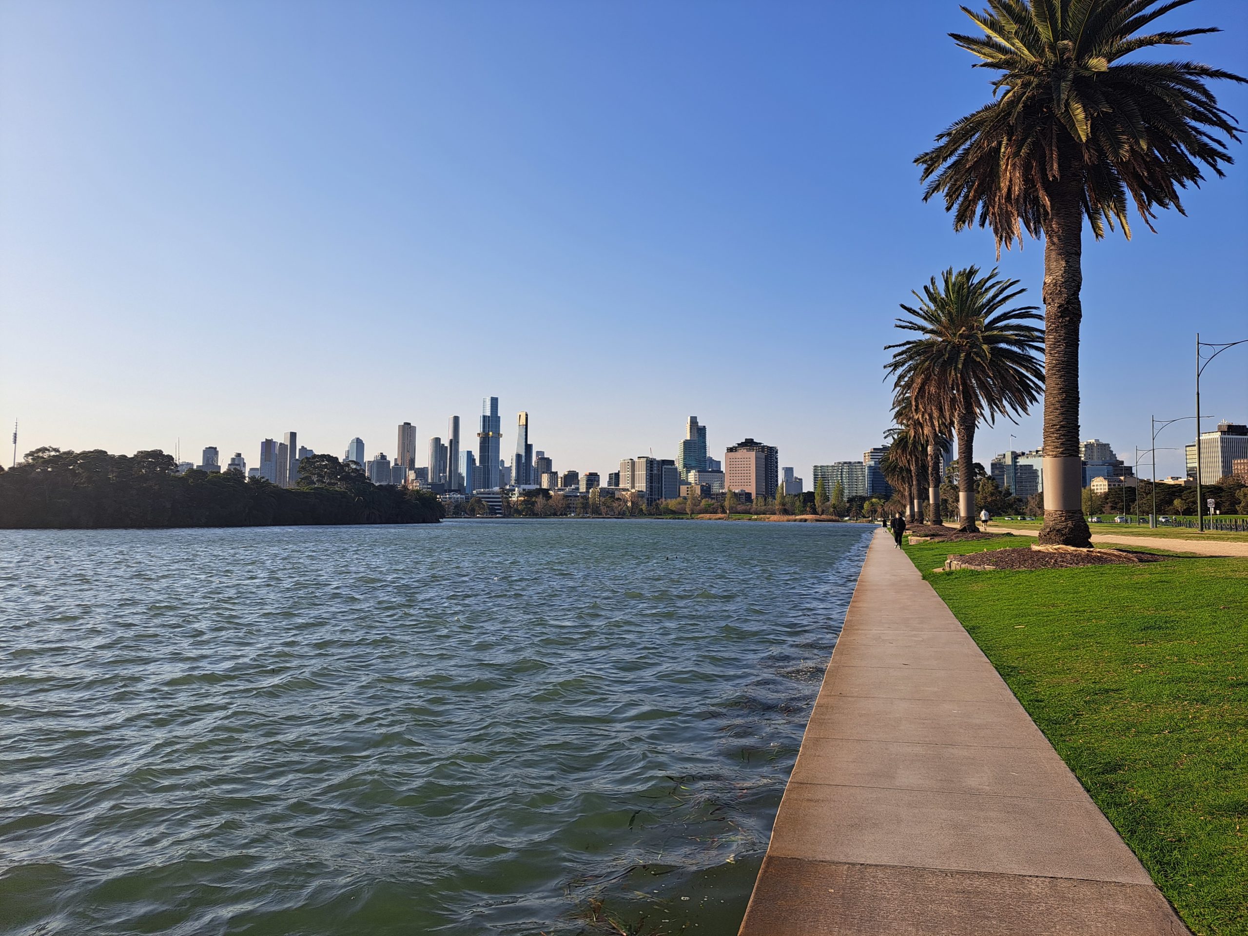
The southern section of the lake seems to be where all the broken reeds collect and most of the birds were feeding here. When we walked passed we were lucky to see a family of fluffy ducklings. This part has the best panoramic views of Melbourne’s skyline. There are also protected areas of the lake where no fishing is allowed, where there is much more vegetation to allow for birds and fish to breed and develop without being disturbed by the boats or fisherman. At this point of the lake there is also a workout zone setup by Parcourse. There is another workout zone midway the eastern side if you want to incorporate a body weight workout within your walk or run. To make it even more user friendly there are km markers all the way around the lake, this is ideal if your interval training or wanting to keep an eye on your distance travelled.
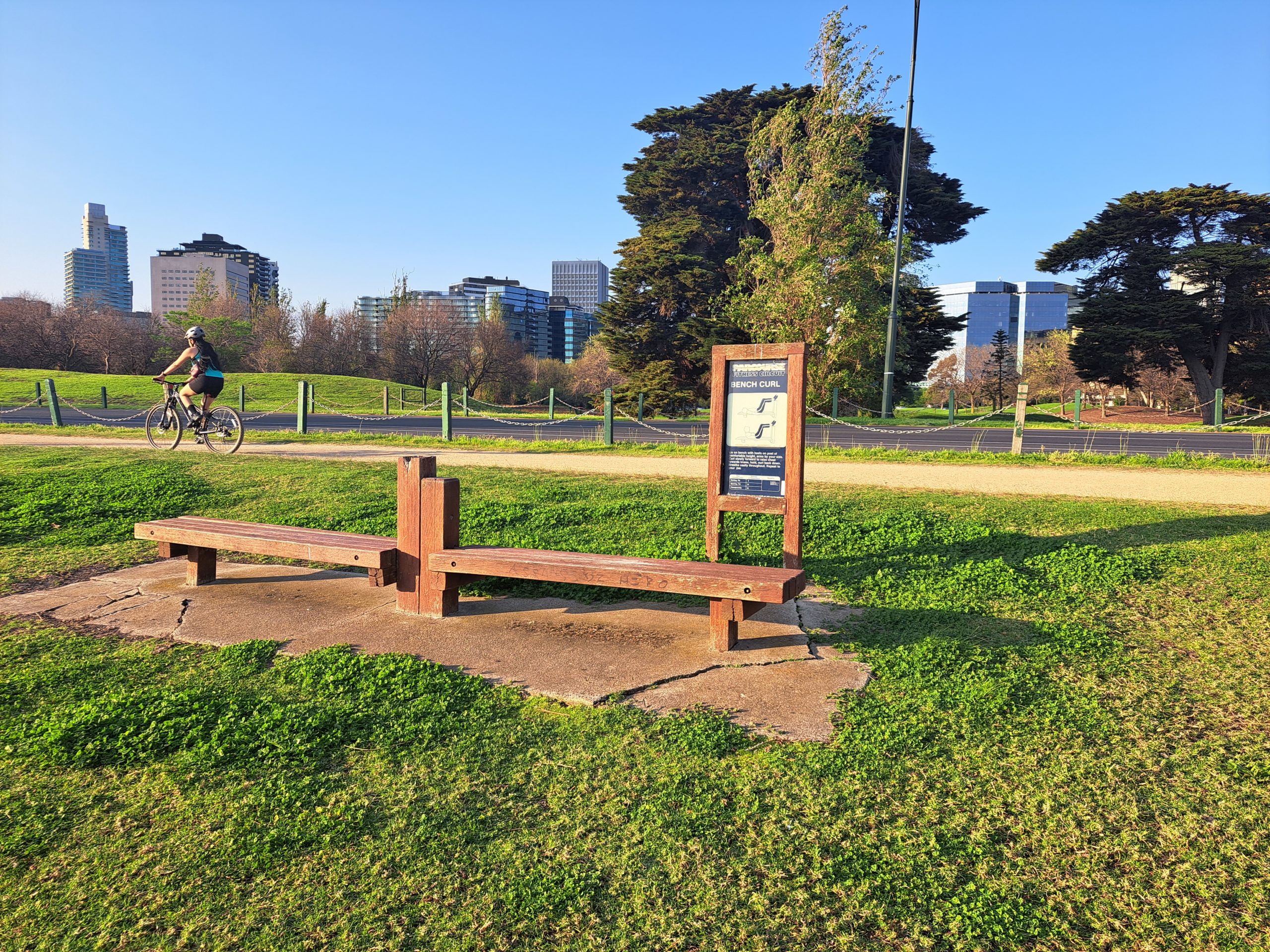
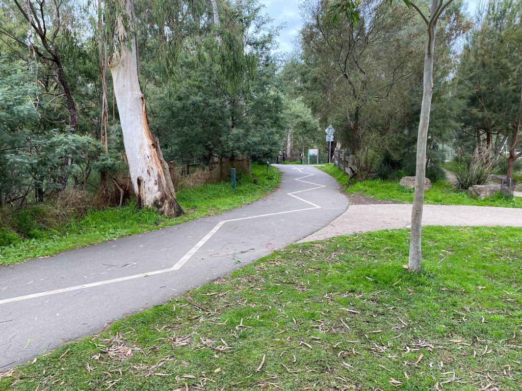
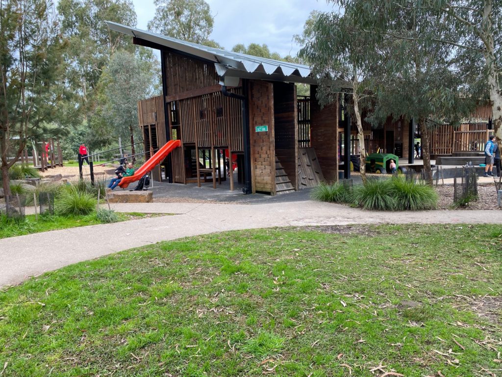
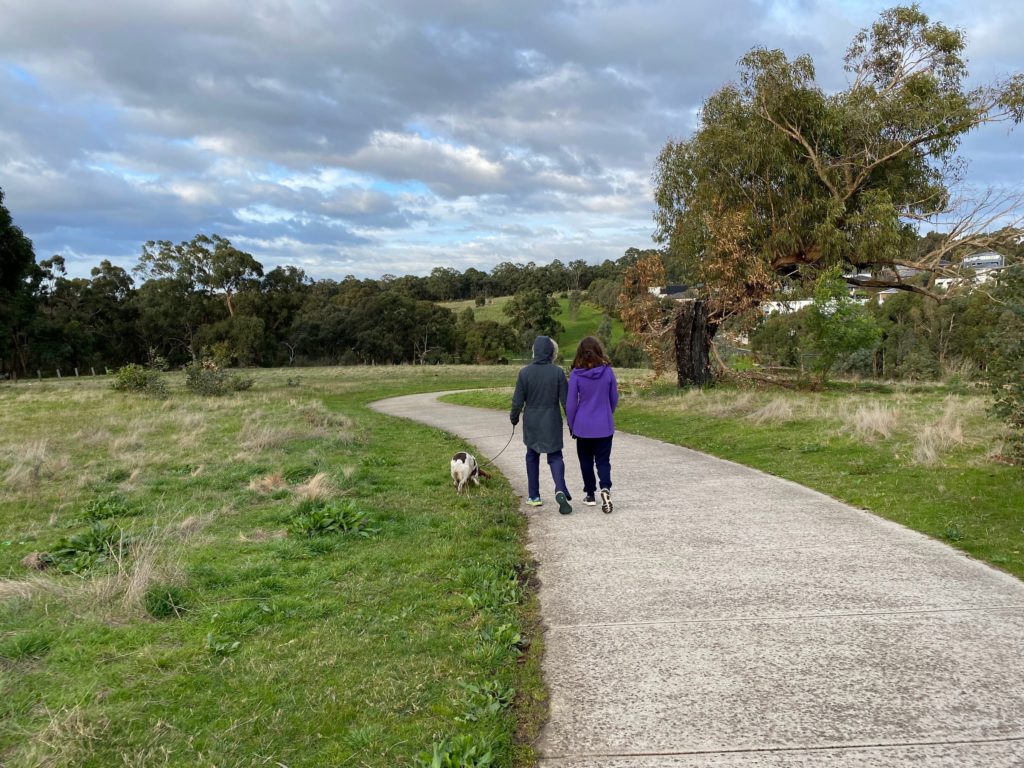
The eastern section of the trail has less trees and is more open. It is also closer to the road which is used by cars and cyclists, luckily there is a 40km speed limit here. There is also a golf course across the road which features a mini golf course. For your walk around the lake you have two choices of trail either the narrow concrete path directly beside the lake which is great for walkers. Or the accessible sandy trail appropriate for wheelchairs, prams, walkers, runners and cyclists. We covered 5km walking from our car to the lake, anticlockwise around the lake and then back to our car. There are other paths, sport facilities (swimming pool, netball courts etc.) and ovals to explore with many offering toilets and picnic facilities to choose from within Albert Park. I would highly recommend this day trip if your wanting a controlled environment for exercise and to enjoy immersing yourself in nature.
| Trail Name | Albert Park Lake Path |
| Distance | 5km |
| Estimated Time | 1hrs |
| Grade | 1 |
| Type | Circuit |
| Park | Albert Park |
| Access | 2WD |