In the heart of Victoria lies a hidden gem, quite literally, known as the Emerald to Cockatoo Rail Trail. It’s not just a hike, it’s a time machine that transports you to an era where steam trains chugged through the lush eastern Victorian landscape.
This 6-kilometer trail (and a 13km roundtrip), is brimming with history and natural beauty, beckons adventurers and history buffs alike to embark on a hike that’s unique in it’s charm.

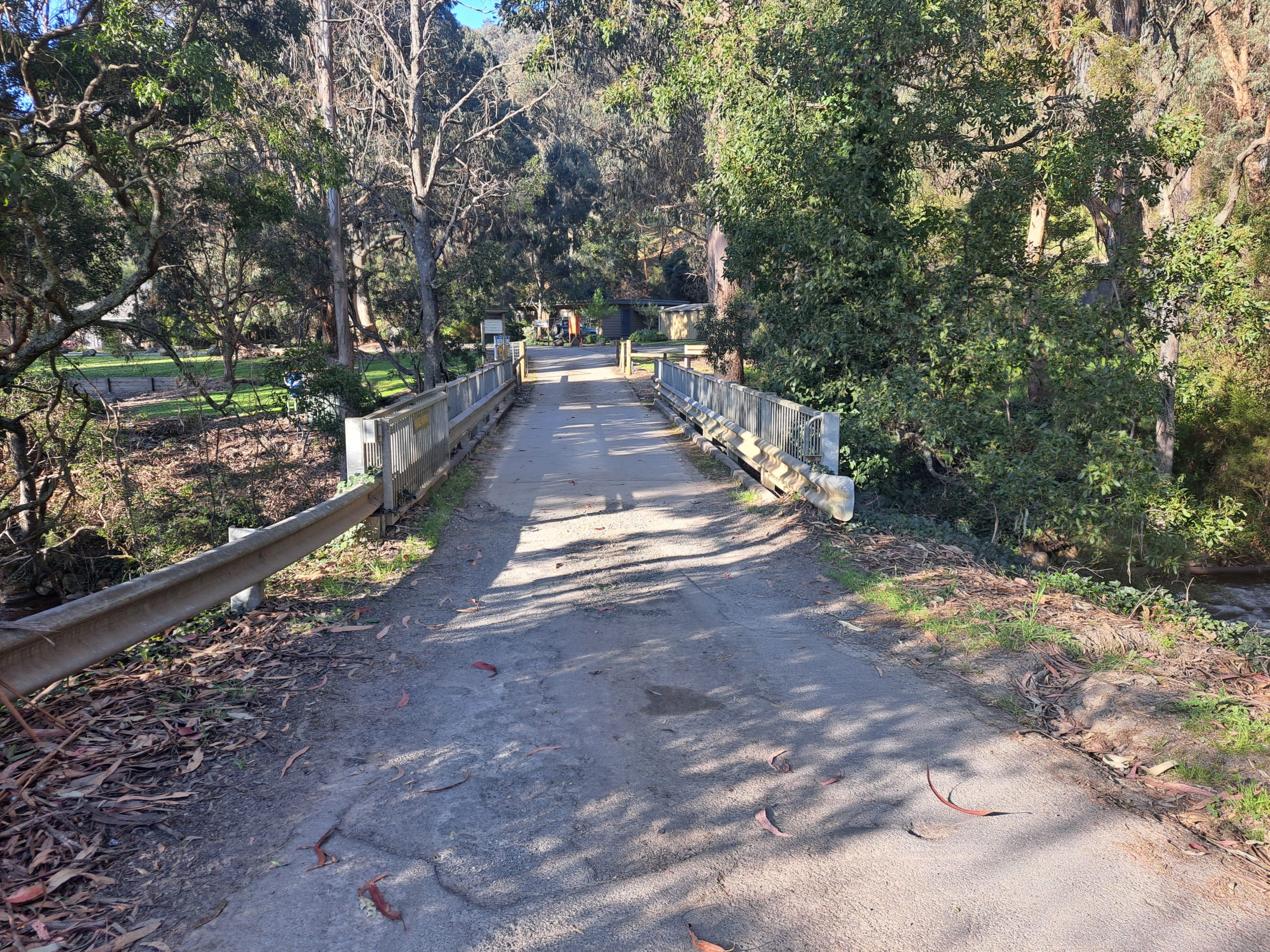
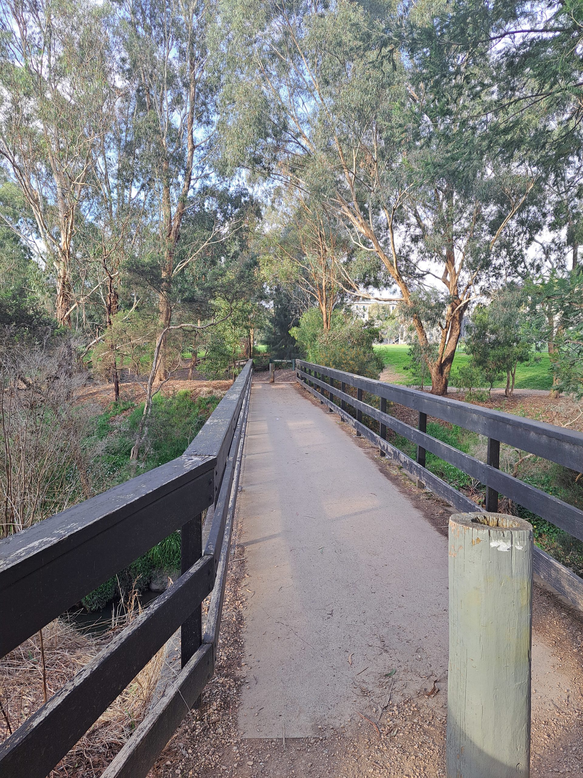
The trail follows the historic route of the Puffing Billy Railway, once a lifeline connecting the bustling towns of Emerald and Cockatoo. Today, it serves as a haven for walkers, cyclists, and nature enthusiasts seeking solace in the tranquillity of the countryside.
The personality of the Emerald to Cockatoo Rail Trail is one of nostalgia and charm. It’s as if the very essence of the steam era lingers in the air, urging you to slow down and savour each moment.

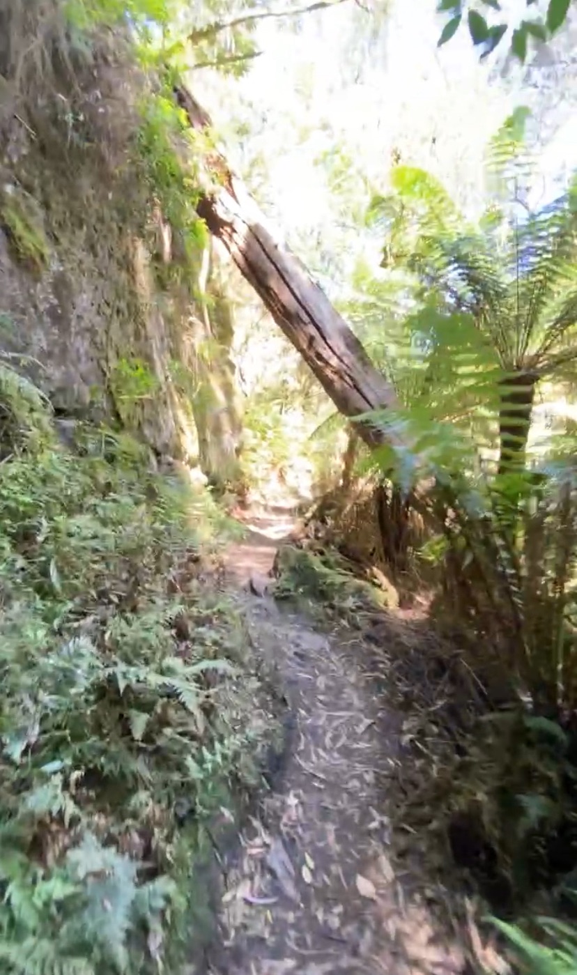
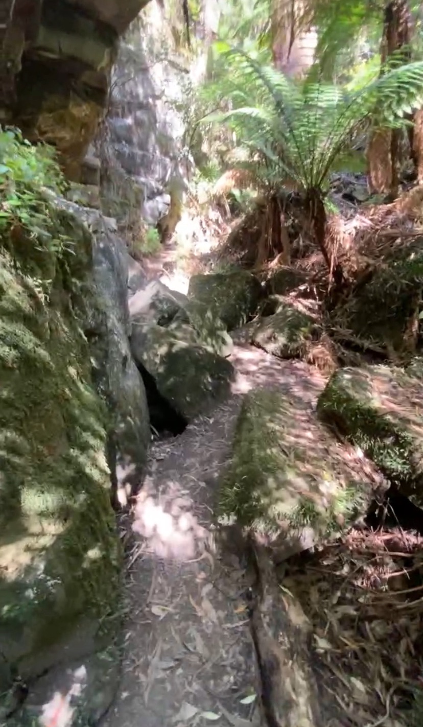
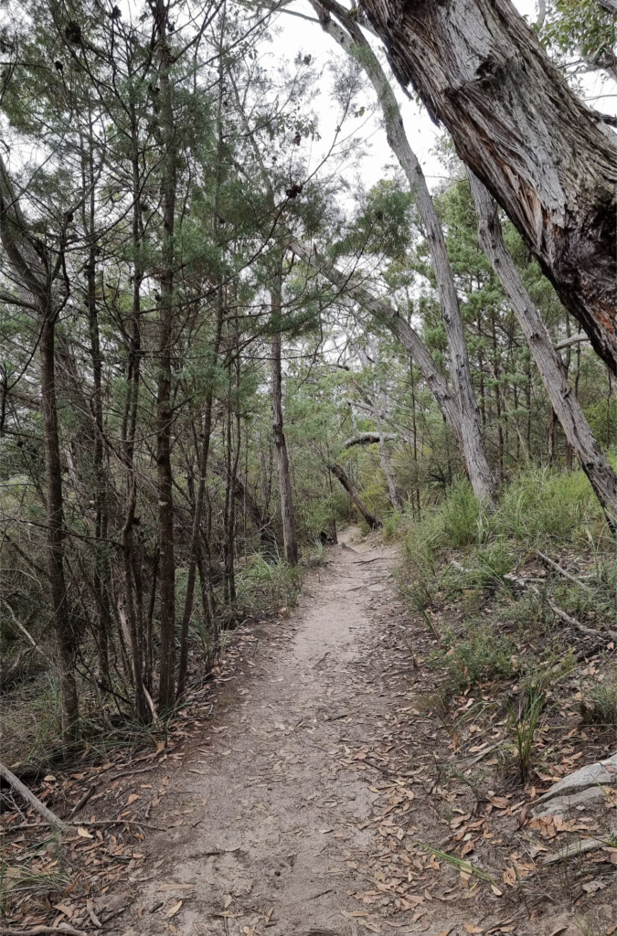
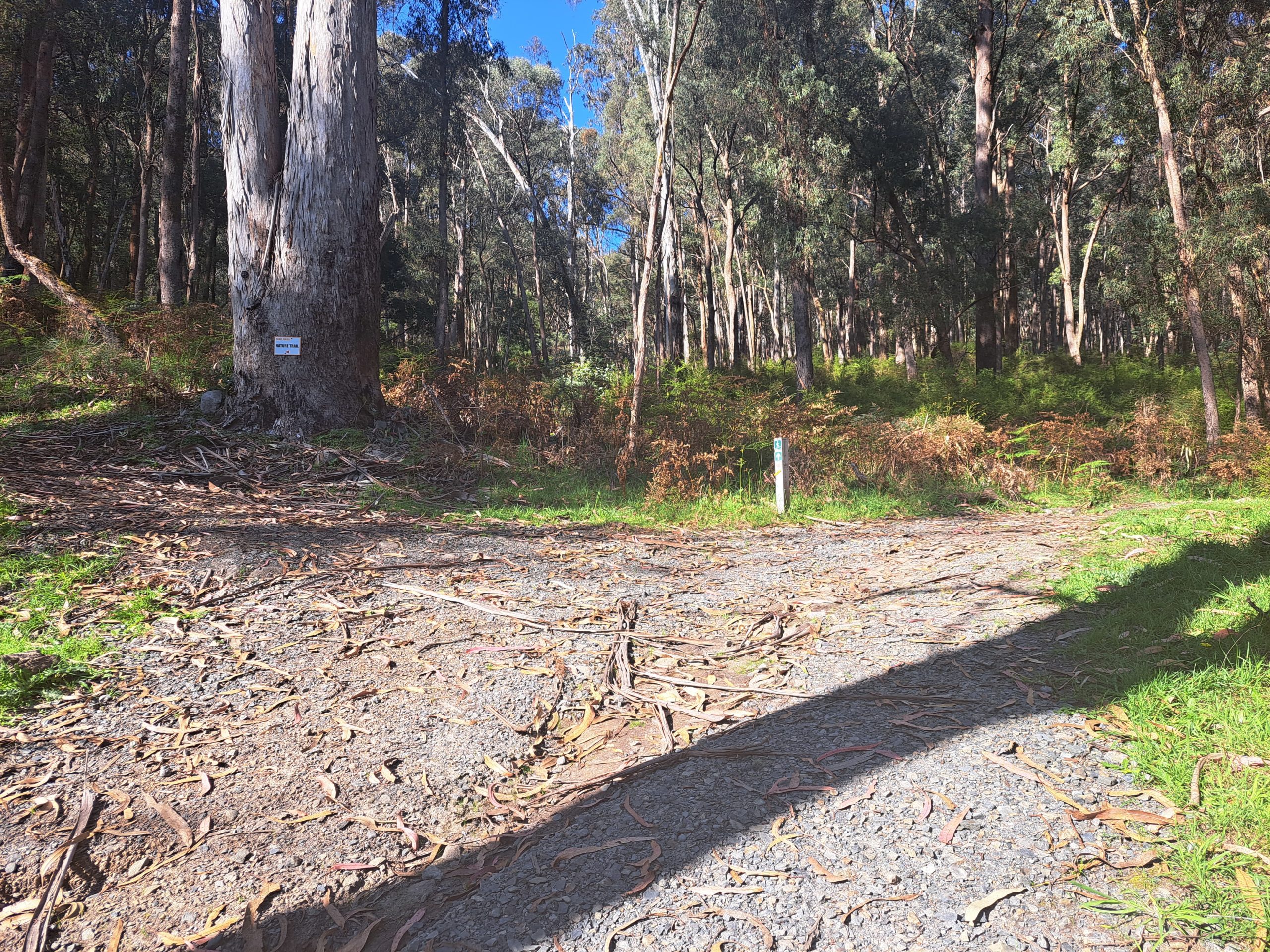
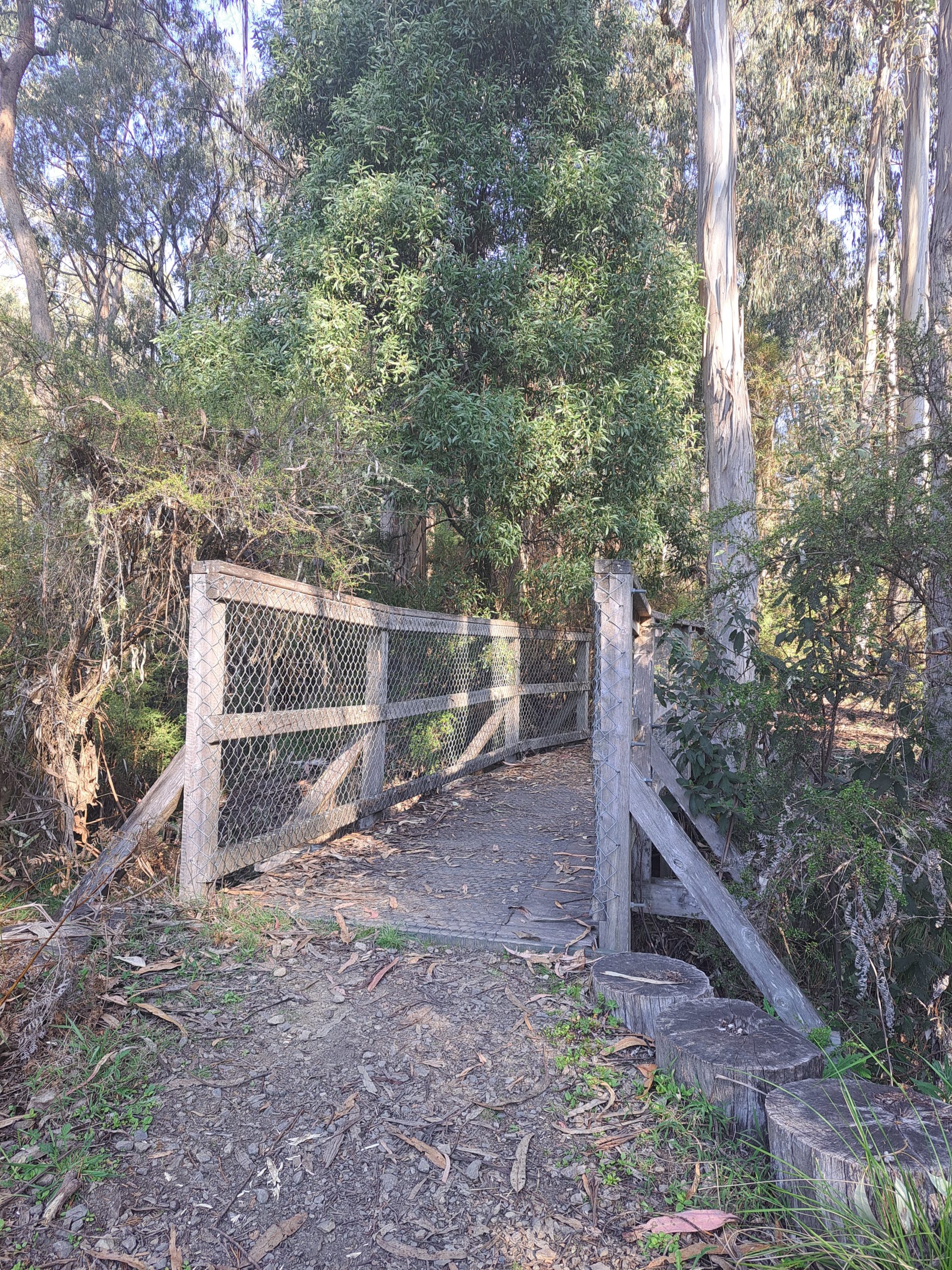
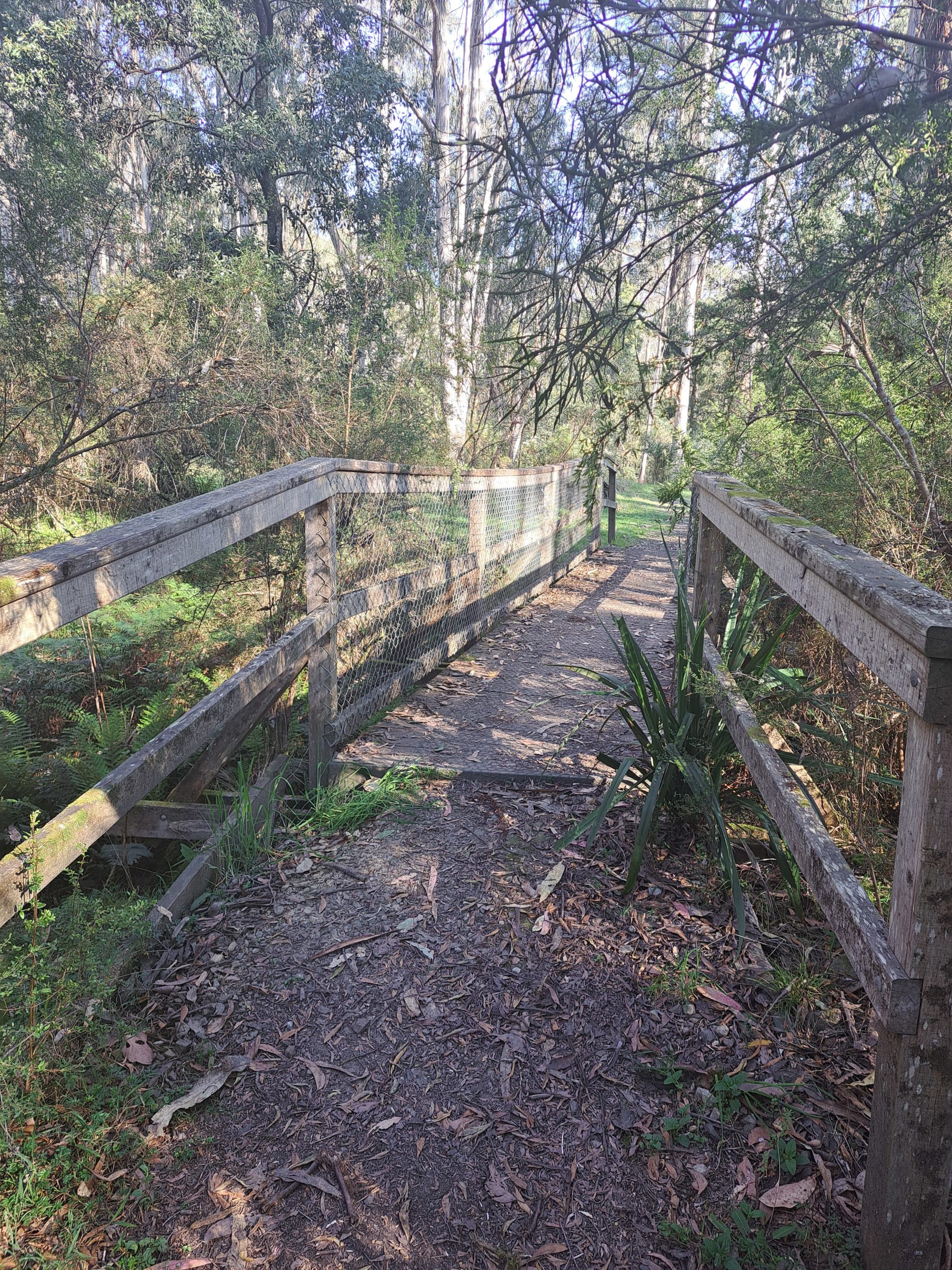
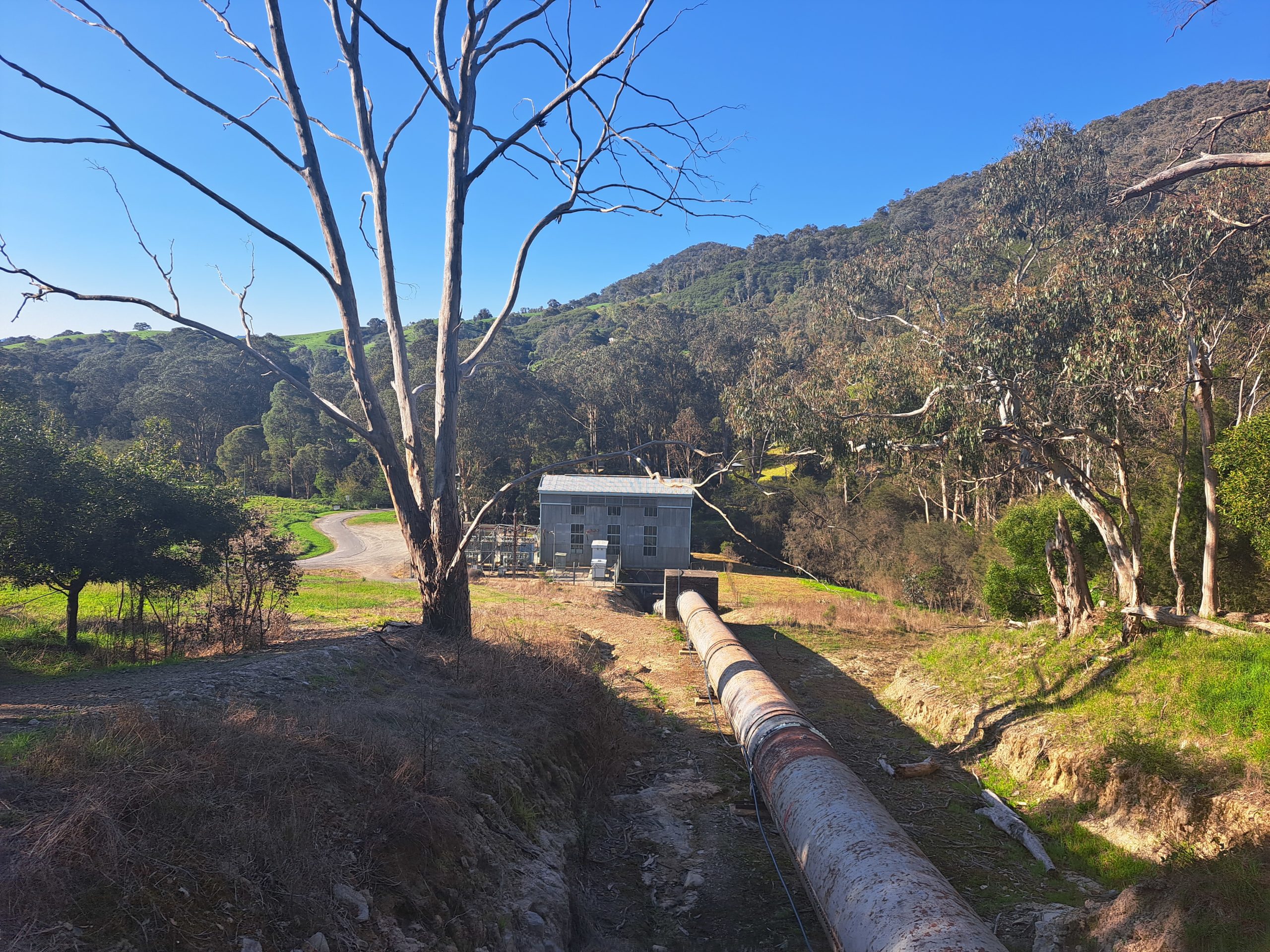
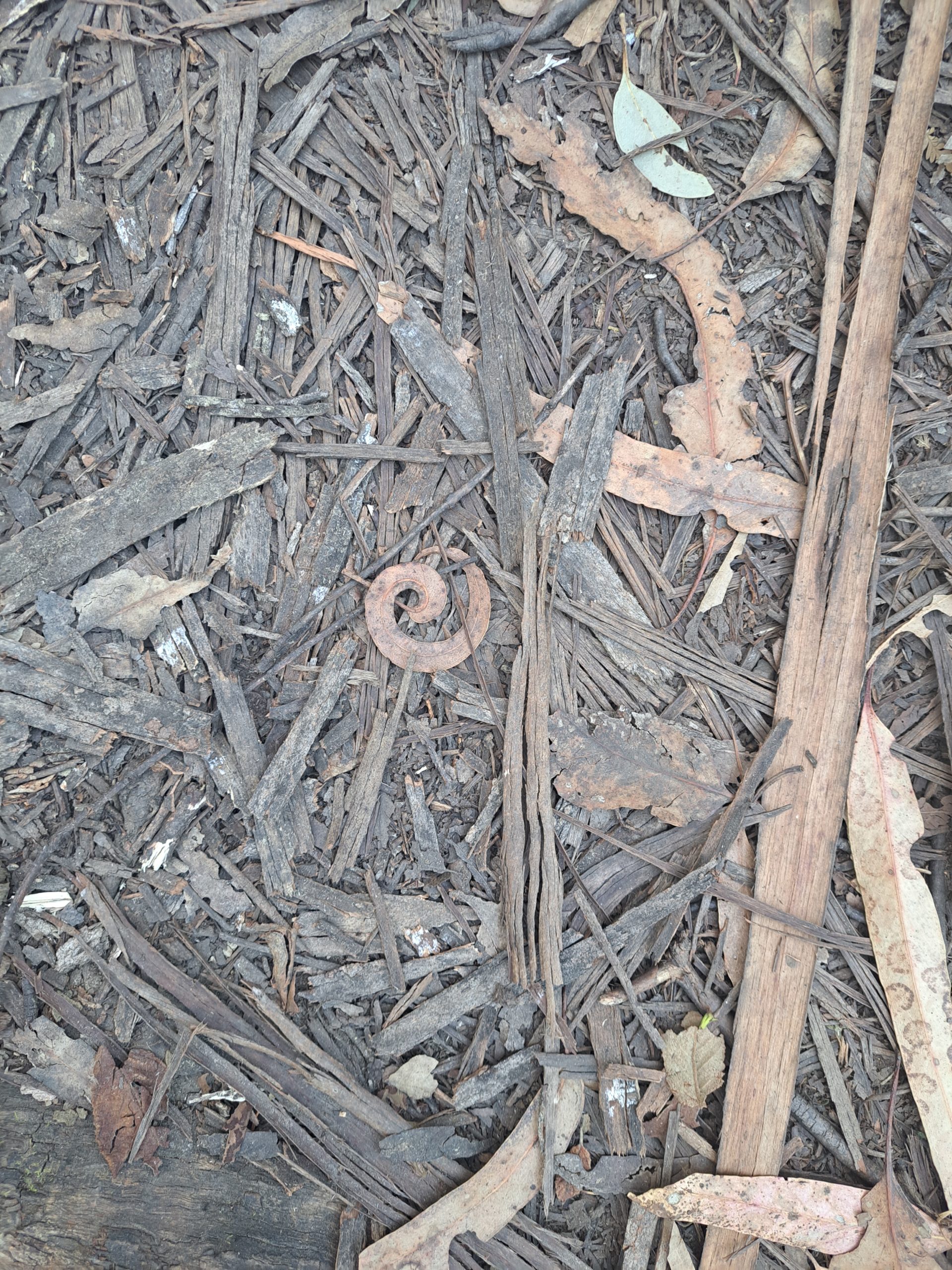
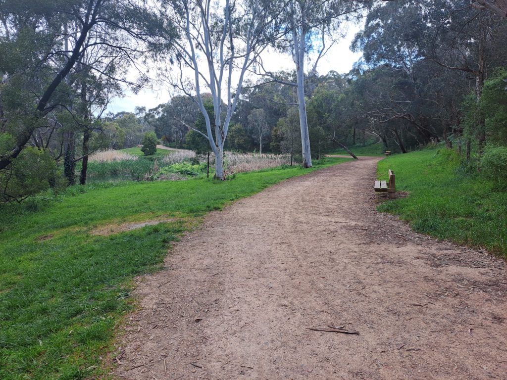
Along the way, weathered railway sleepers and remnants of old stations stand as silent witnesses to bygone days, offering glimpses into a world of yesteryears. But it’s not just about the past; the trail also boasts breathtaking natural beauty that captivates the senses.
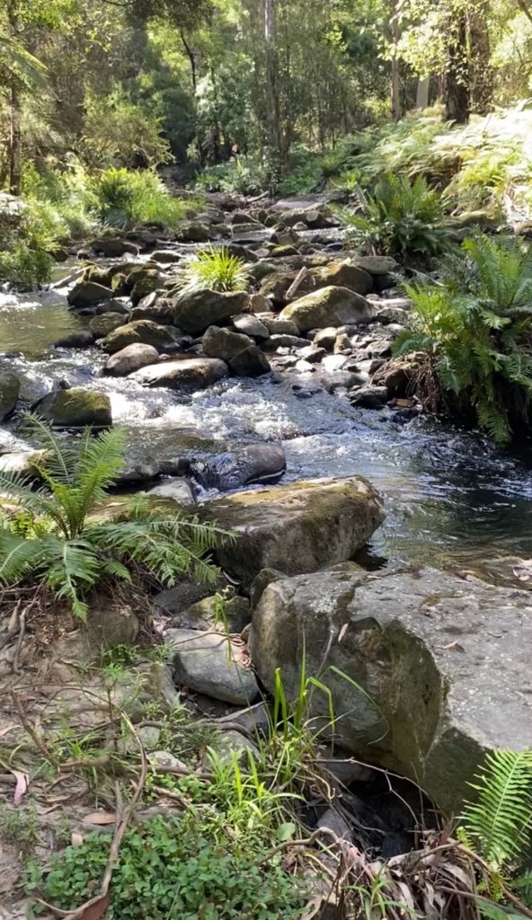
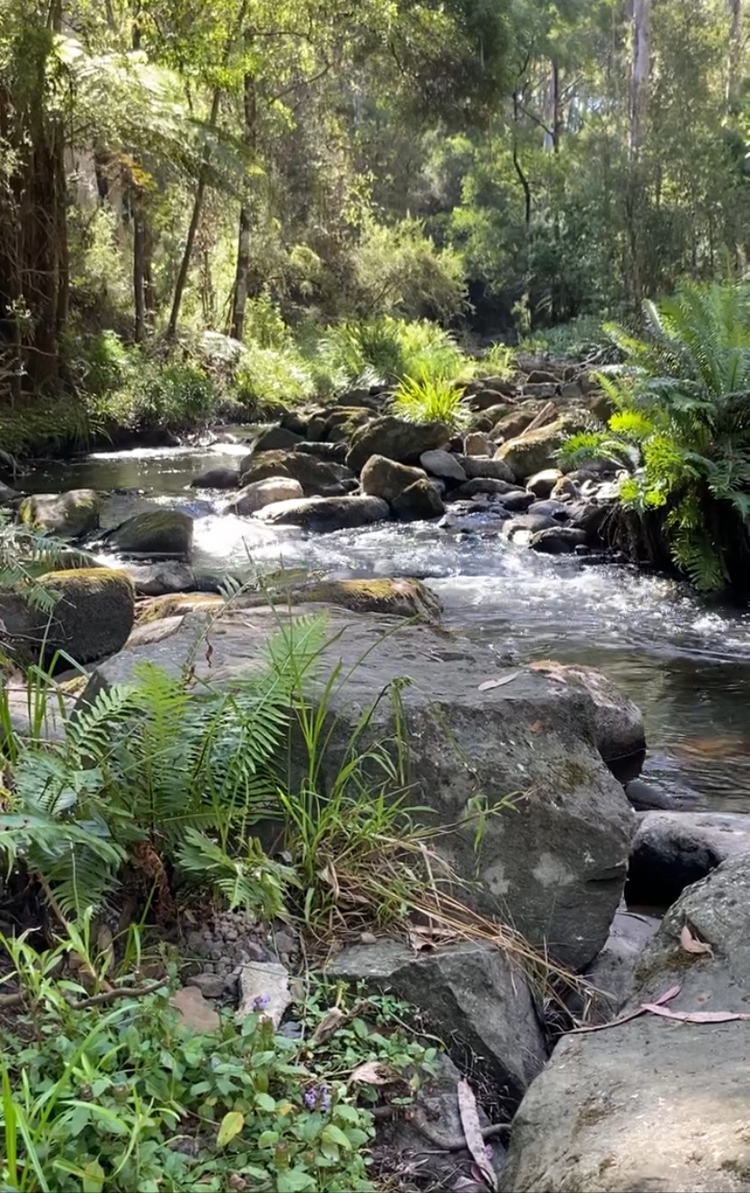
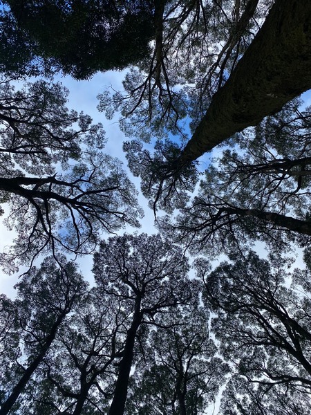
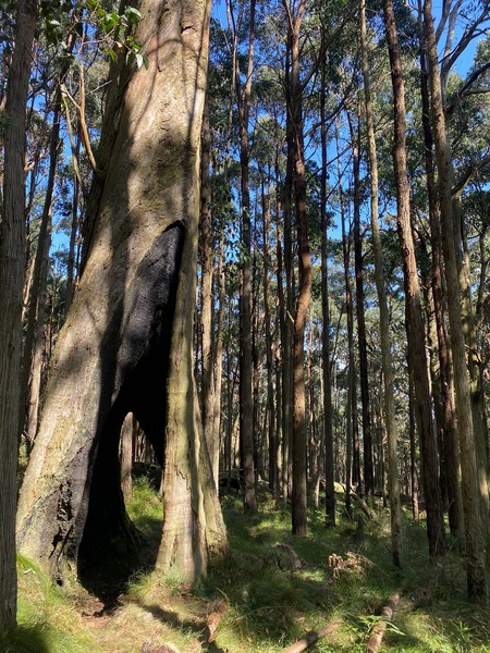
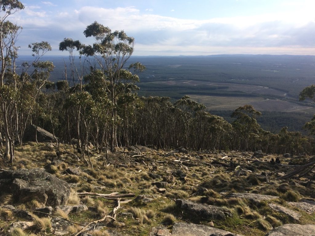
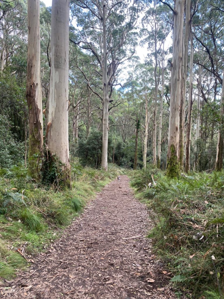
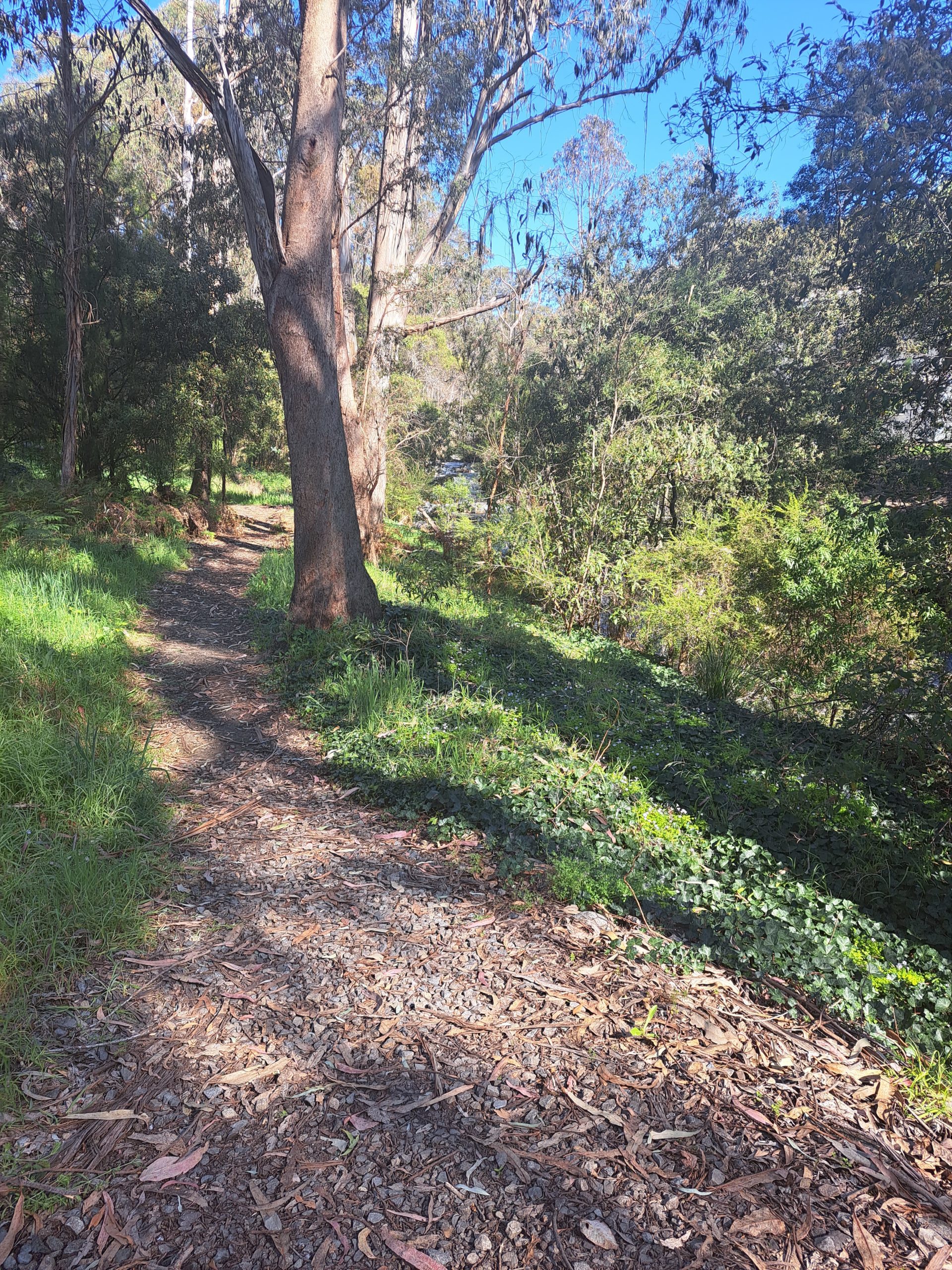
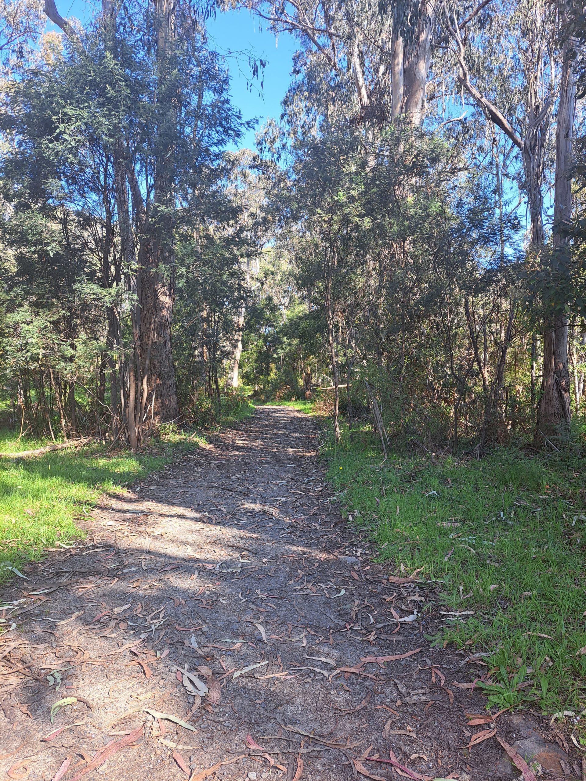
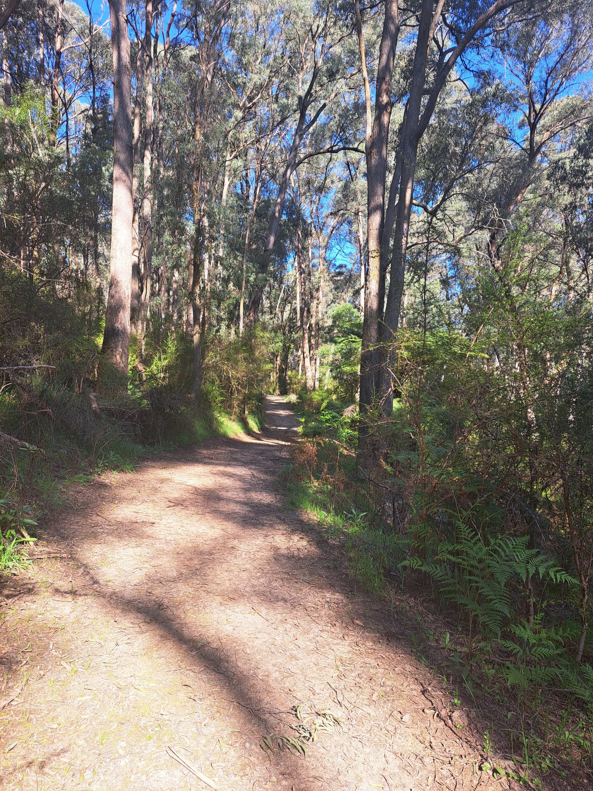
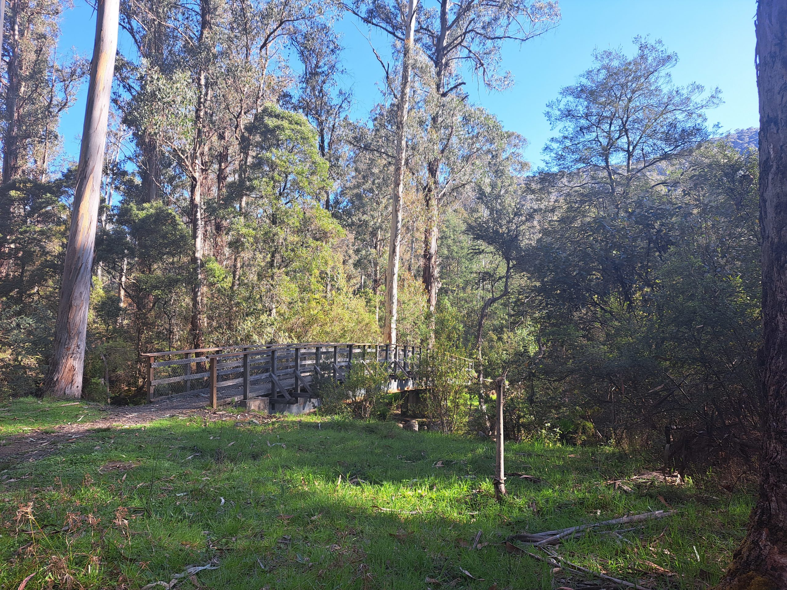
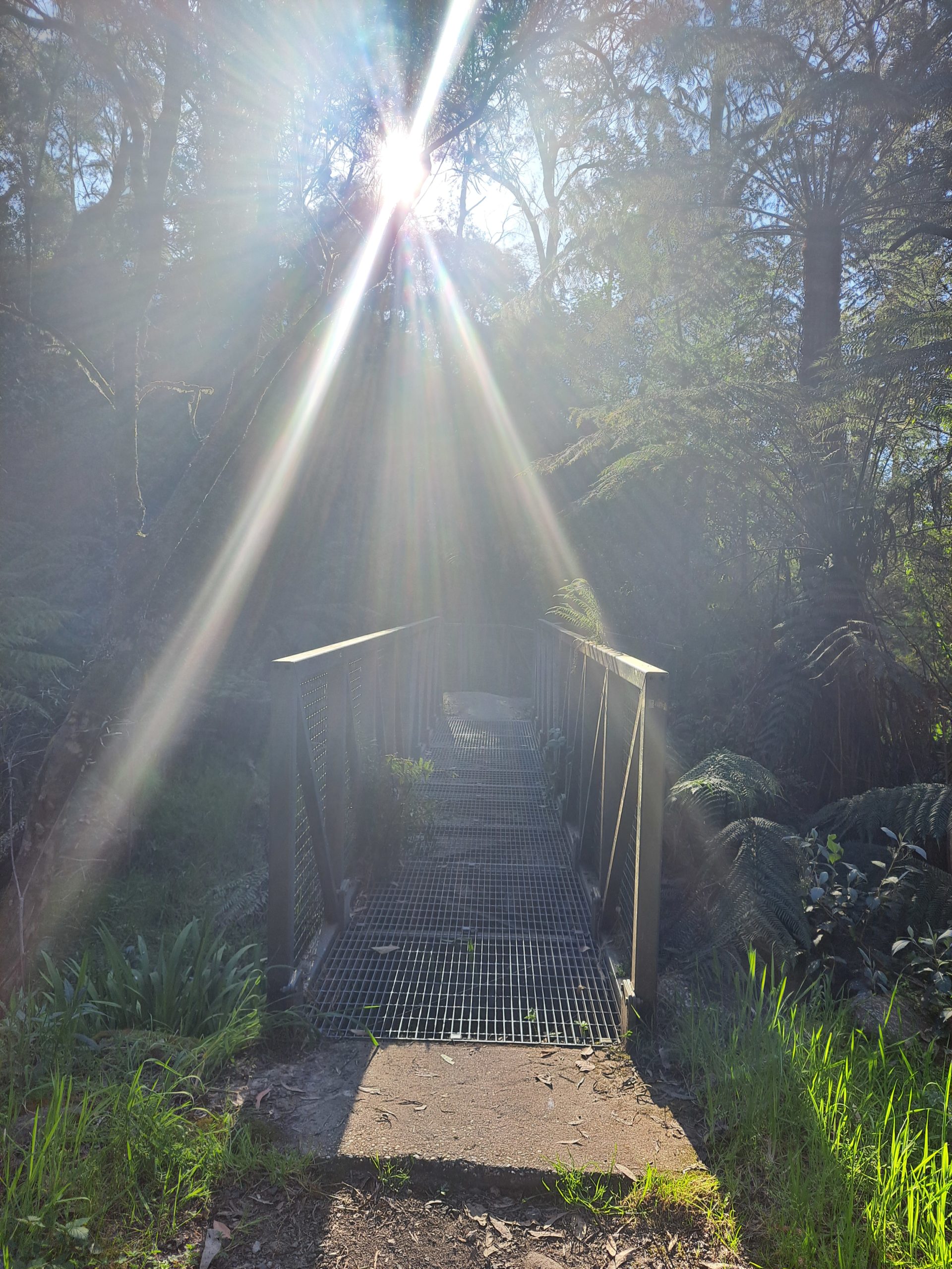
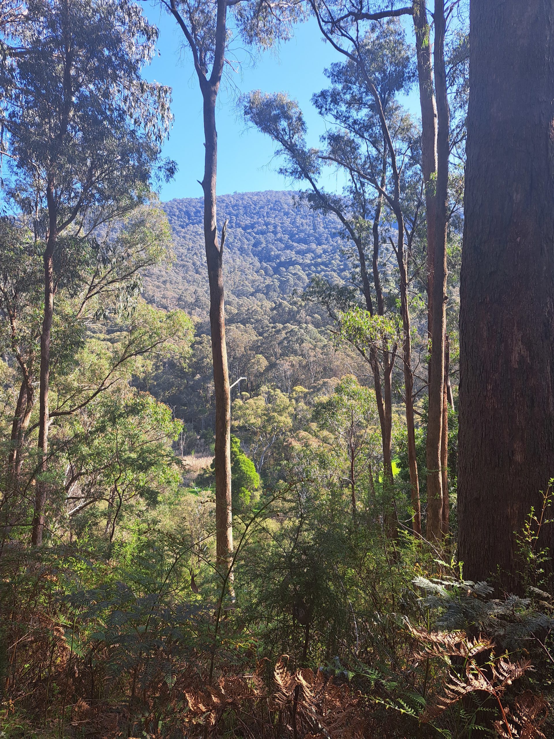
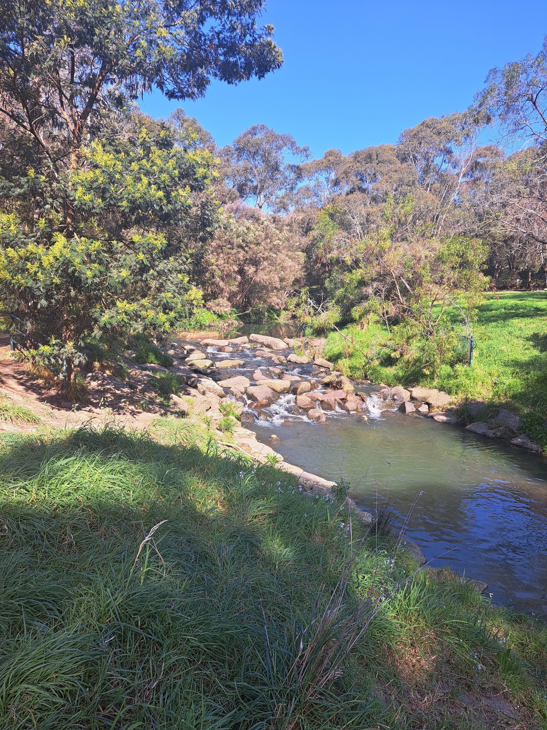
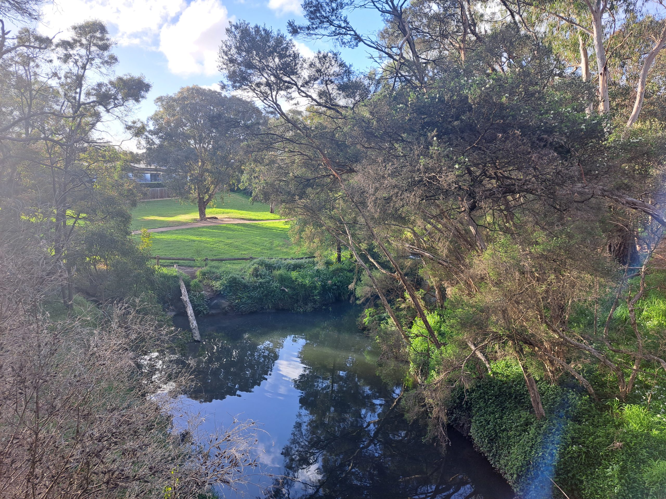
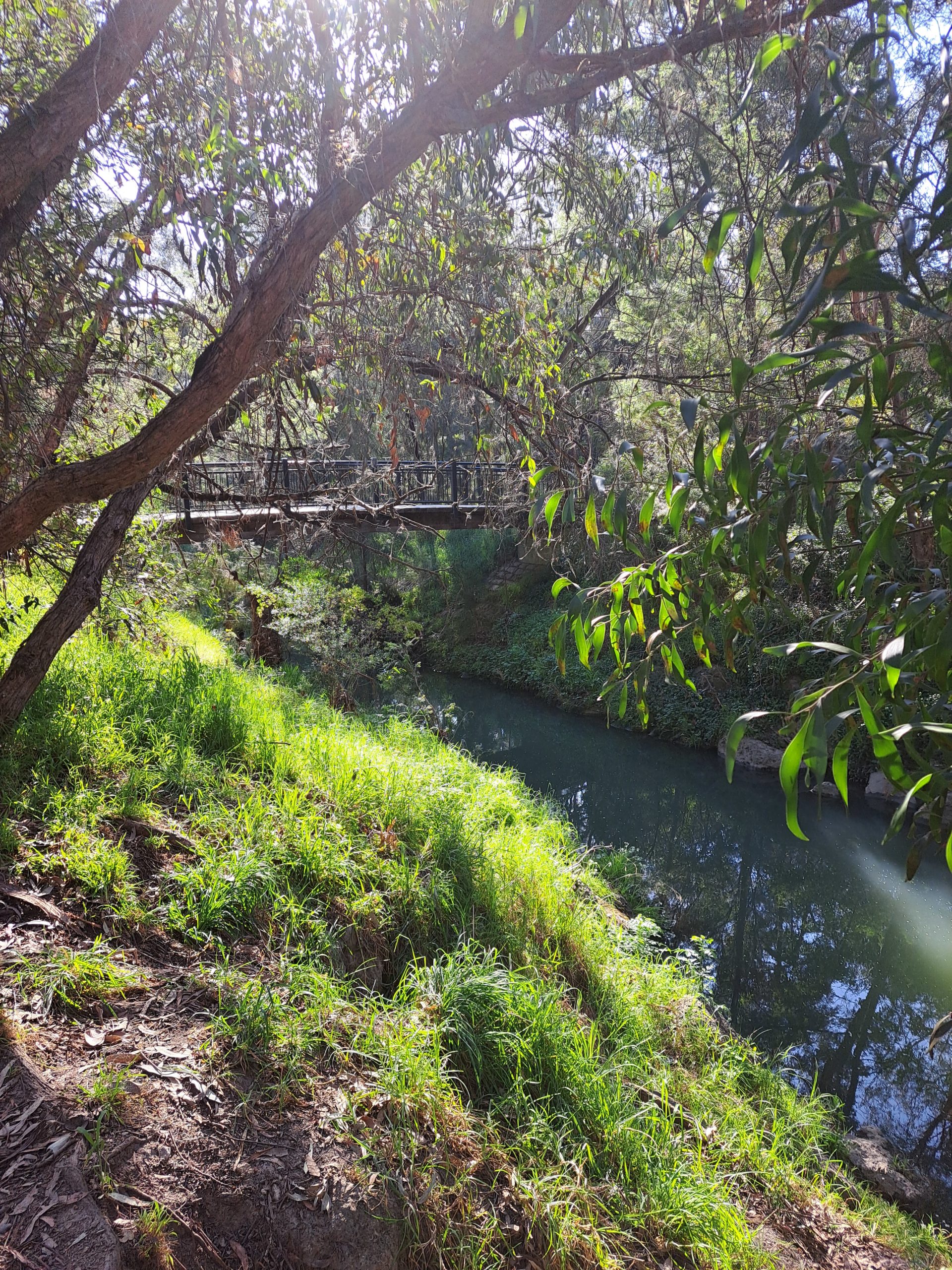
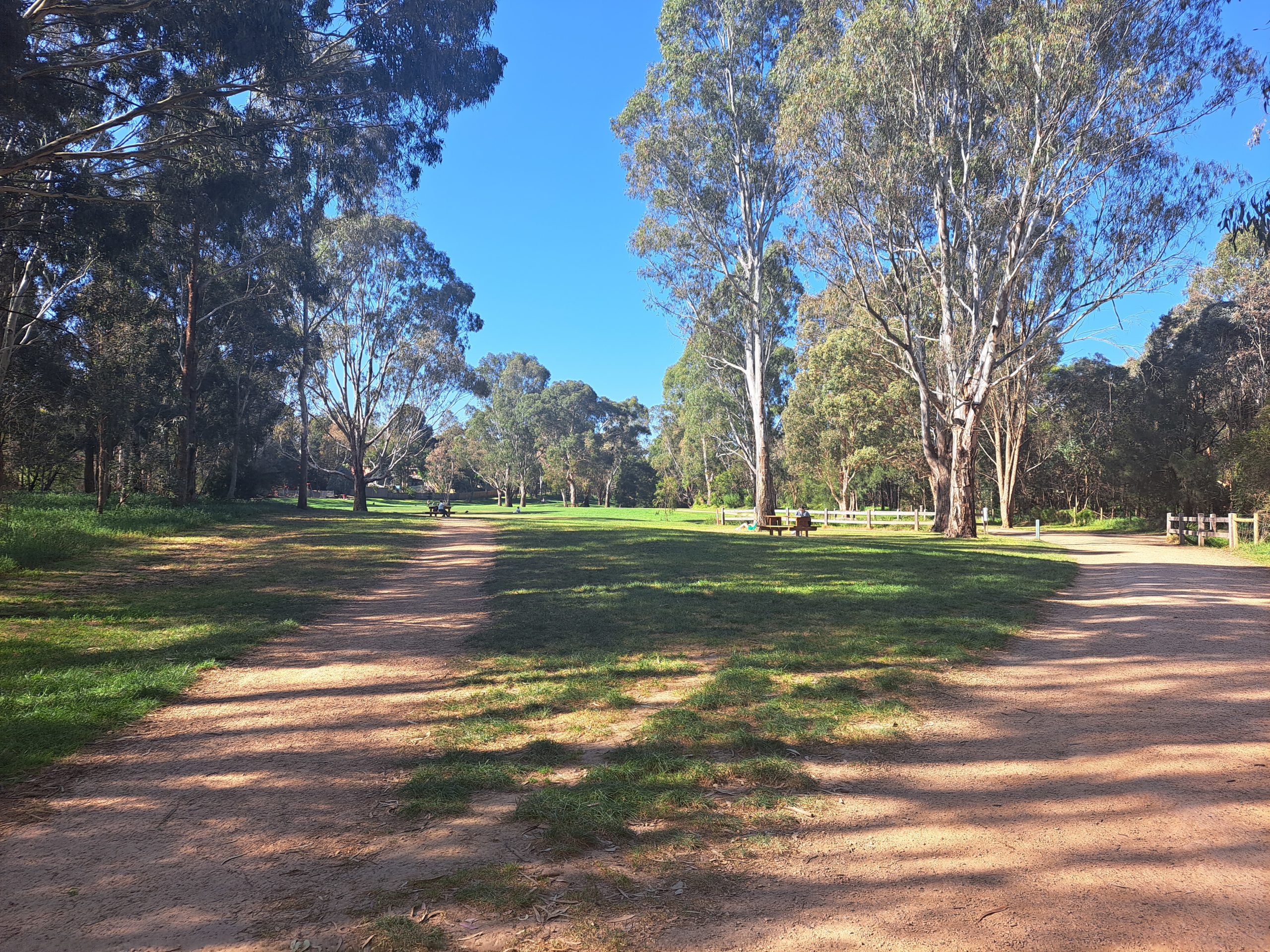
Tall eucalyptus trees sway gently in the breeze, their leaves whispering secrets of the forest. Birdsong fills the air as native wildlife flits among the branches, adding a touch of whimsy to the journey.

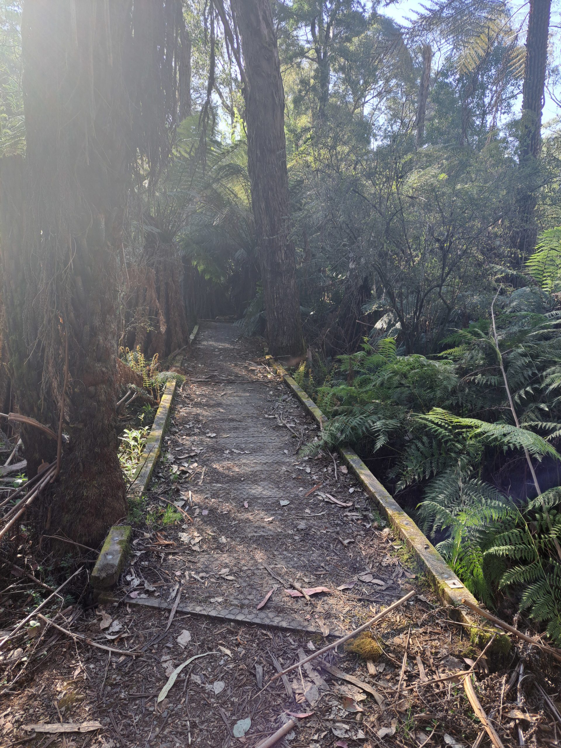
Keep an eye out for colourful parrots and cheeky kookaburras that call this home too. As you meander along the trail, each bend reveals a new vista more picturesque than the last.
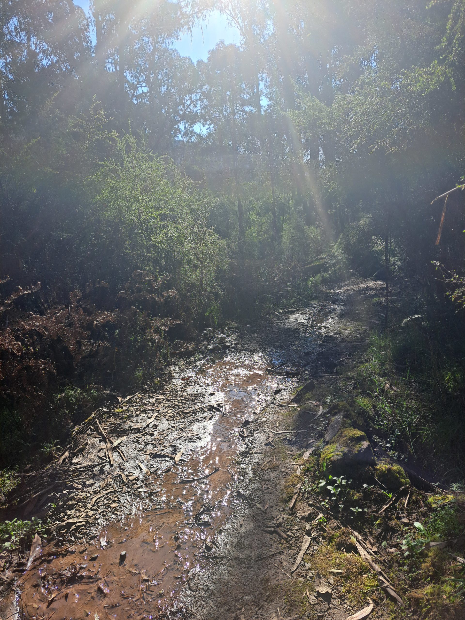
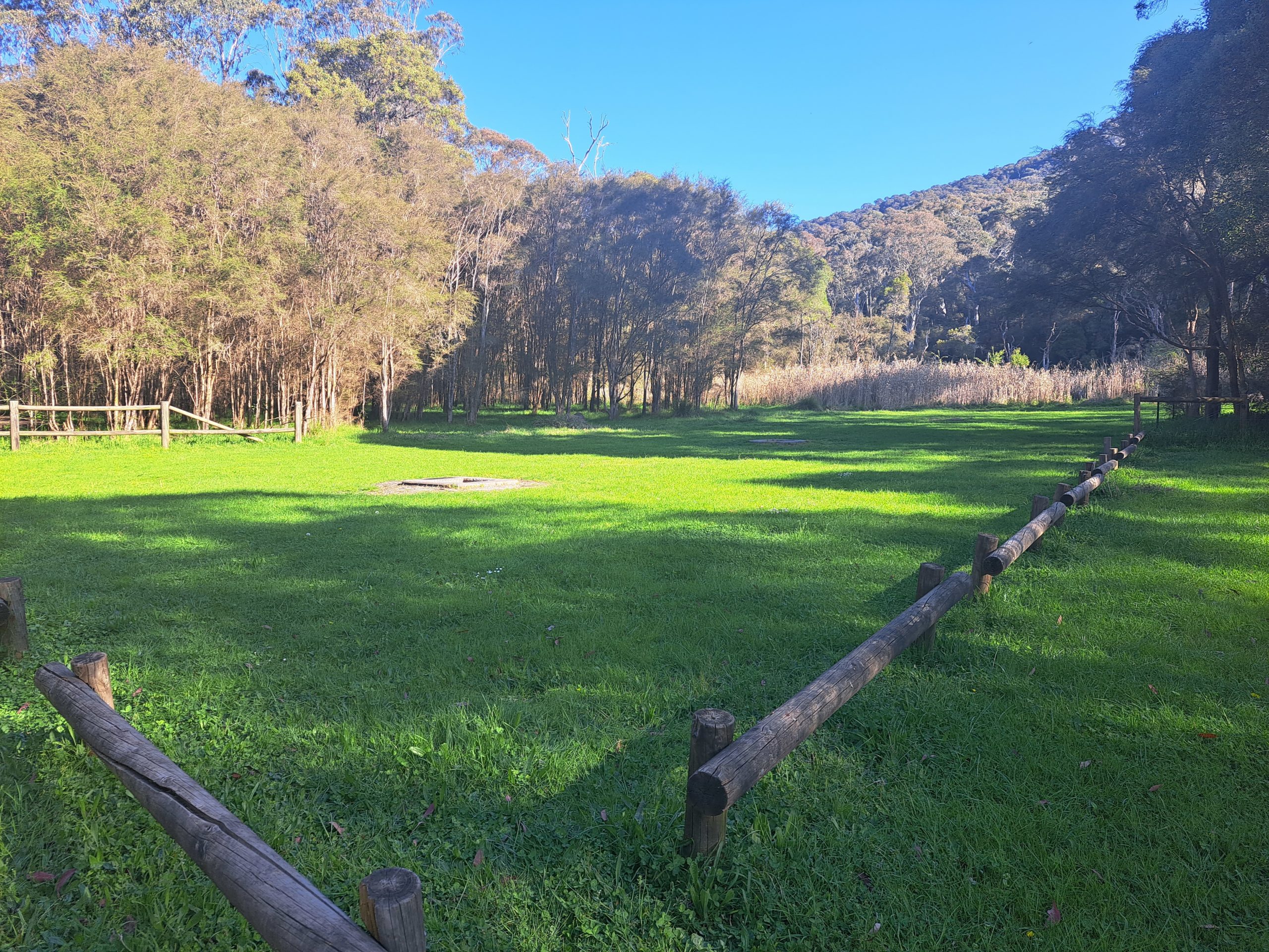
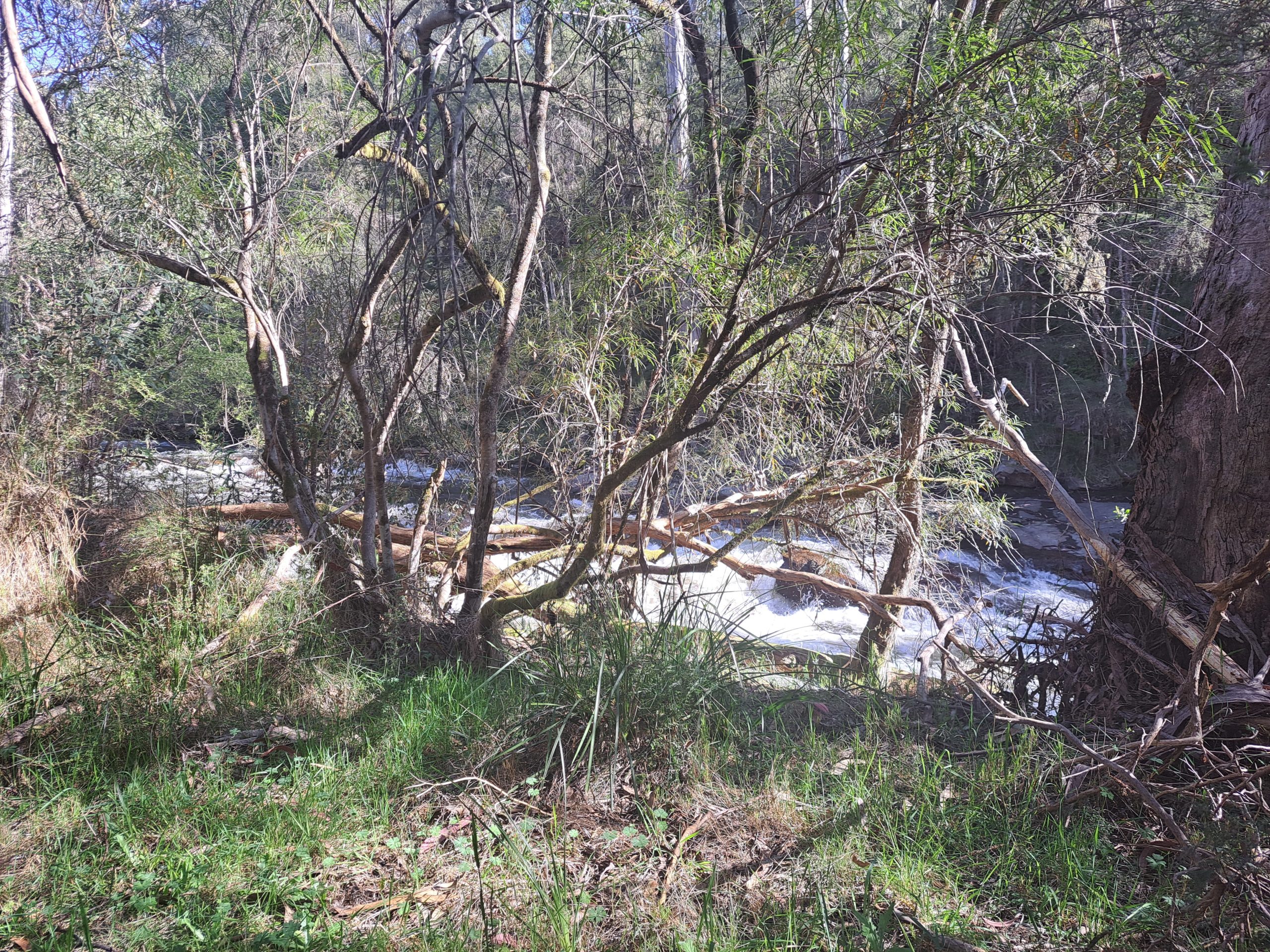
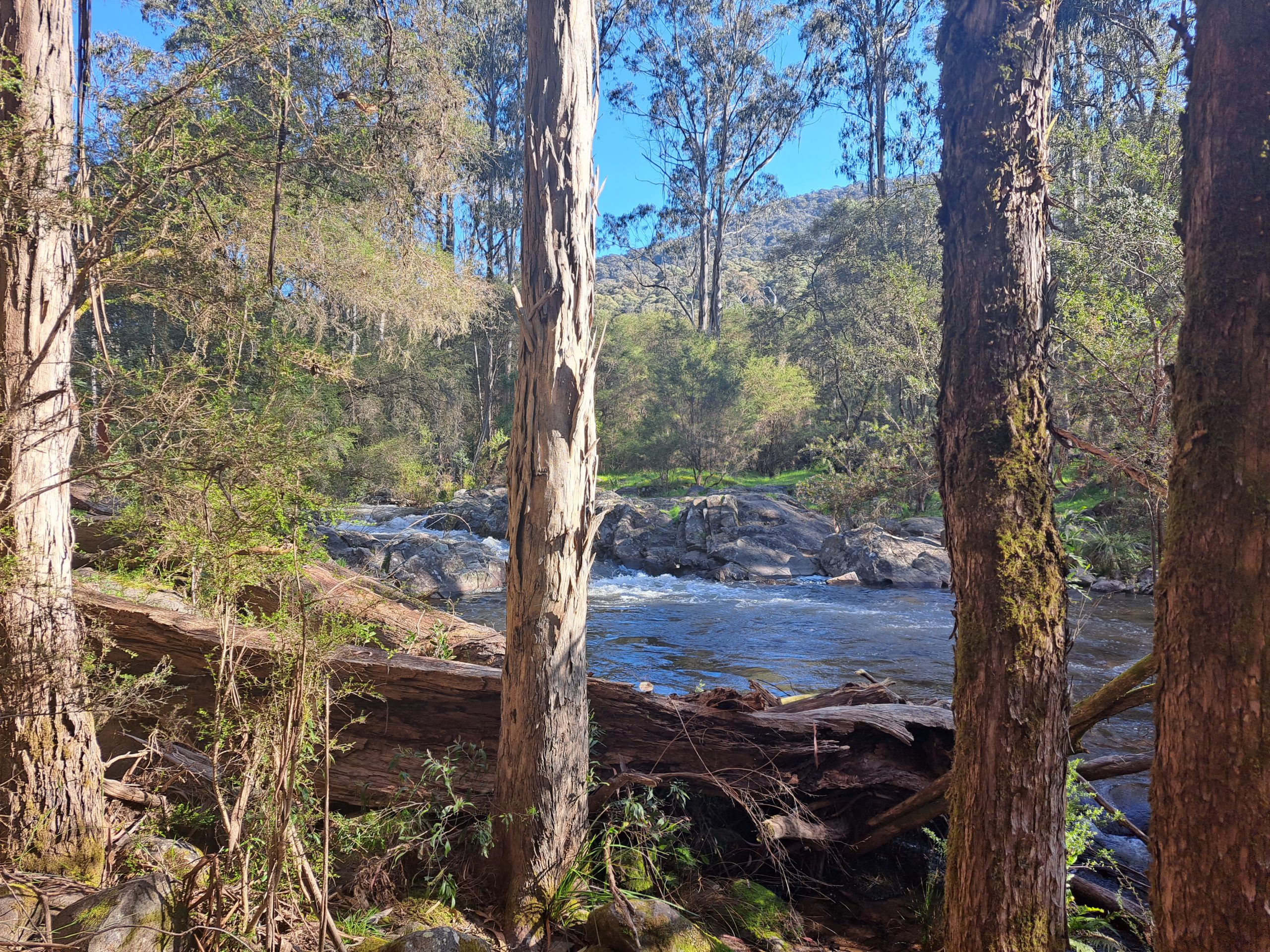
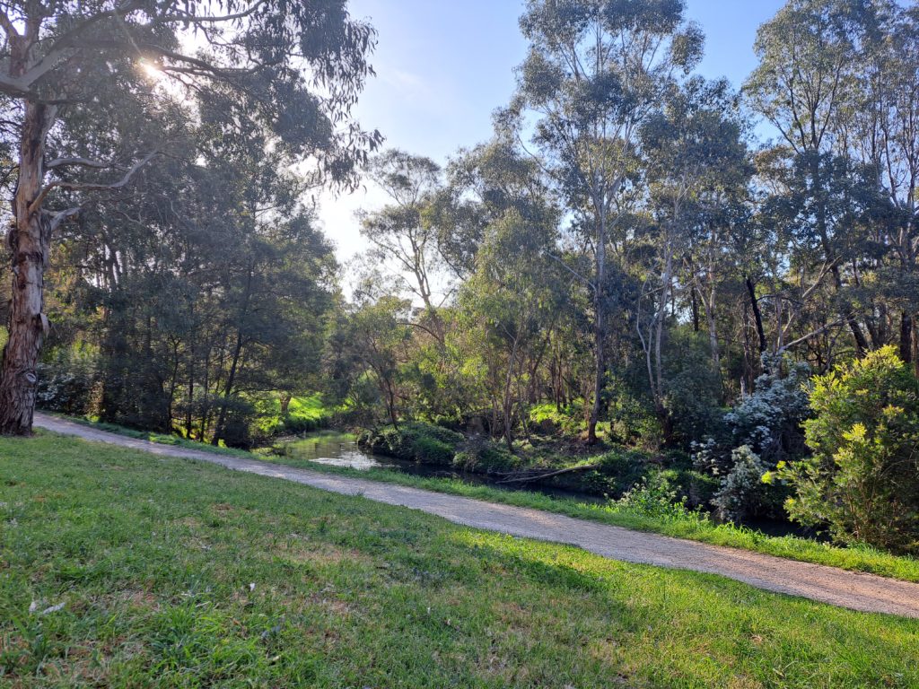
The Emerald Lake Park, with its tranquil waters and lush greenery, offers a perfect spot for a picnic or a moment of reflection. Take a break by the lakeside and let the serenity wash over you as you watch the world go by.

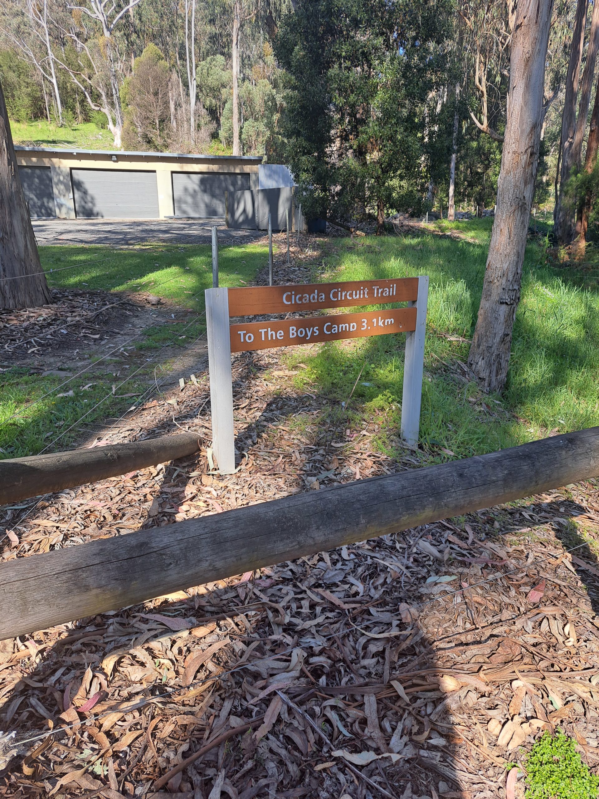
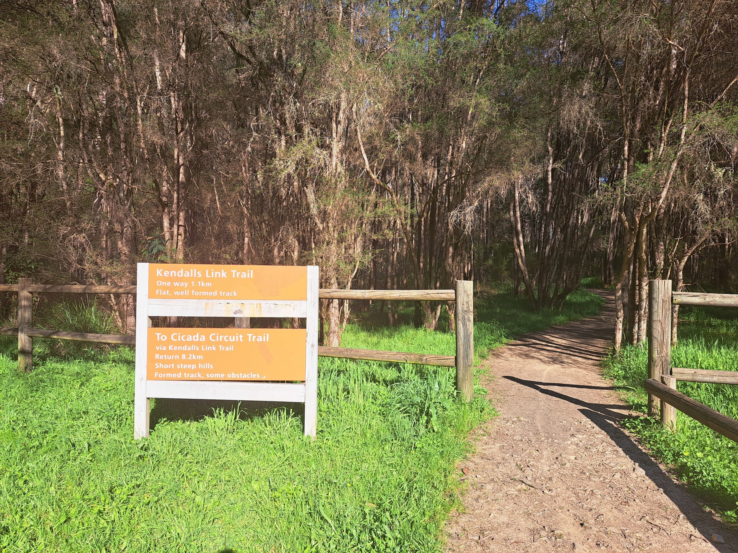
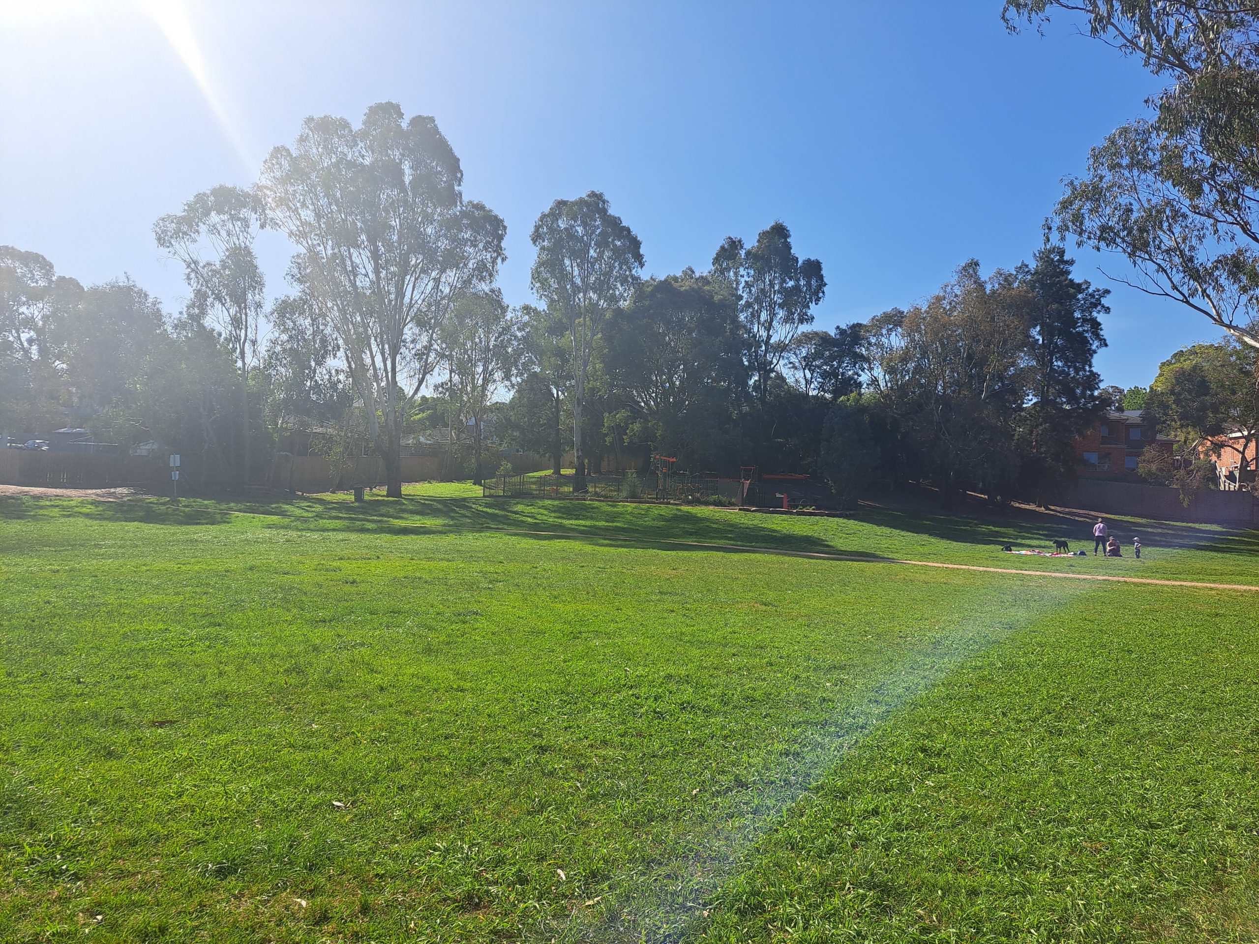
What sets this trail apart is its ability to cater to all ages and interests. Whether you’re a history buff eager to delve into the railway’s past or a nature lover seeking adventure in the great outdoors, there’s something for everyone along the trail.
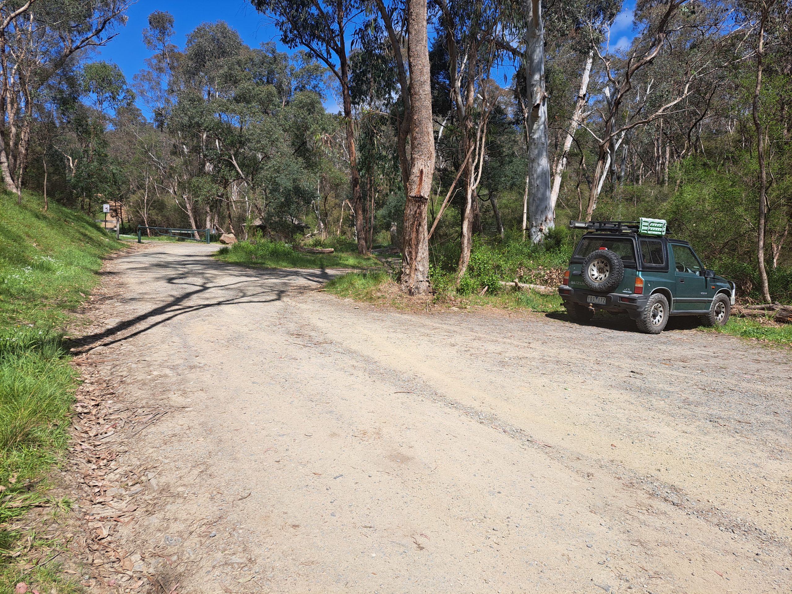
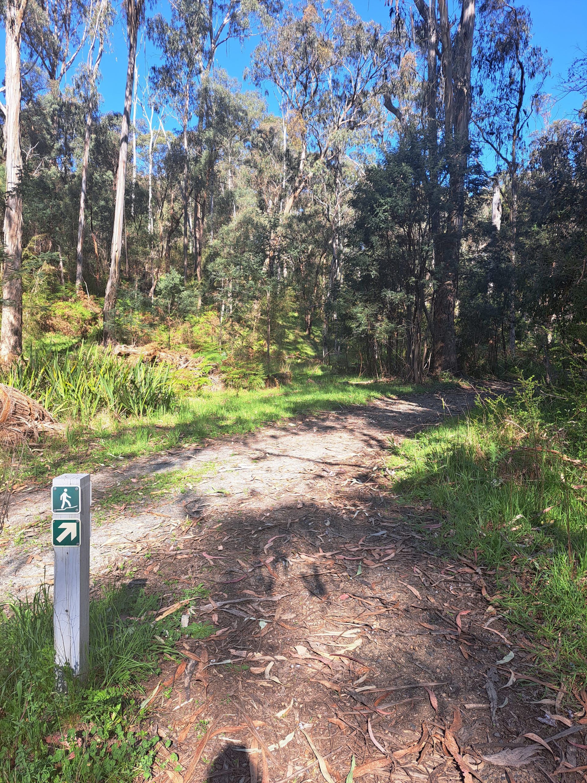
Families can enjoy a leisurely bike ride, while avid hikers can explore the surrounding bushland via interconnected trails. But perhaps the most charming aspect of this trail is the sense of community that permeates its atmosphere. You’ll often encounter friendly locals out for a stroll or volunteers maintaining the pathway, their passion for preserving this slice of history evident in every interaction.

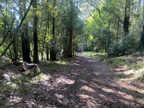
It’s also dog friendly! So whether you’re embarking on a solo adventure with your canine or exploring with loved ones by your side, be prepared to be enchanted by the magic of this timeless trail.