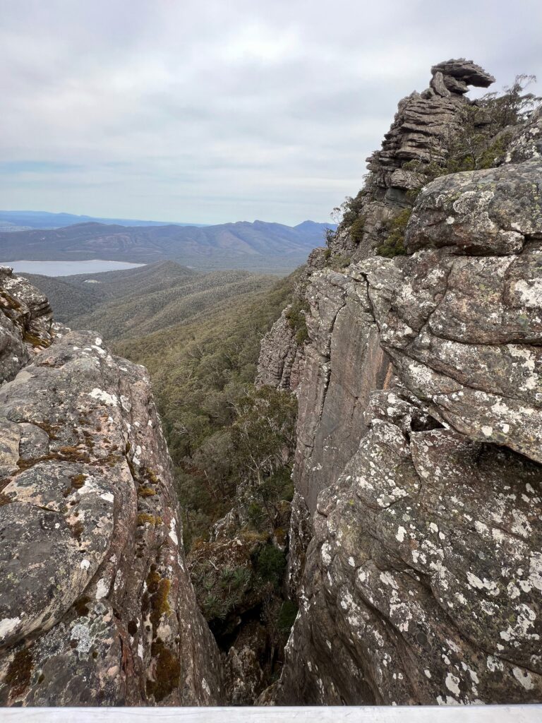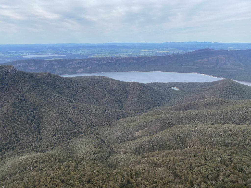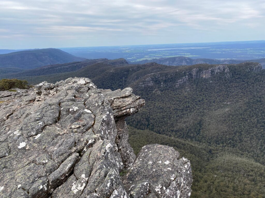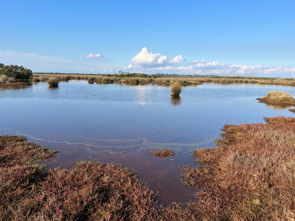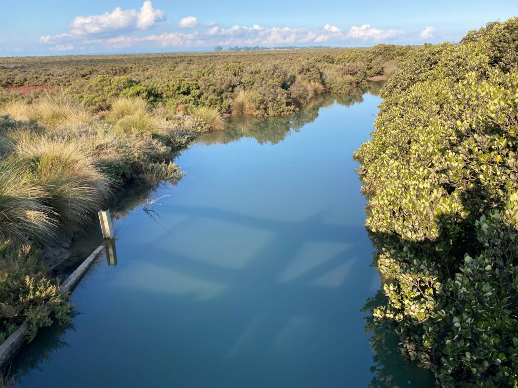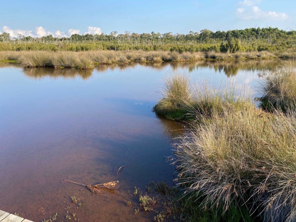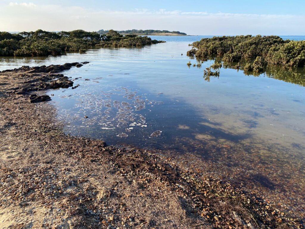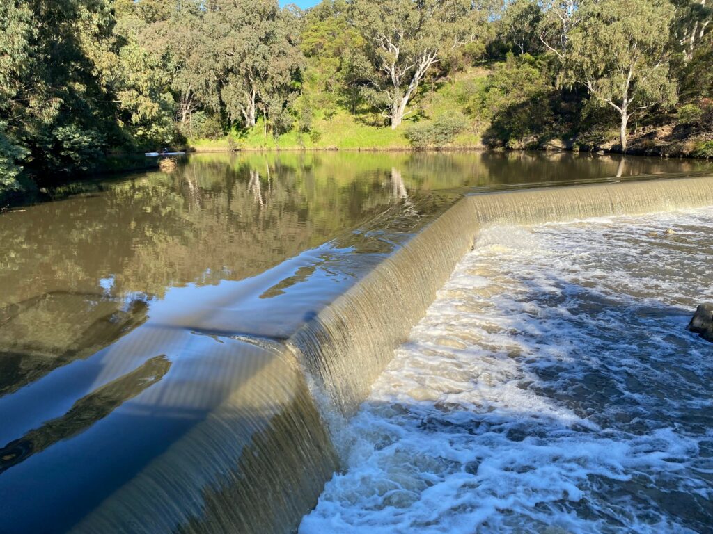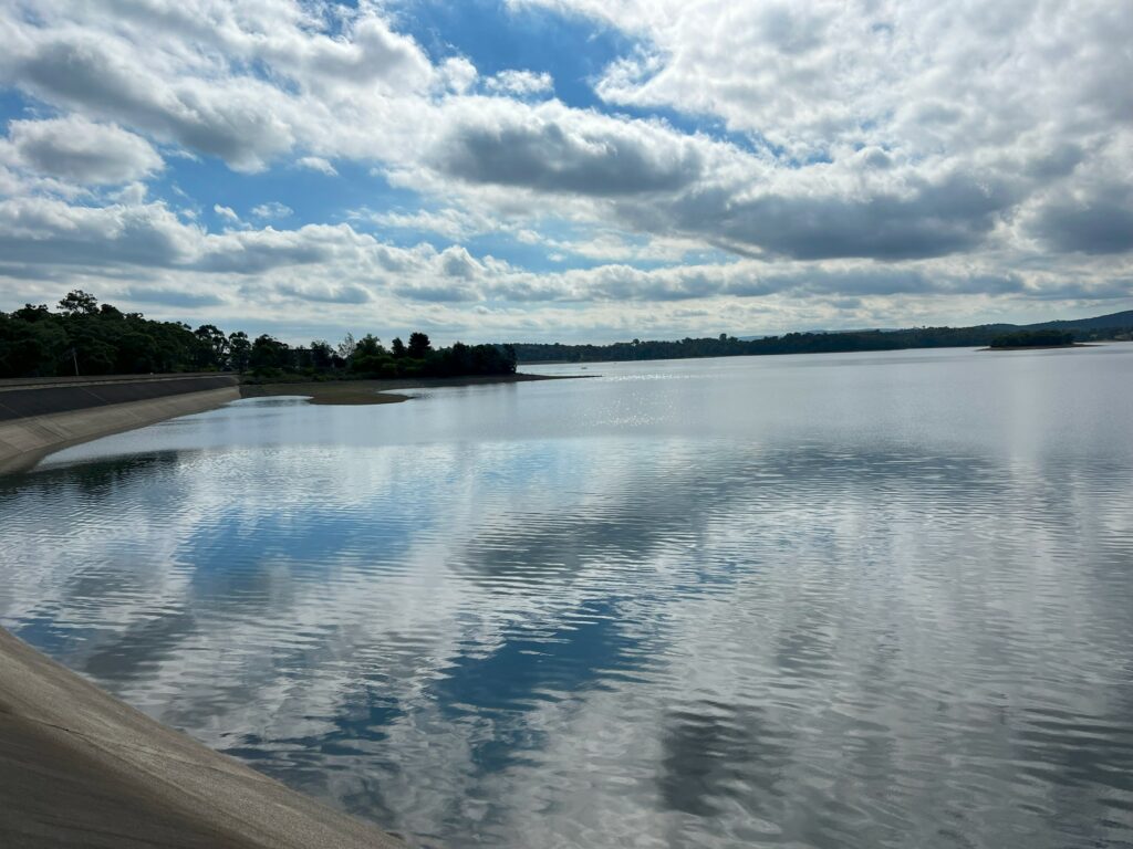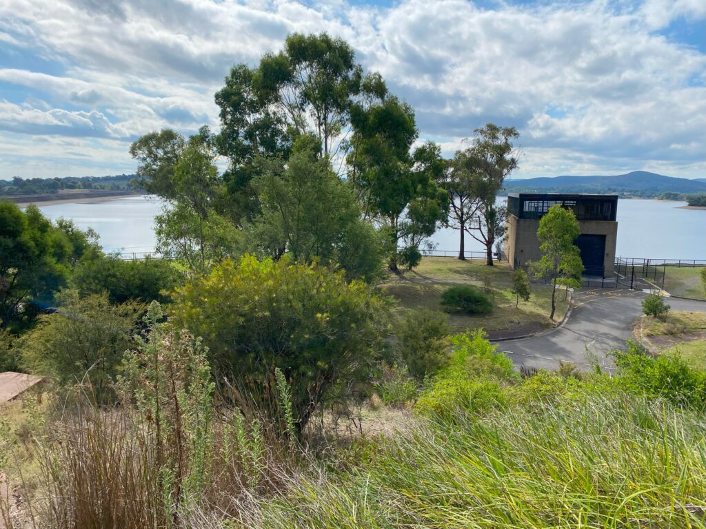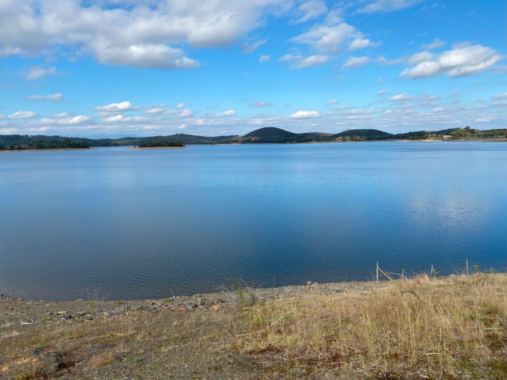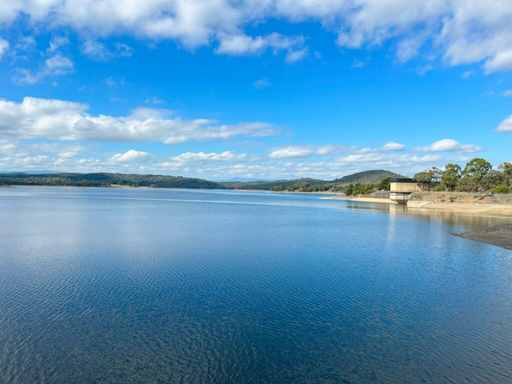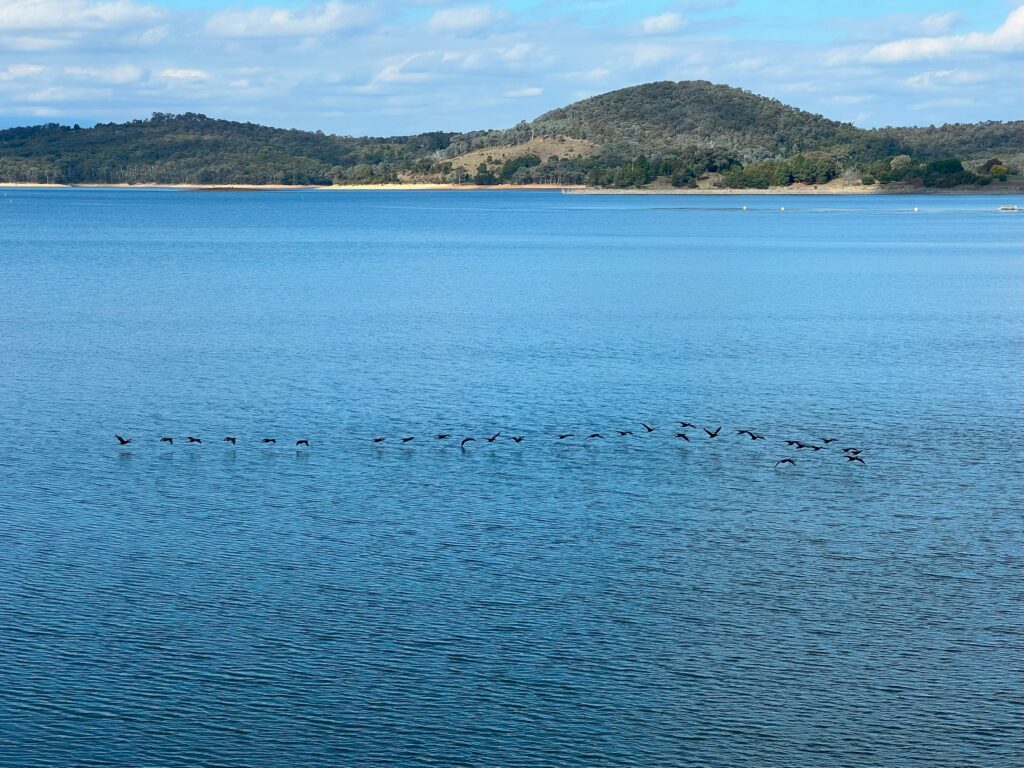
When my friend suggested we do this hike I was like YES PLEASE! From amazing green scenery to beautiful dams with ducks quacking, going from insane views of Port Phillip Bay on day 1 to views of the wild ocean on day 2. This walk is located on the Mornington Peninsula.
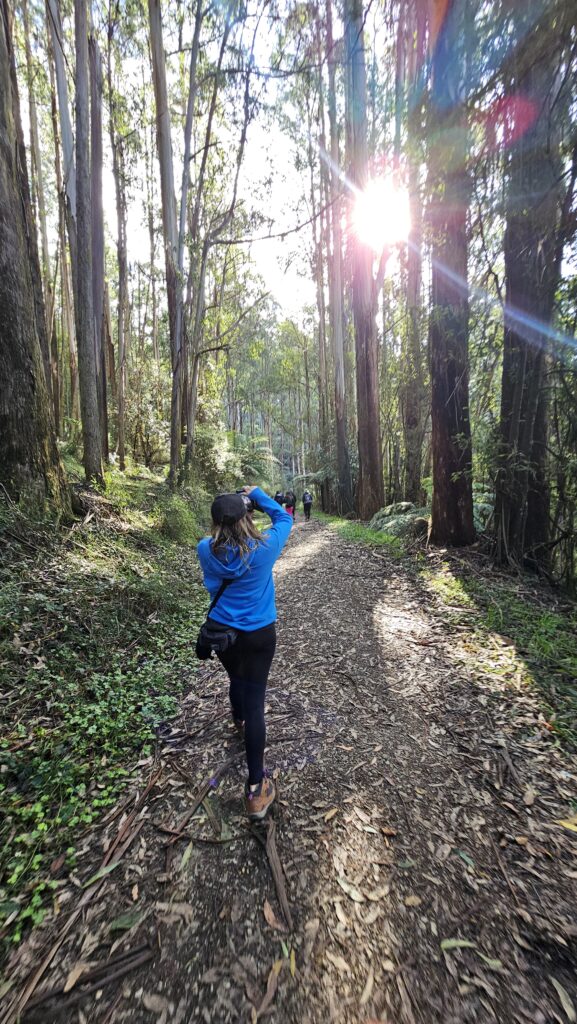
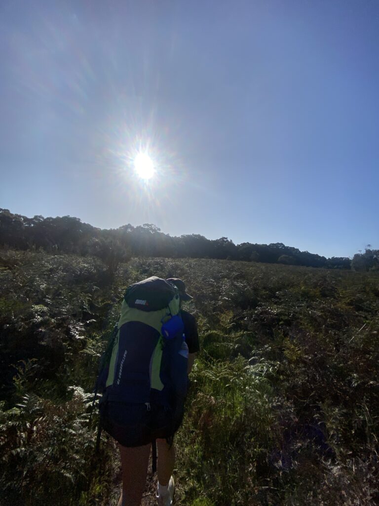
I was lucky enough to have stunning weather on my journey. A perfect 22 degrees and sunny for day 1 at least, day 2 we were teased by some rain and clouds.
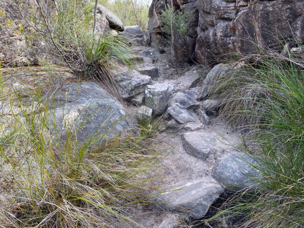
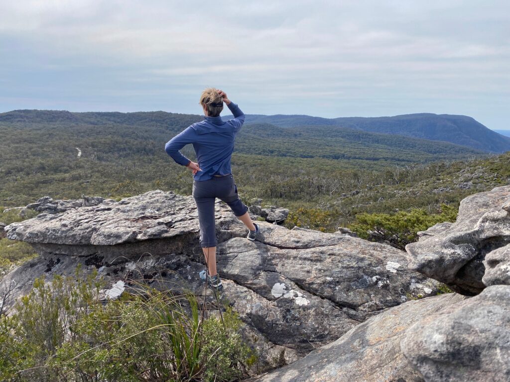
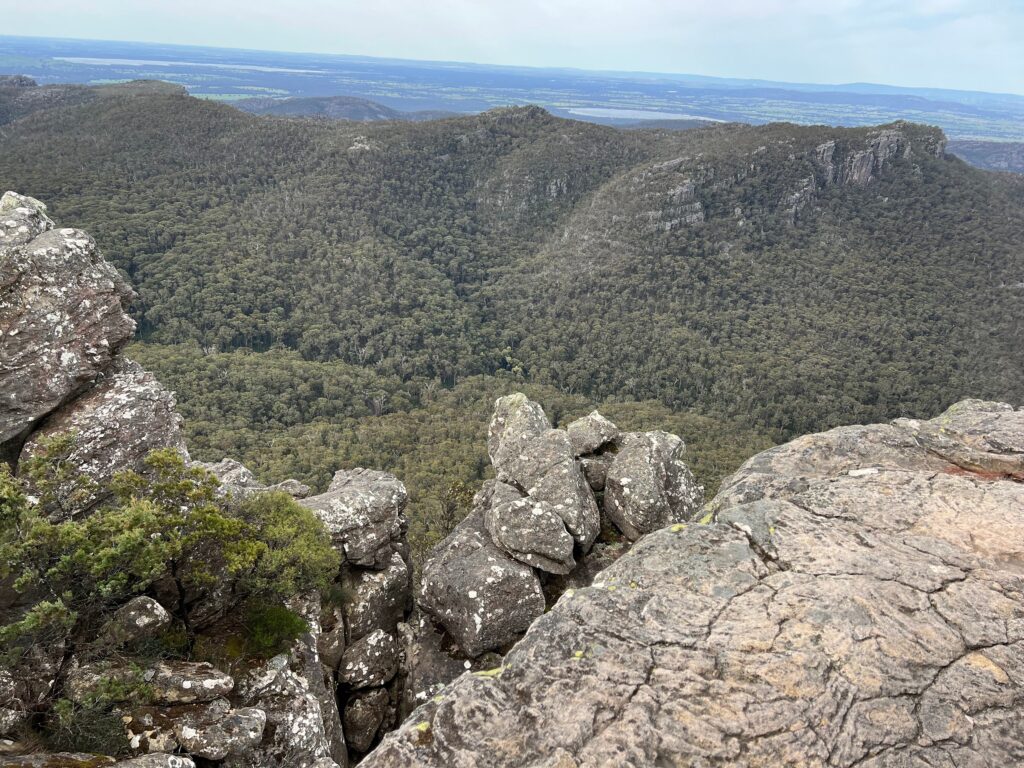
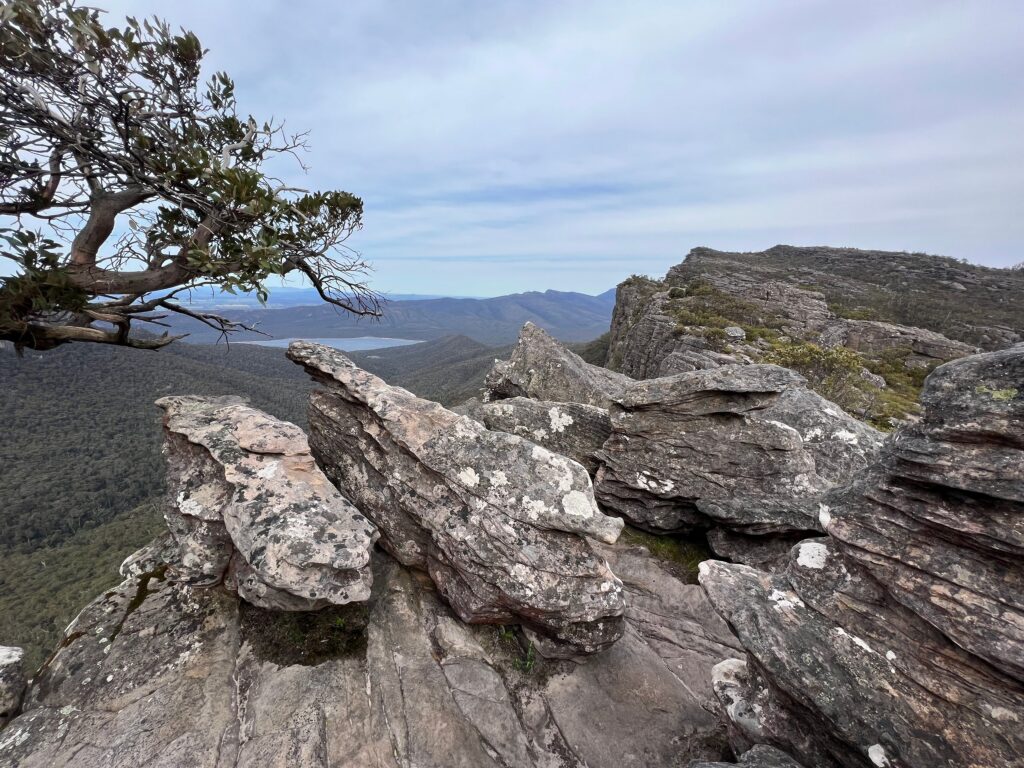
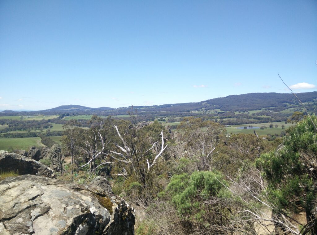
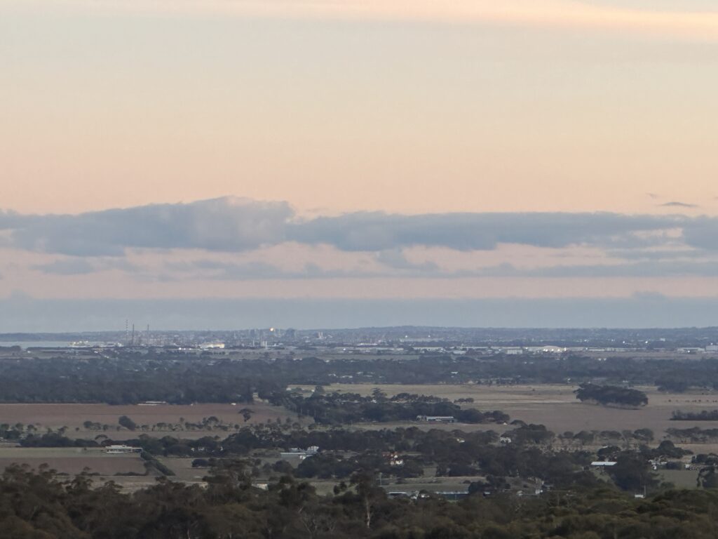
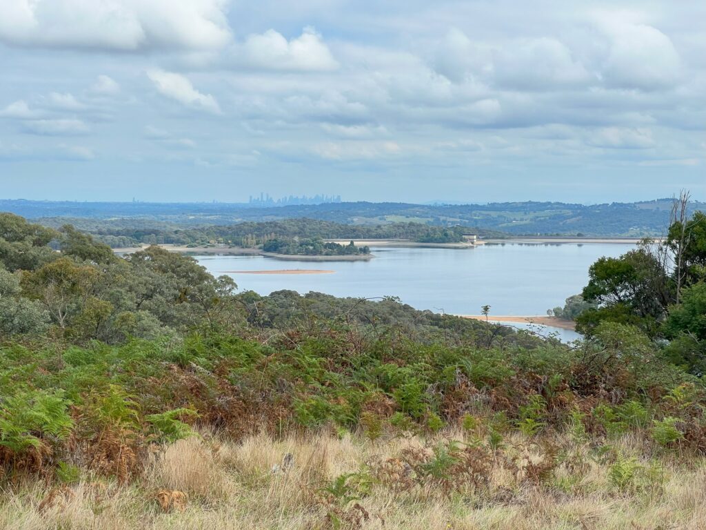
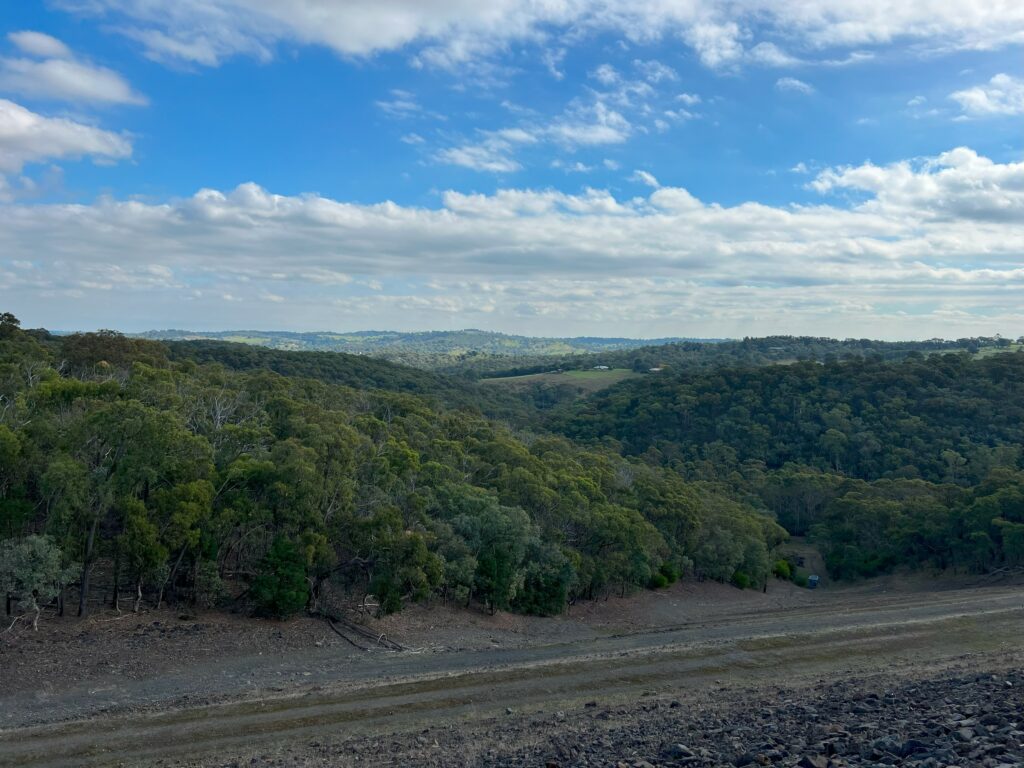
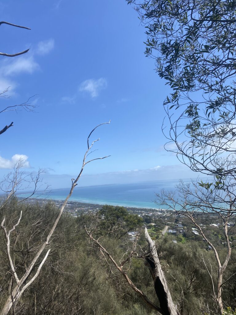
The first 2km of this hike if you are starting at Authors Seat is all up hills. With 17kg packs on and stiff legs this was a struggle. However, the views at the top of Authors Seat were beautiful and well worth it. The stairs are paved and not too difficult to climb however there where quite a few. Along the stairs there was multiple spots to take photos with stunning views over the Mornington Peninsula.
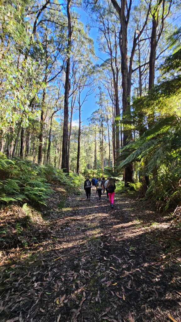
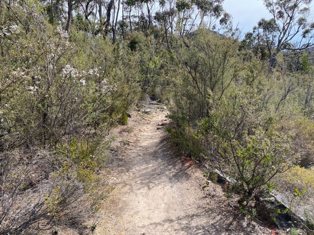
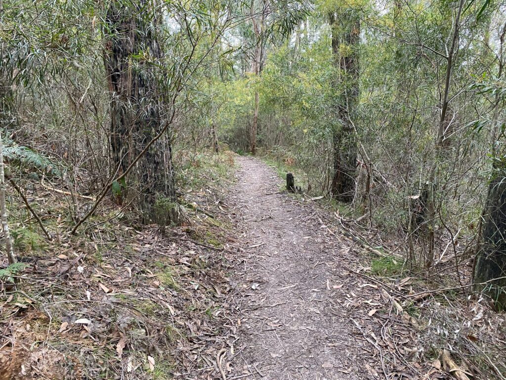
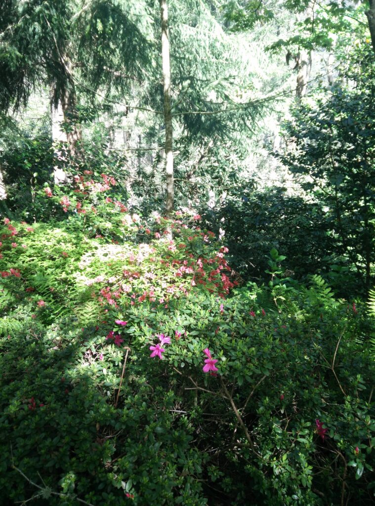
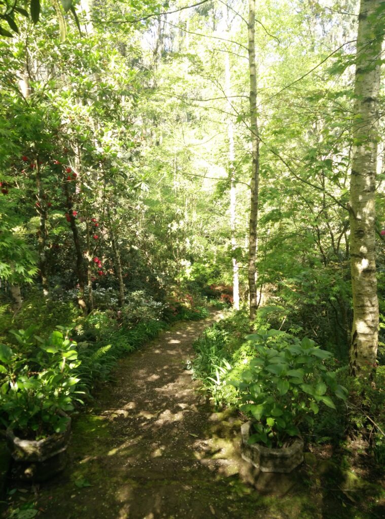
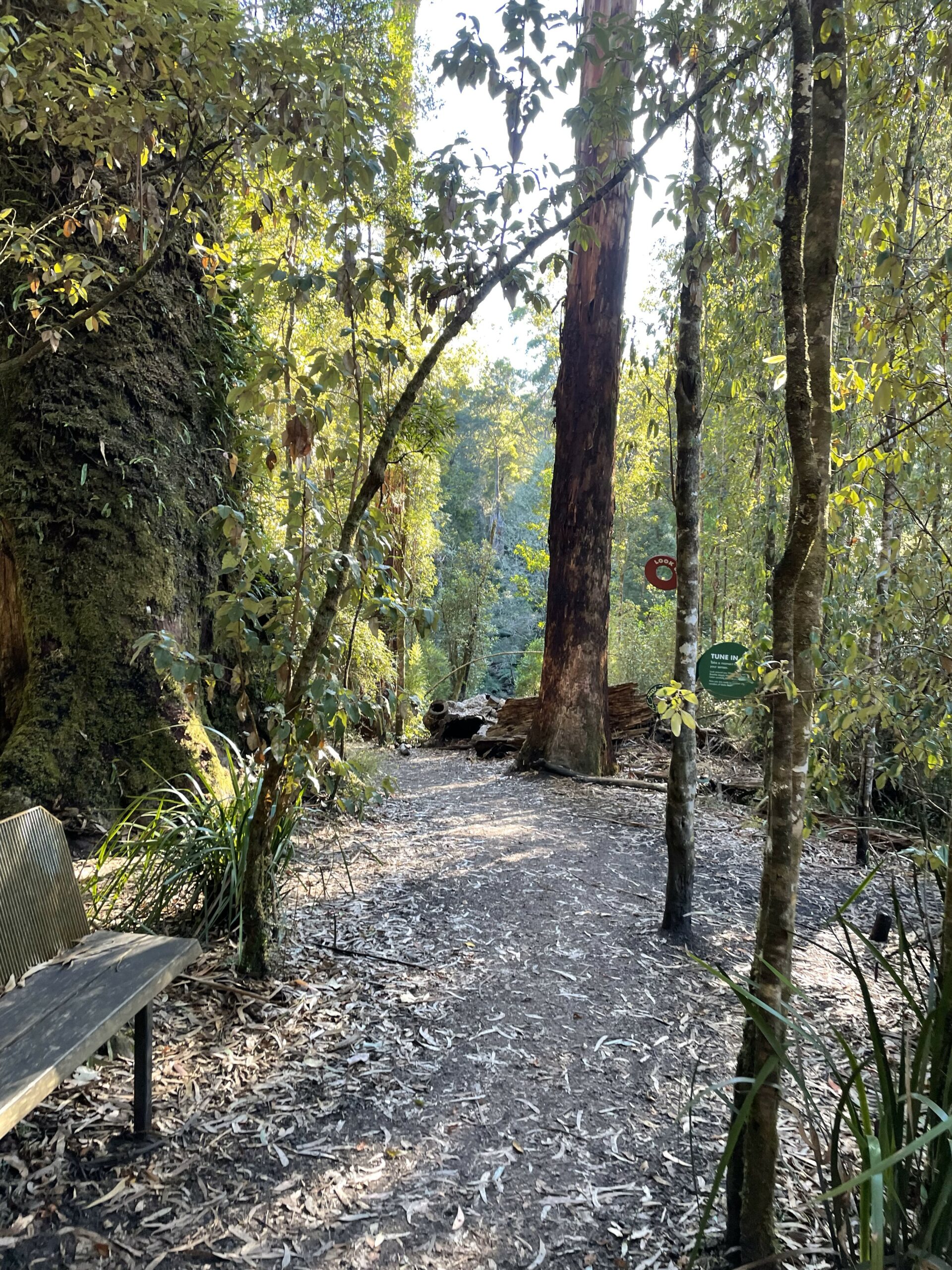
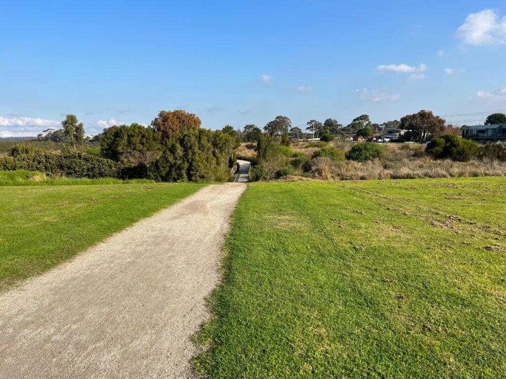
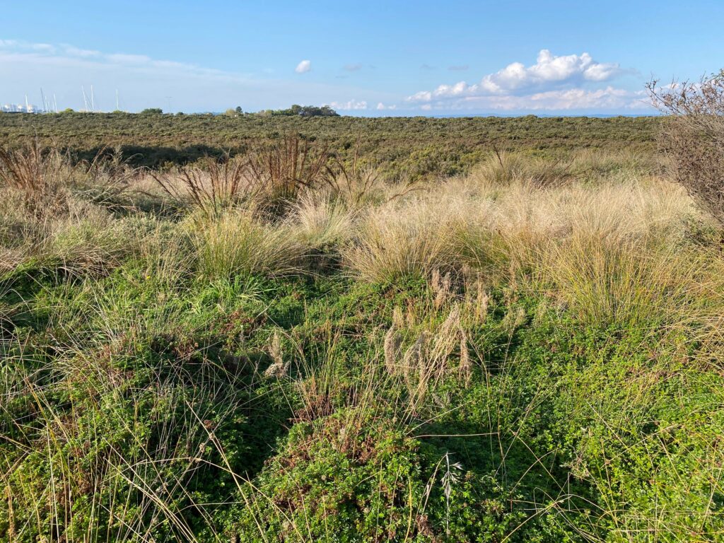
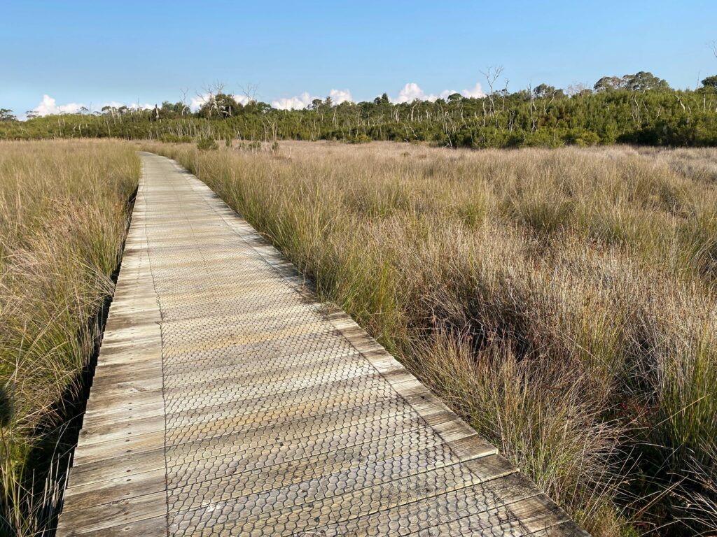
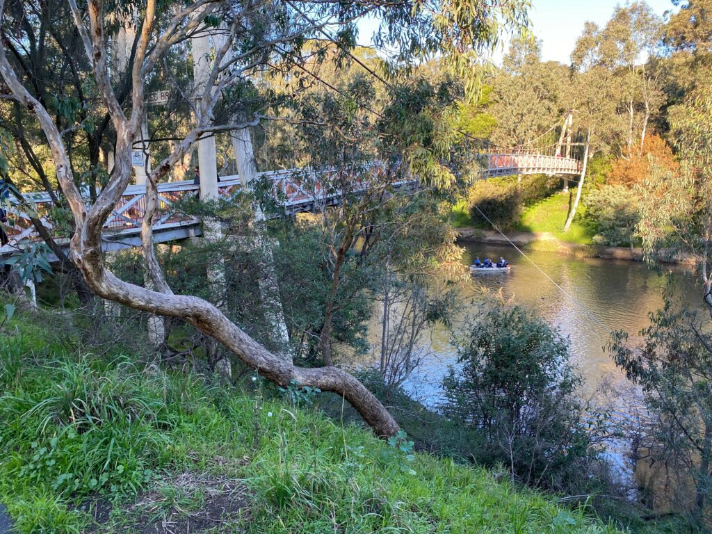
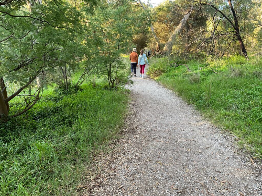
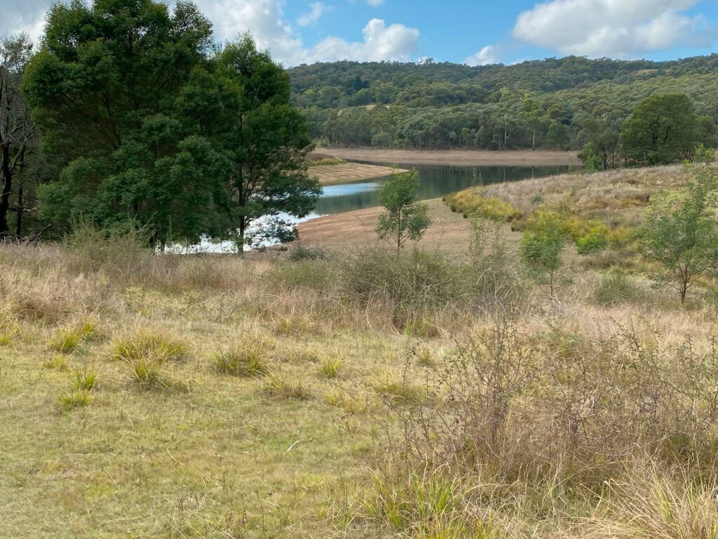
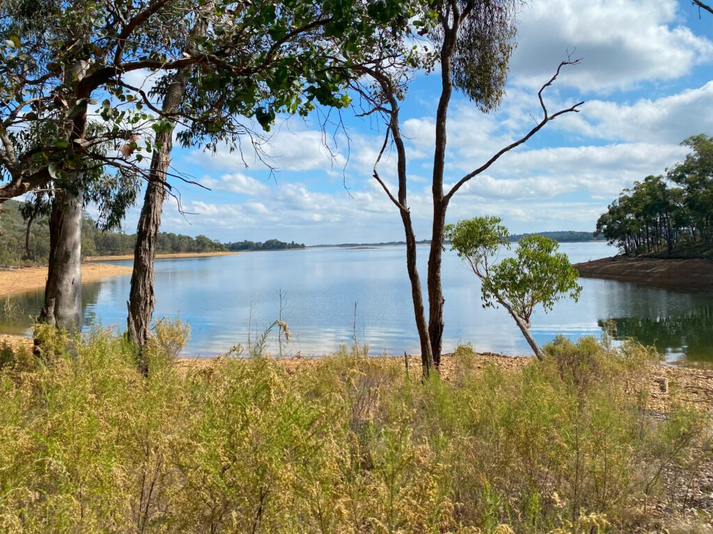
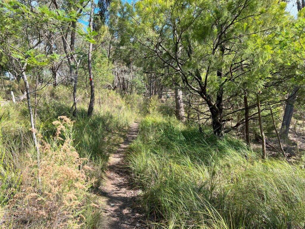
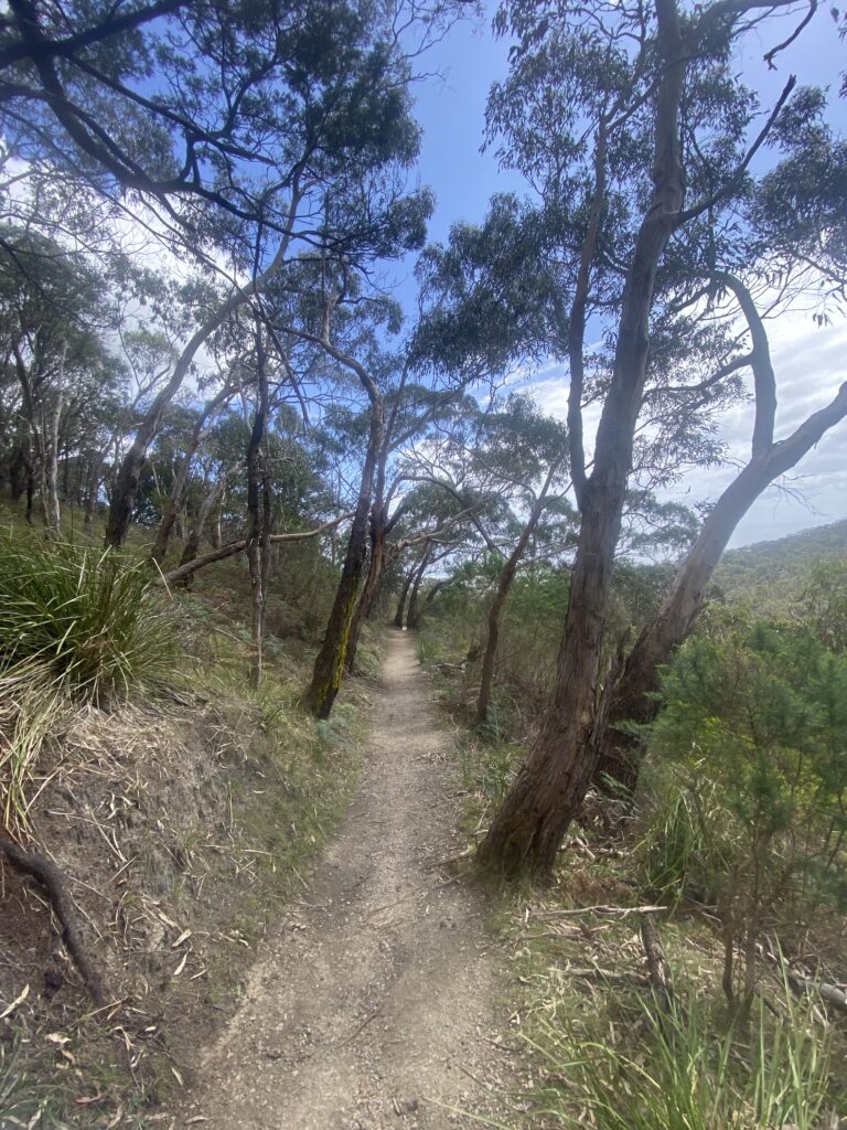
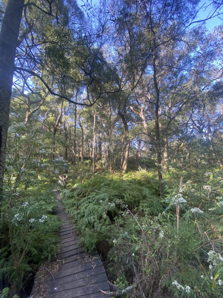
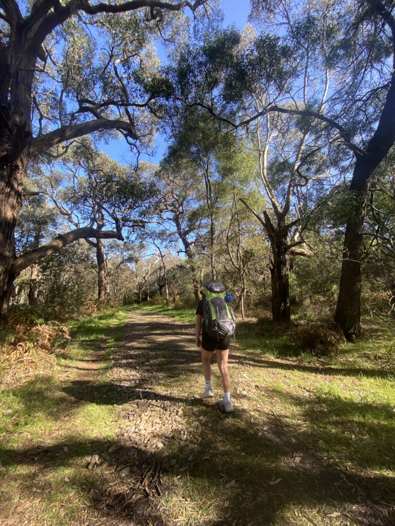
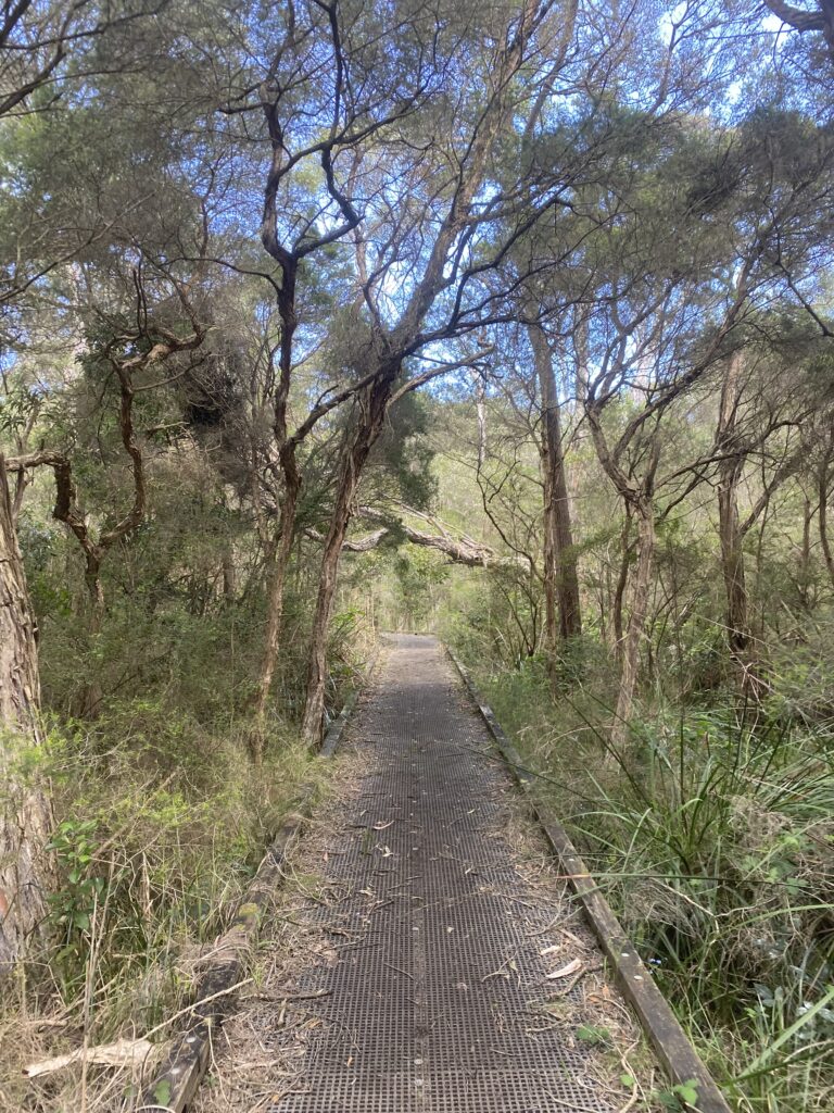
After smashing out the first stint of this track, it turned to be quite a nice walk. Lots of greenery, and flat nicely kept tracks suitable for single file walking.
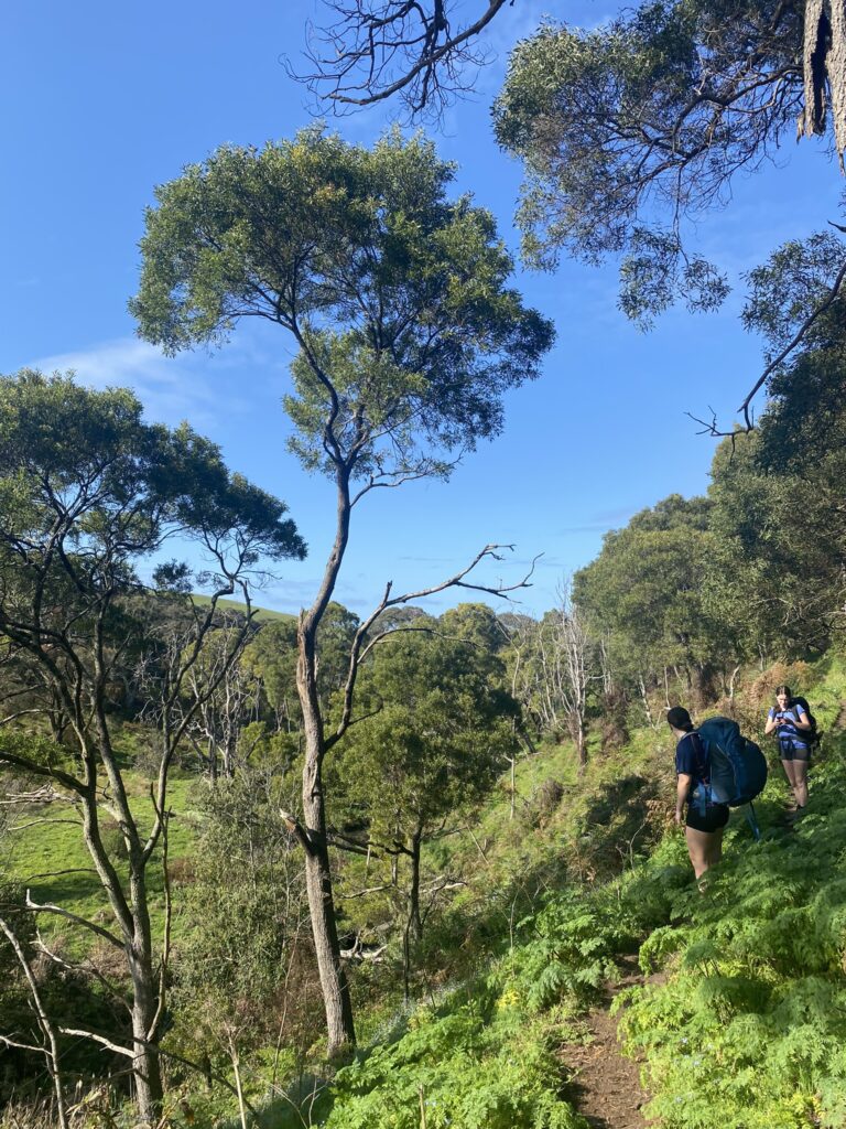
The first leg of this walk if you are camping overnight at lightwood camp site is around 16km and leg 2 is around 10km so coming together is a 26km walk and is possible to be walked in 1 day.
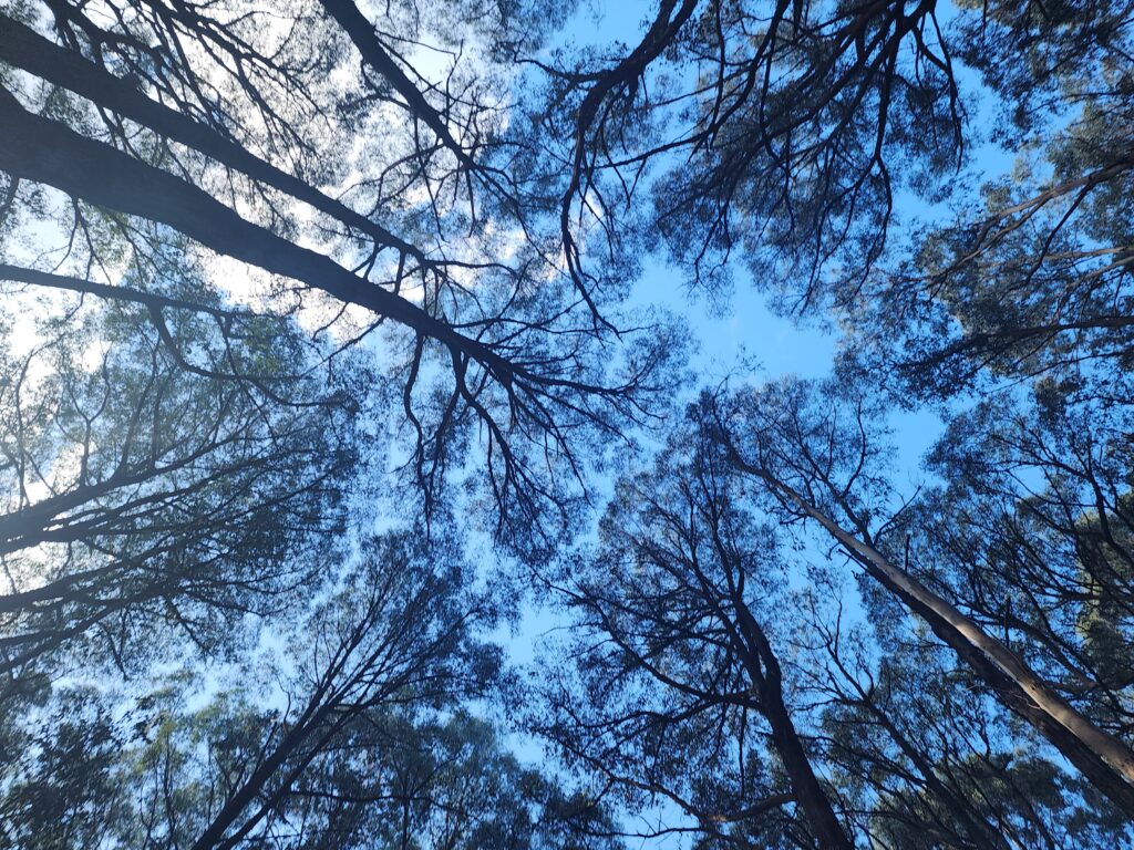
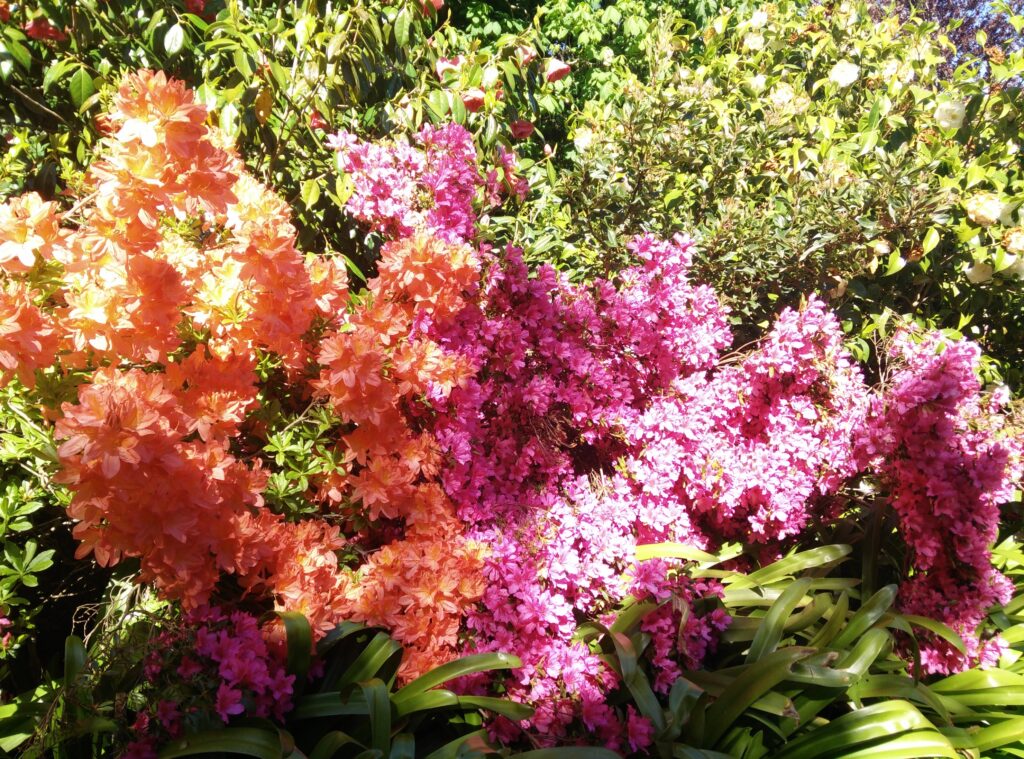
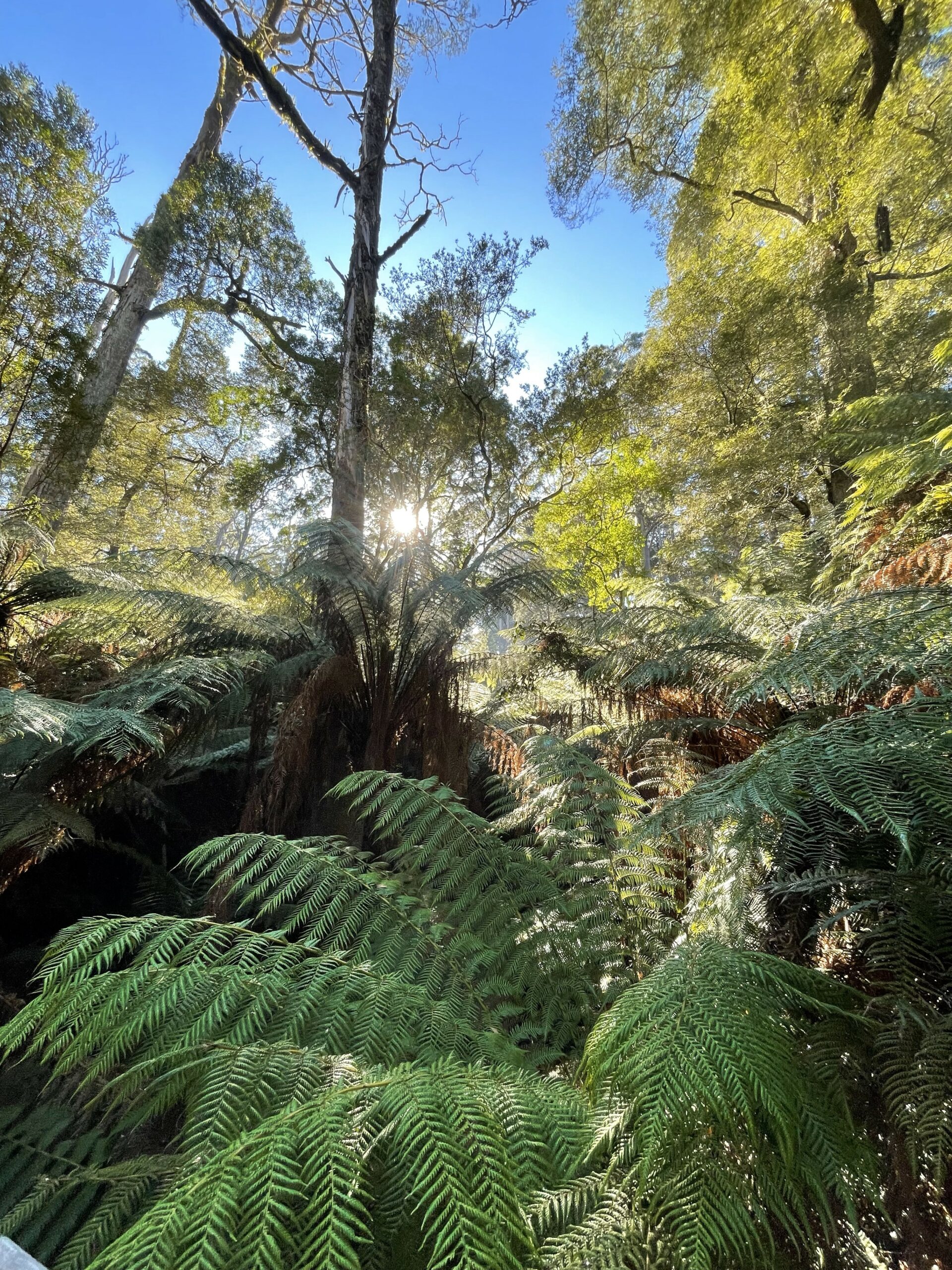
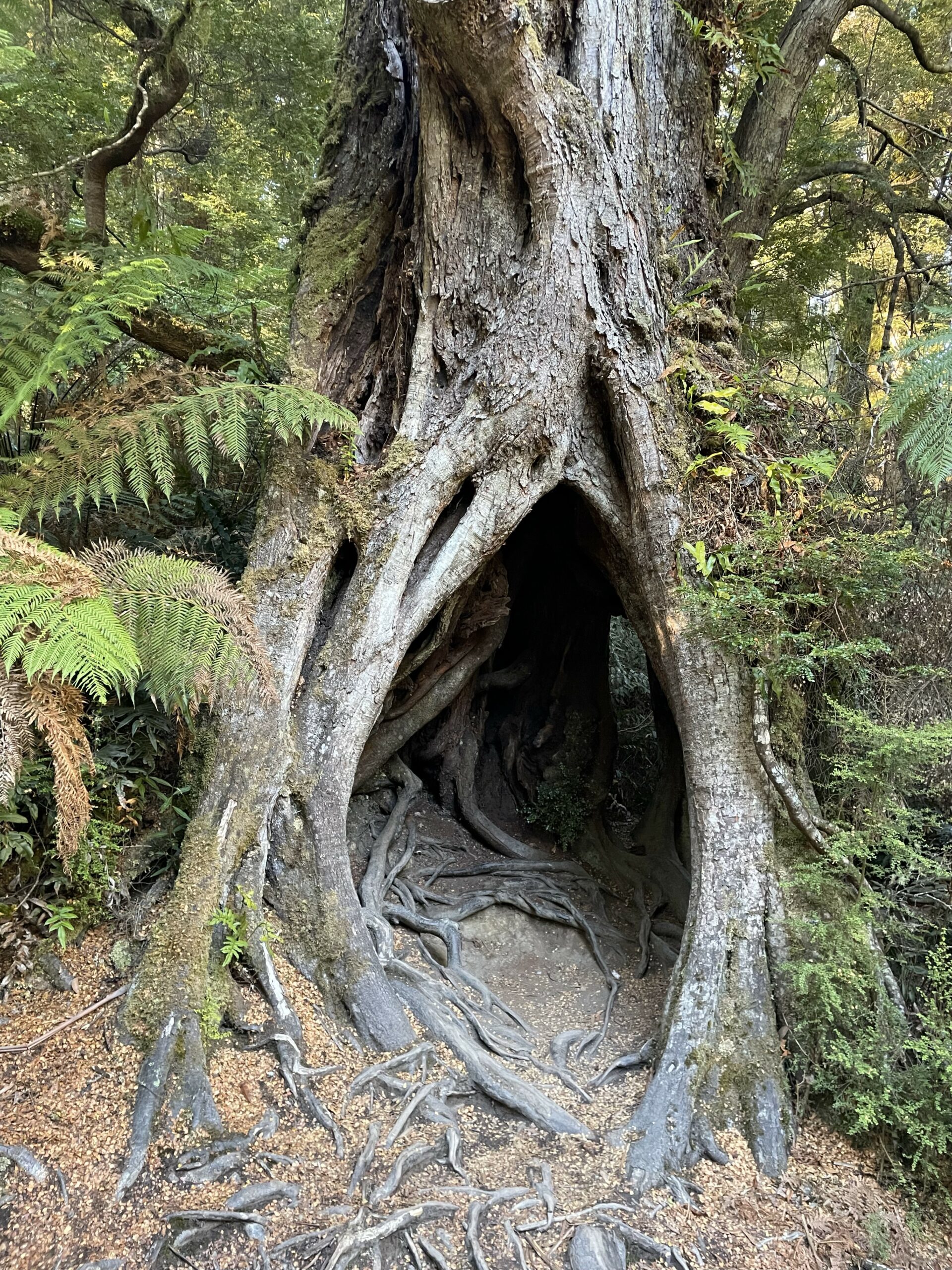
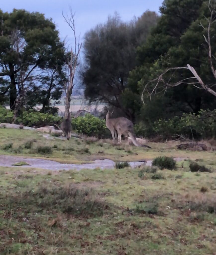
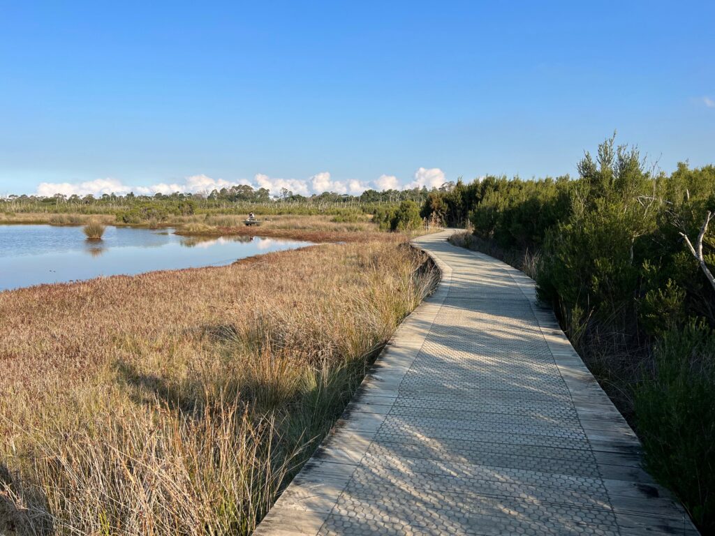
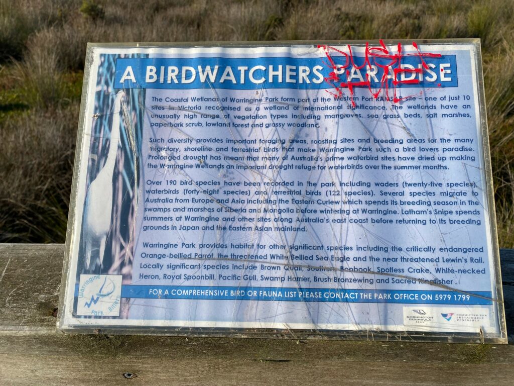
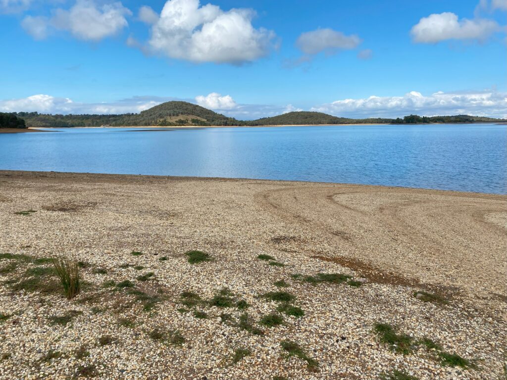
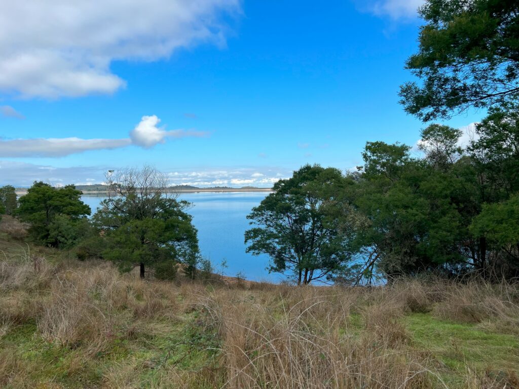
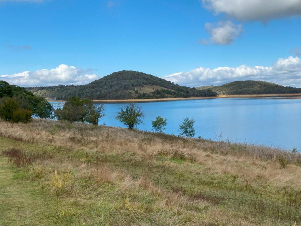
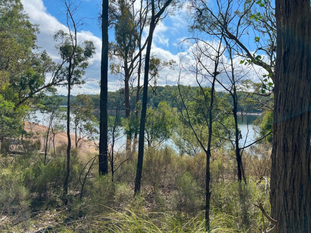
Its not just the amazing landscape that was in full spring bloom which I loved but all the birds chirping away and seeing lots of kangaroos grazing.
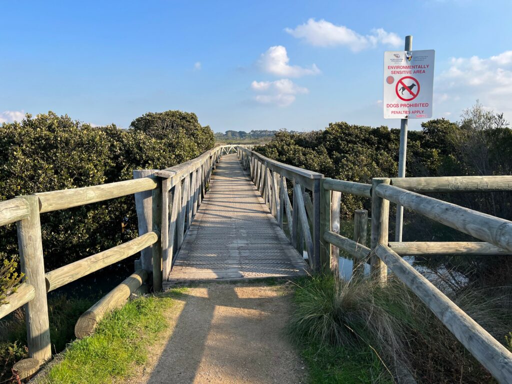
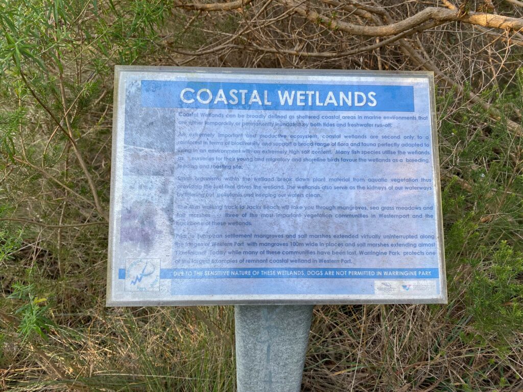
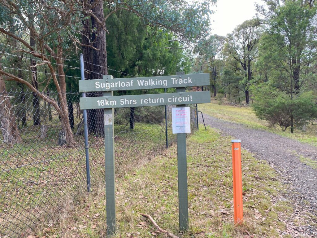
Along the track there were also boot wash stations positioned throughout to stop the spread of fungi and diseases in Greens Bush. Greens Bush alone is a fantastic walk that you could do in 2 hours if your not up for the 2 day hike
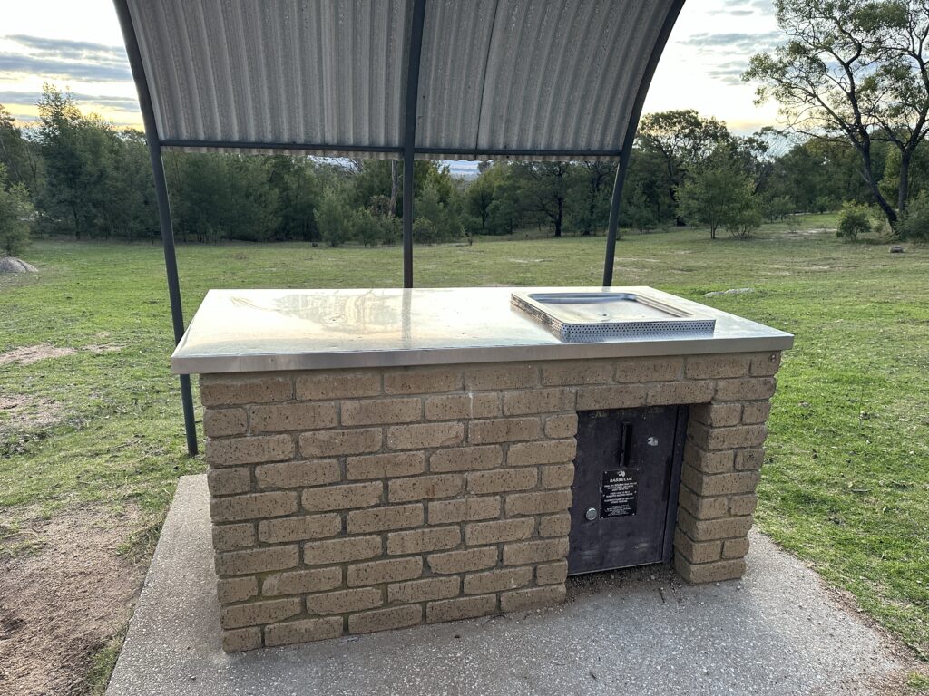
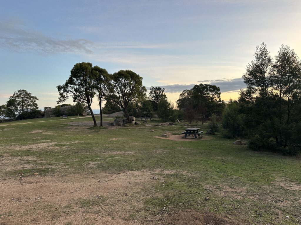
After the first day of walking, we arrived at Lightwood campsite. This campsite has 5 designated camping spots with benches to cook and sit on. There was a drop toilet with lots of toilet paper and was surprisingly clean. There is no drinking water however there is bore/tank water that can be used to wash up.
There was no reception at the camp site which was quite nice but recommend downloading a movie or bringing some cards to play to keep you occupied. But if needed you can walk up the hill at the campsite and get a couple bars of reception. There are no bookings needed. On the night I was there the campsite was almost filled with 3 other groups camping there.
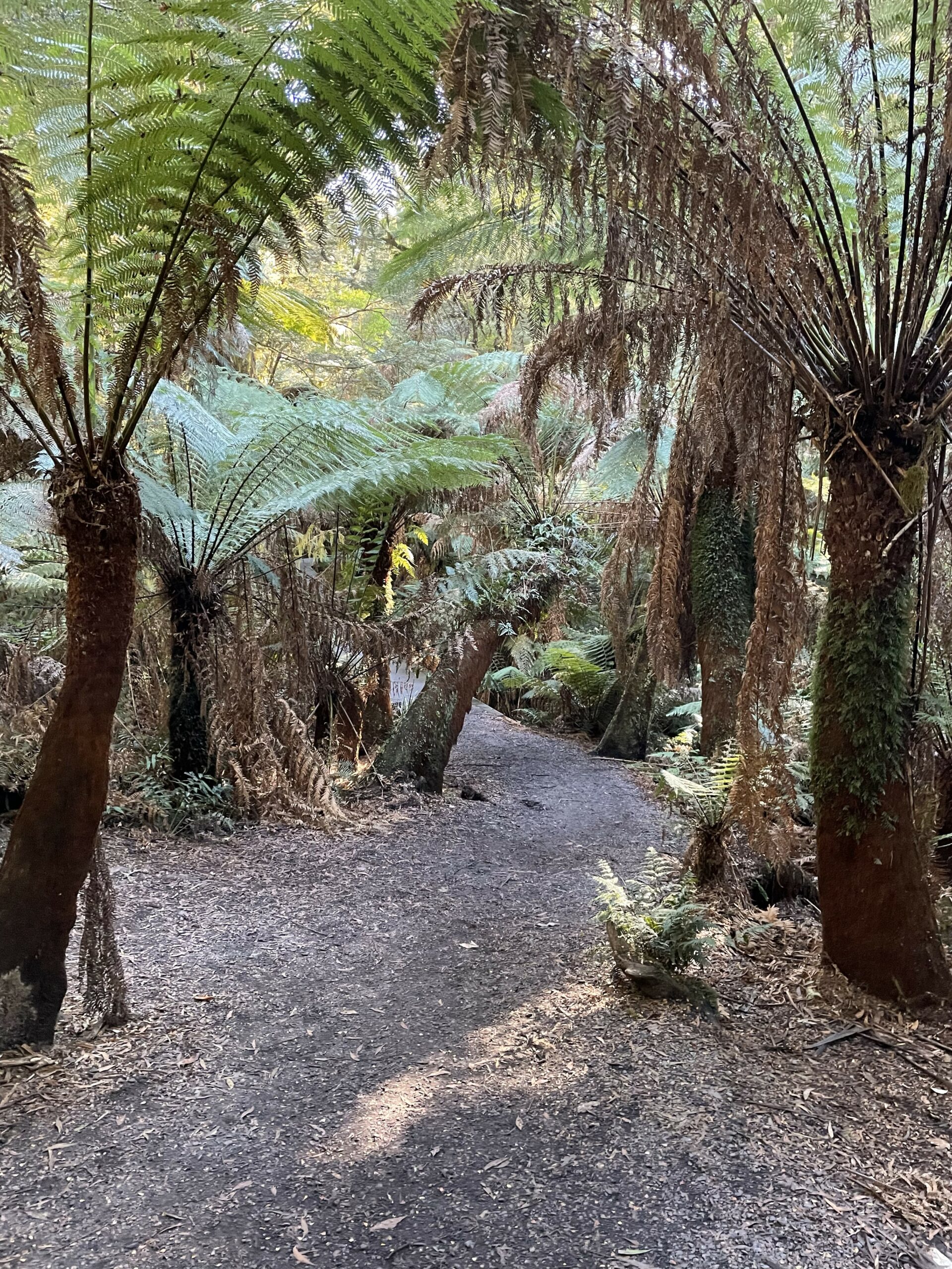
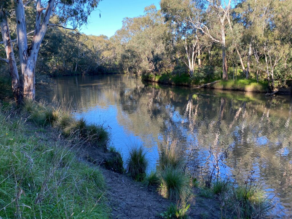
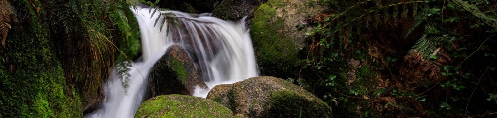
Day 2 of the walk was quite easy; it was nice and flat with well-kept dirt trails. The second leg was mainly walking through bushland in comparison to leg 1 where there was a little walking on roads needed. You will have amazing views of paddocks and land with beautiful trees, rivers and wildlife. There were multiple places to stop and eat lunch.
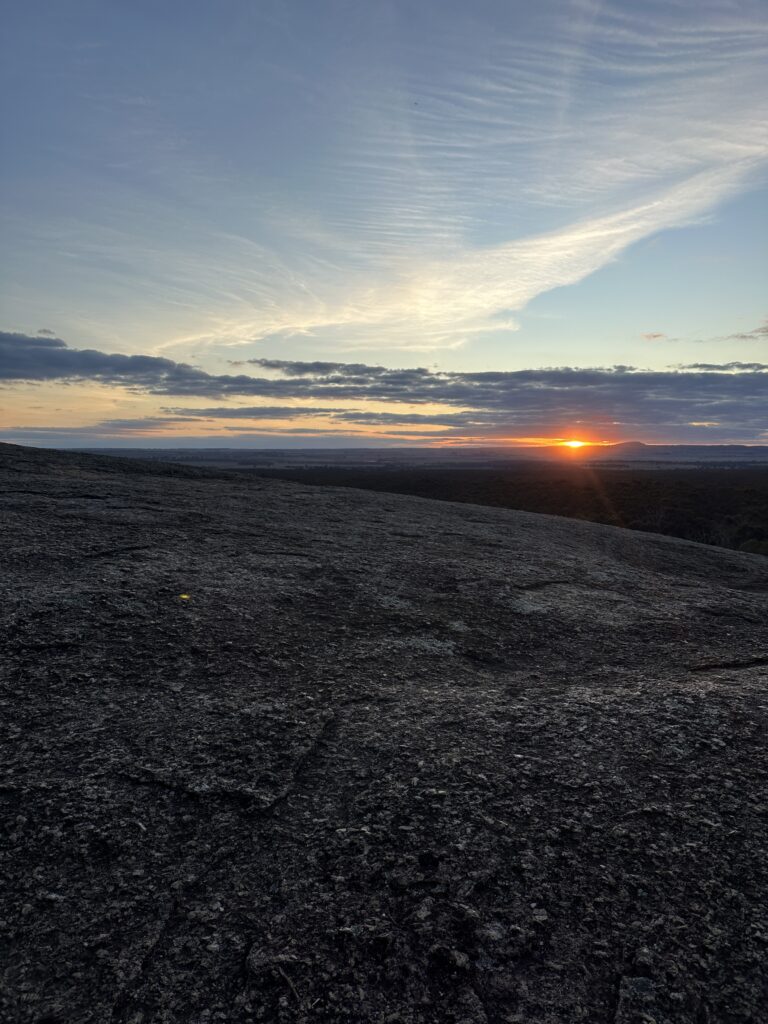
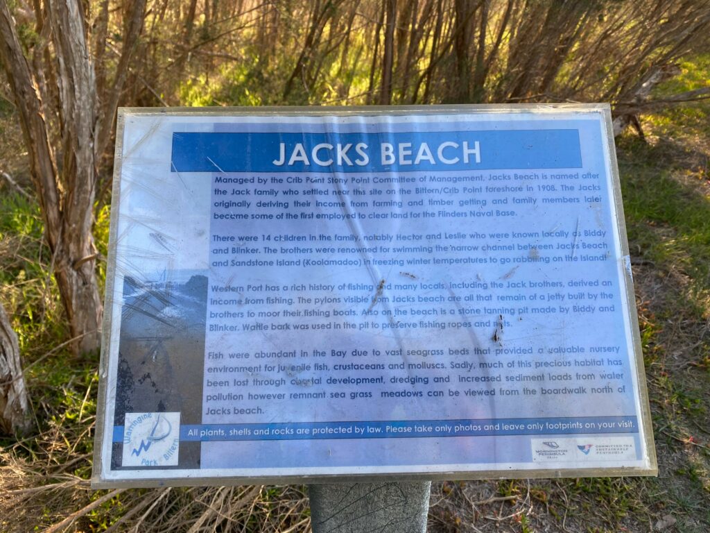
When arriving at Bushrangers Bay there are stunning rock pools that you can swim in on low tide. ONLY ON LOW TIDE! But unfortunately, it was not for us. When finishing the walk and arriving onto Cape Shank light house there was stunning views of the ocean.
As someone who is not an experienced walker I 100% recommend doing this walk even if you only do snippets of it the whole track is gorgeous filled with so many beautiful views and open spaces.