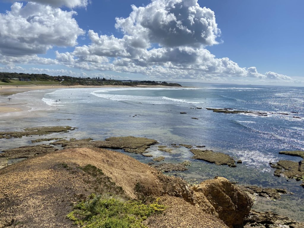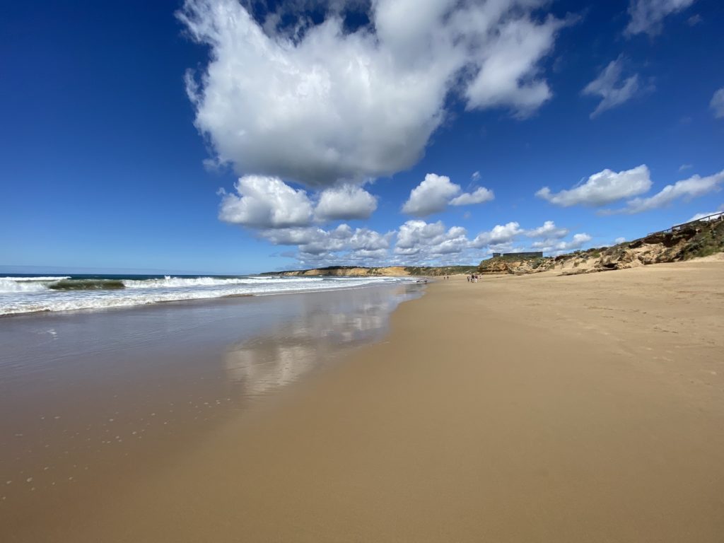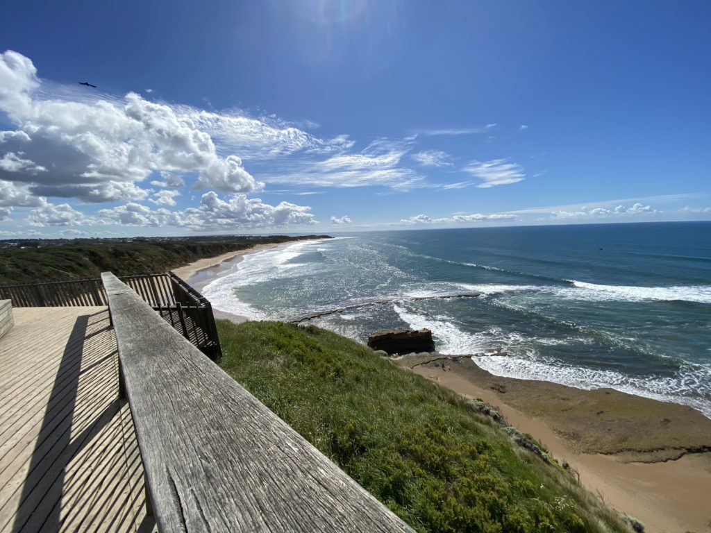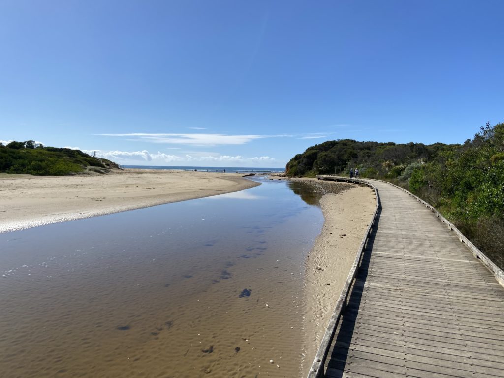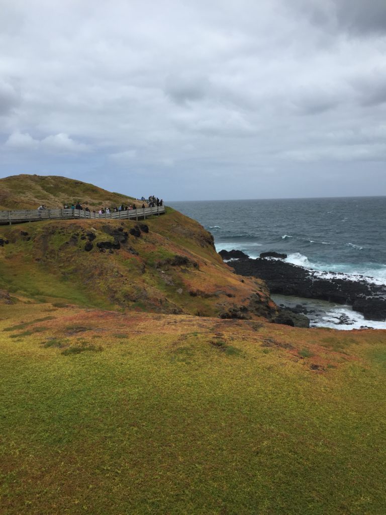
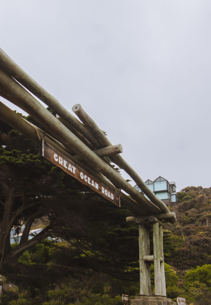
After spending a few days exploring the majestic coastline that gives the Great Ocean Road its name, we were ready for a slight change of scenery.
We left Apollo Bay and slowly made our way along winding back roads, cutting past the usual “must-stop” locations. There, nestled amongst the lush greenery of the Otways, we stumbled across the beautiful Hopetoun Falls.
How to Get to Hopetoun Falls
Hopetoun Falls is only a 45-minute drive from Apollo Bay, which made it a perfect stop-off during our exploration of the Great Ocean Road. If you’re coming from Melbourne, expect the drive to take you about 2.5 hours outside of peak times.
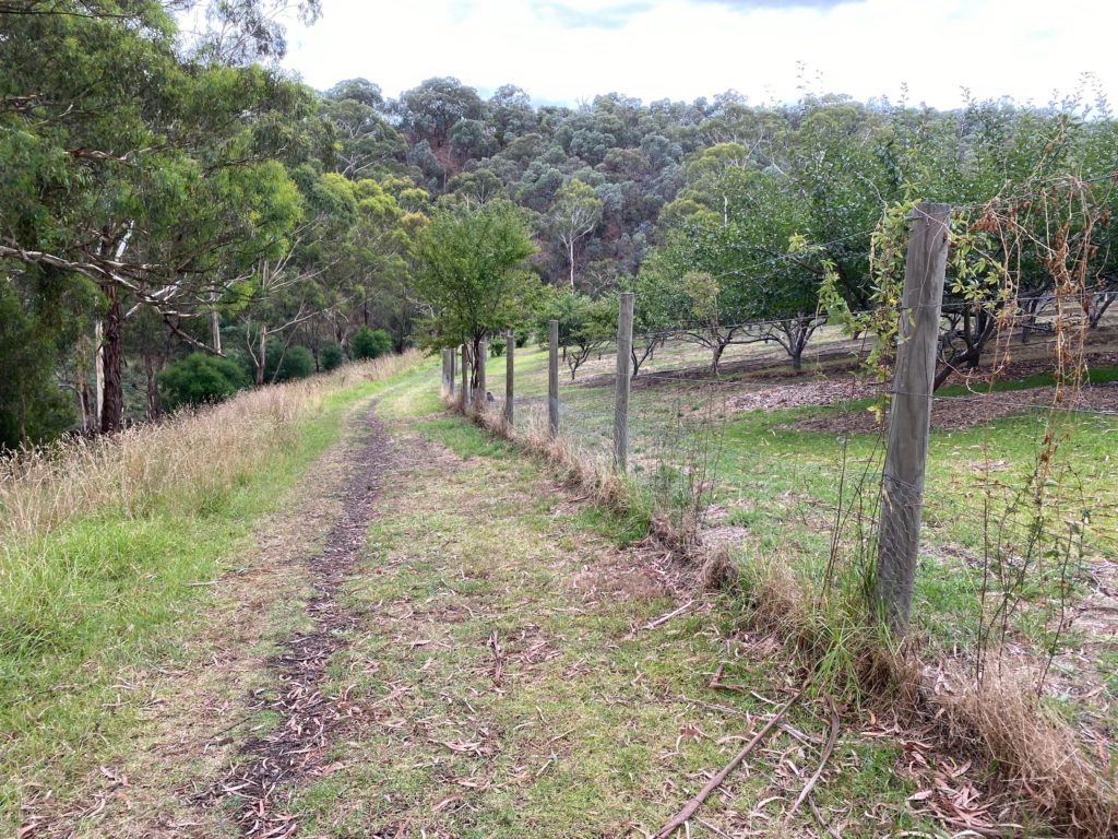
We took the most direct route, which took us through the stunning Aire Valley and the Olangaloh Plantation – home to some other amazing gems that we’ll get to soon enough!
Parking at the Falls
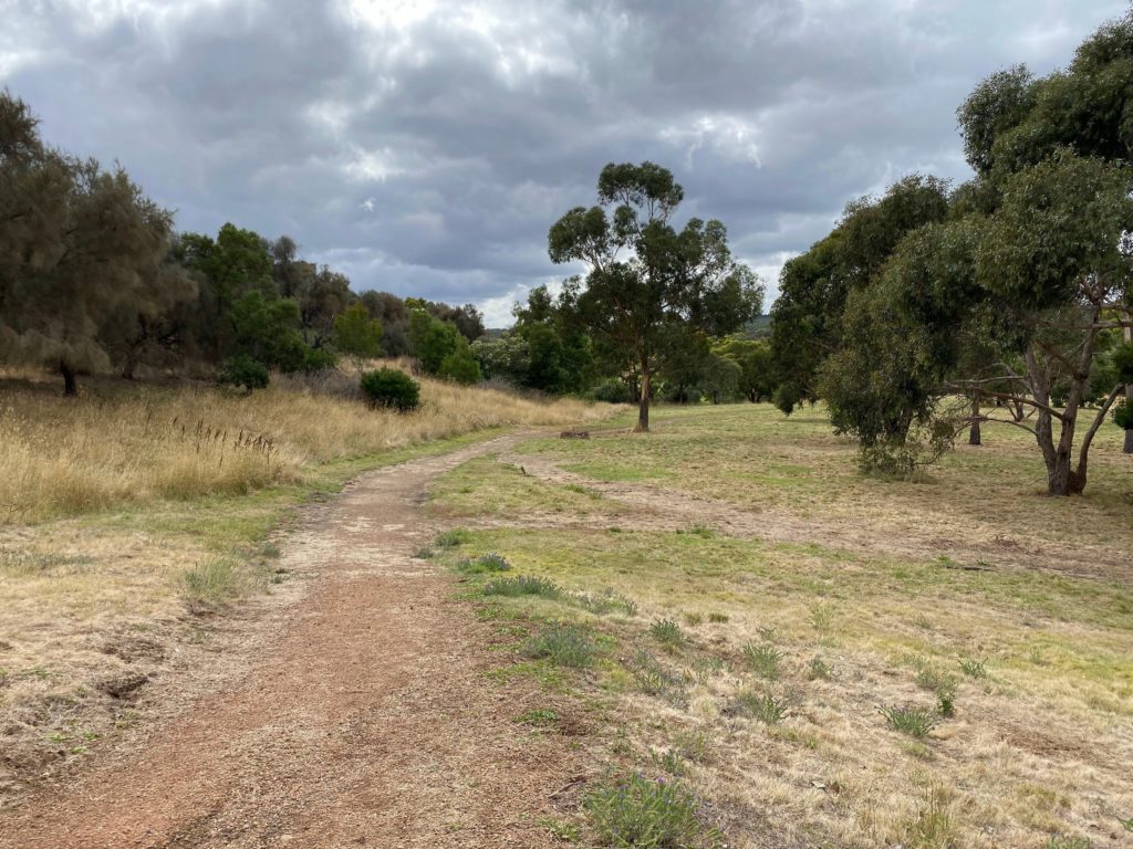
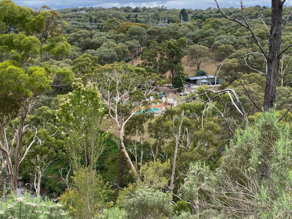
Since we visited on a weekday, we were easily able to secure a park close to the trailhead. There is room for about five vehicles in the immediate parking area, with more spaces a slight walk back down the entry road.
If you’re visiting on a weekend, you may have a little more difficulty, but it still shouldn’t be too painful. It was a pretty quiet spot!
The car park is unsealed without allocated spacing. Both it and the entry road were completely 2WD accessible in dry weather, but are known to become more unstable in the rain. Take care of vehicles coming the other way as the road is narrow.
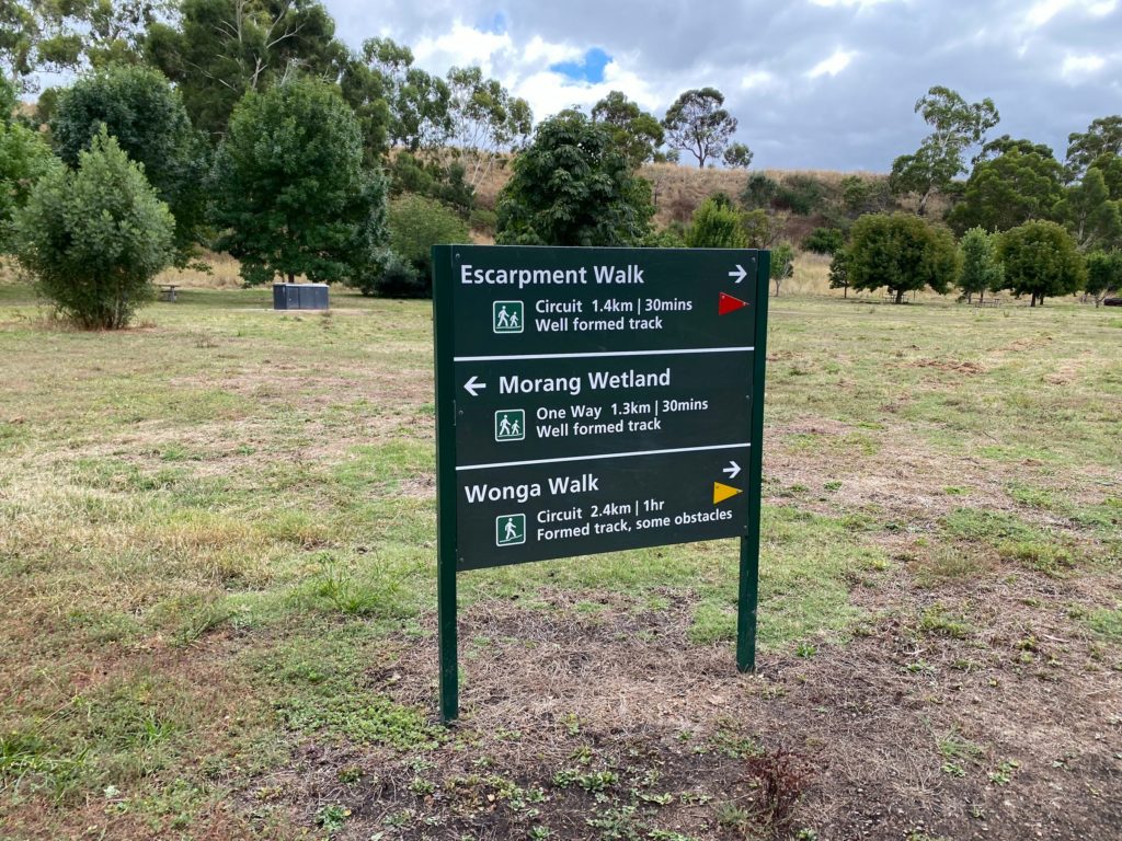
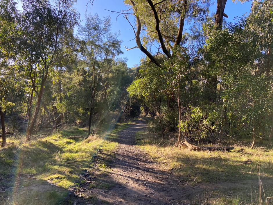
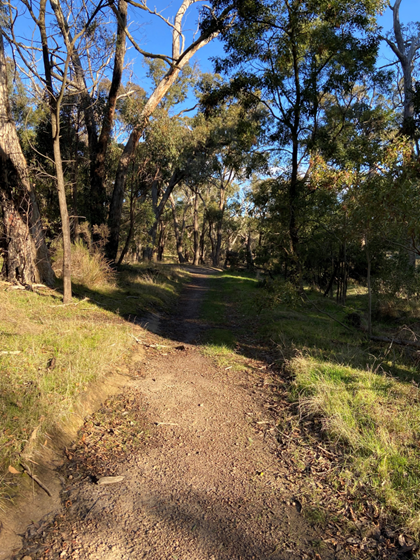
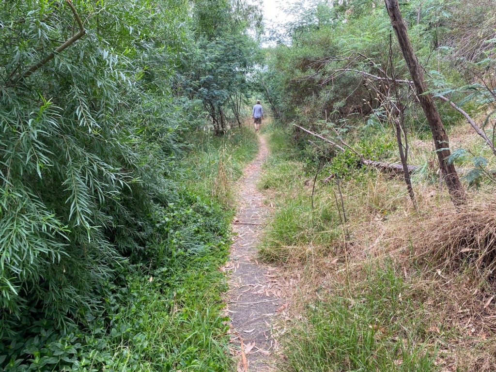
Hopetoun Falls Walking Trail
You’ll find the start of the trail off to the left of the car park. From here, you can decide whether you want to stop at the first viewing platform or continue on down to the base of the falls.
The first viewing platform is more accessible than the full trail, being only 20 meters from the car park and down a relatively gentle slope.
Unfortunately, the view from here was quite concealed during our visit. You won’t get the same awe-inspiring experience as looking up at the falls, since you’re approaching it from the side, but this is still a nice stop if you’re short on time.
Since we had a little more time up our sleeves, we chose to continue on with the full hike.
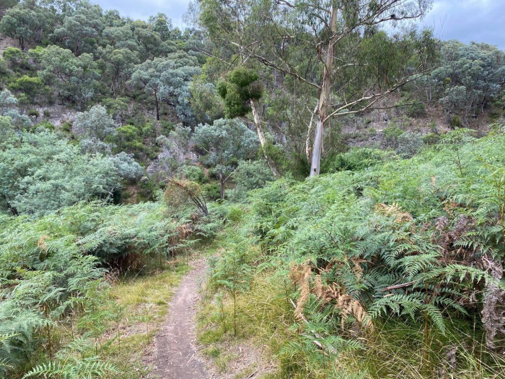
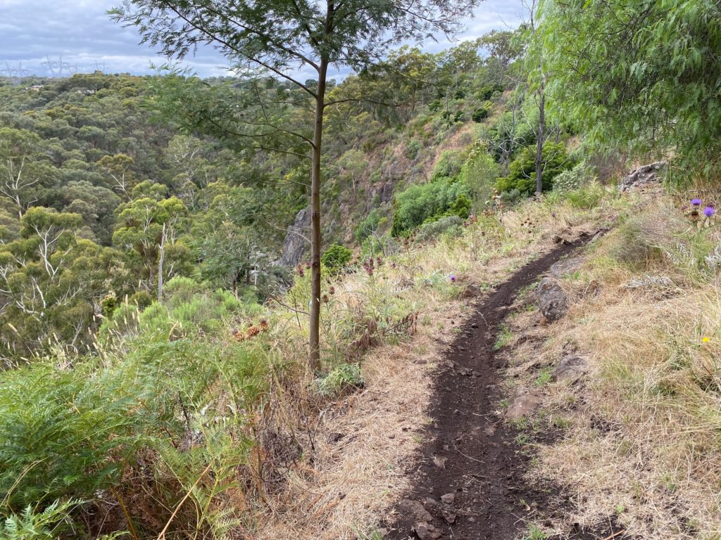
The descent to the base of the falls is steep but simple. Only a one-kilometre round trip, the track is predominantly made up of stairs. Over 200, in fact!
A passing rain shower had left parts of the trail muddy and a little bit slippery. We managed it without too much fuss, but proceed with caution if you’re not a confident hiker or have mobility issues. There’s plenty of room on the stairs for other hikers to pass you if needed, so don’t rush yourself.
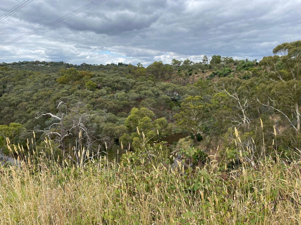
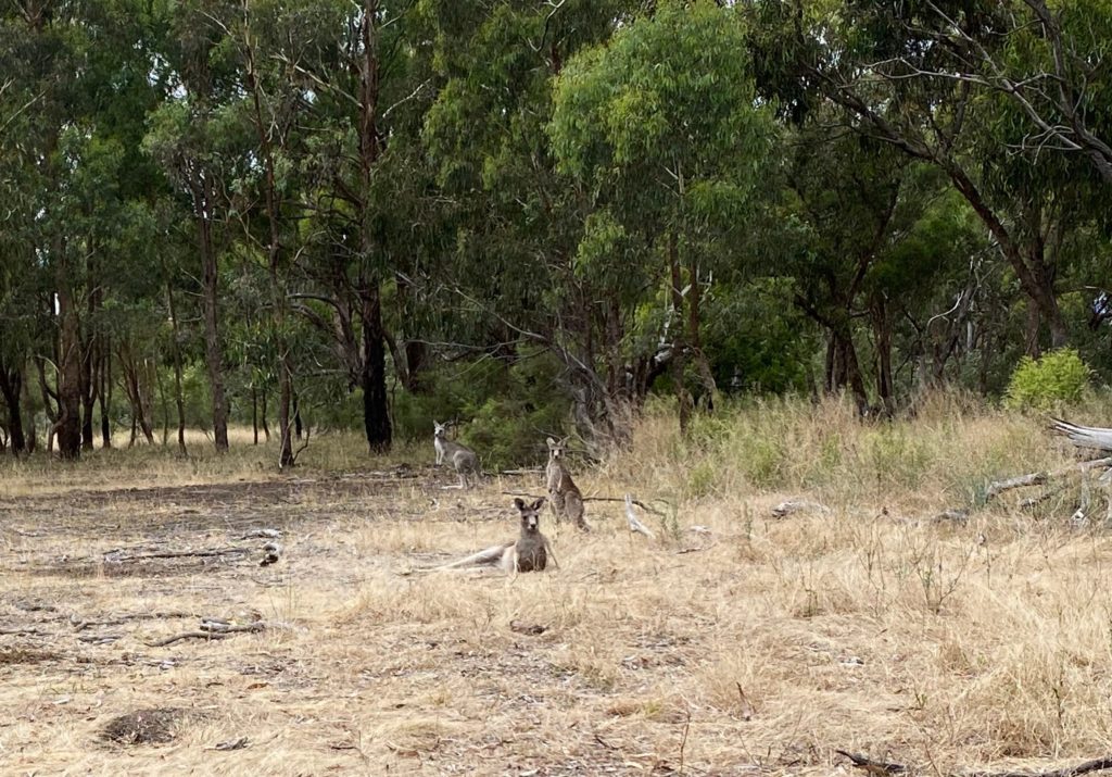
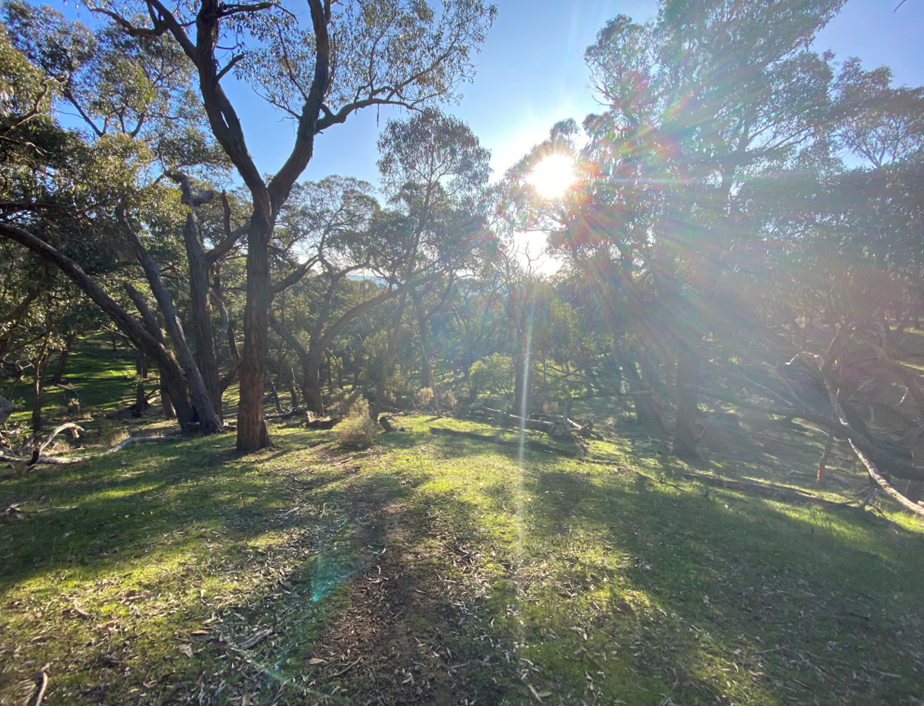
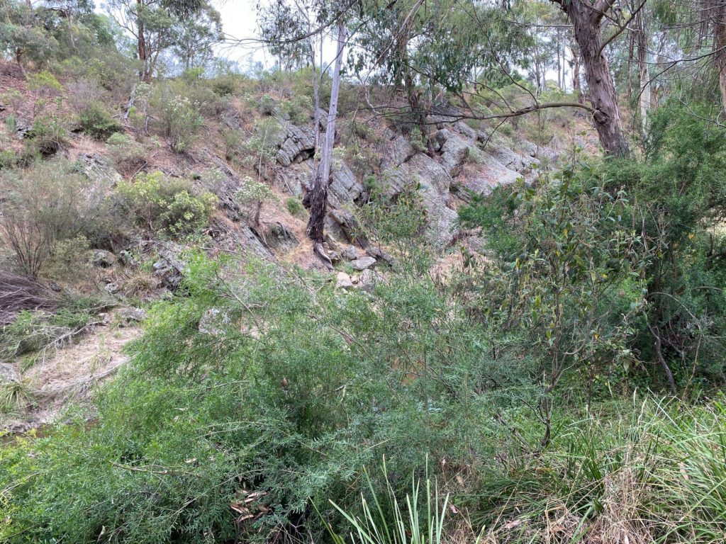
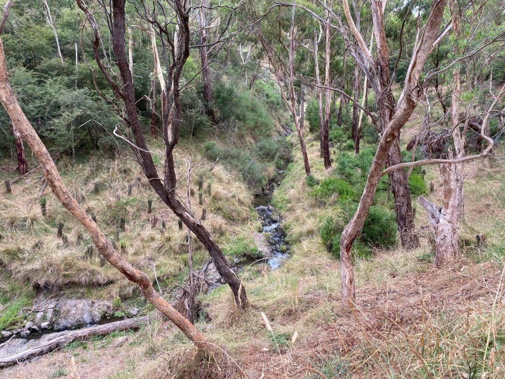
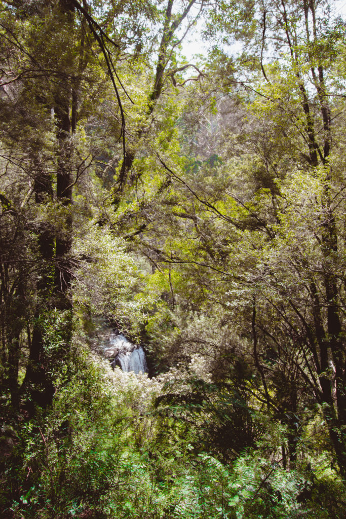
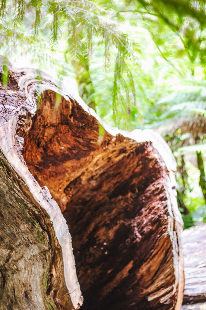
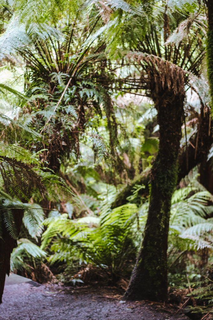
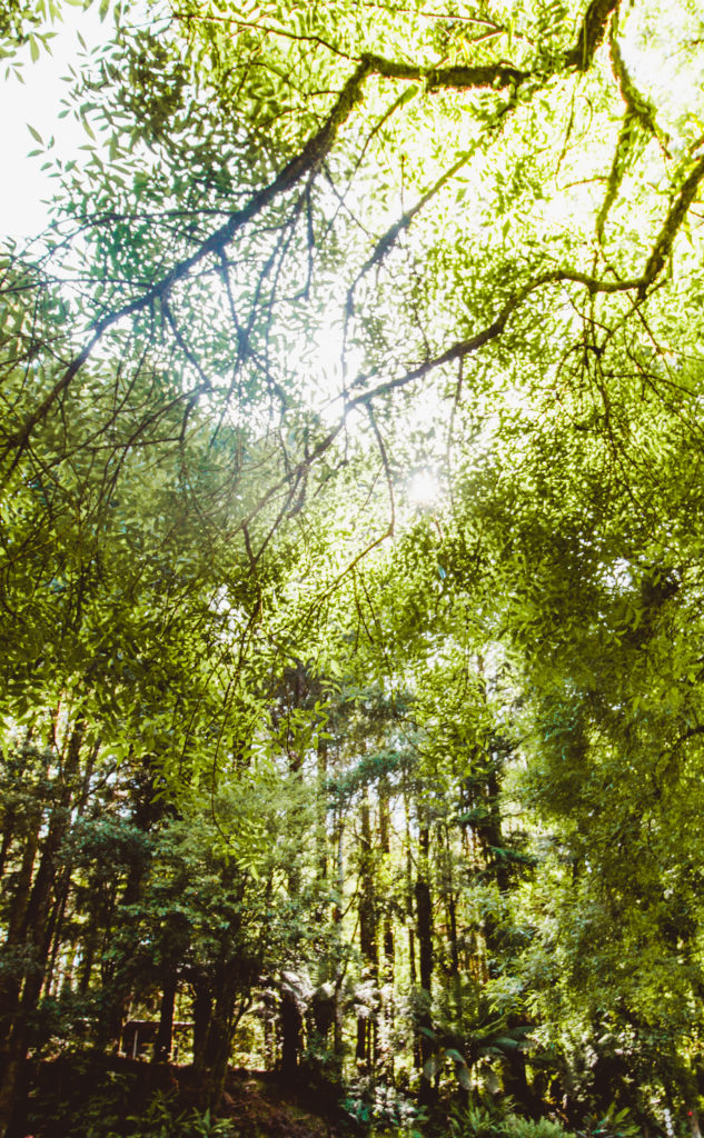
During our descent, we were amazed by the silence and flourishing flora and fauna. We spotted plenty of mature ferns, ancient trees, and even an echidna just off of the path.
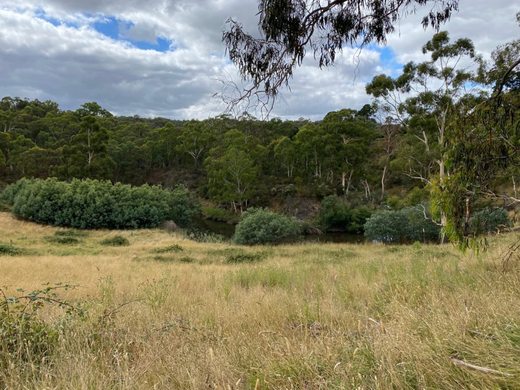
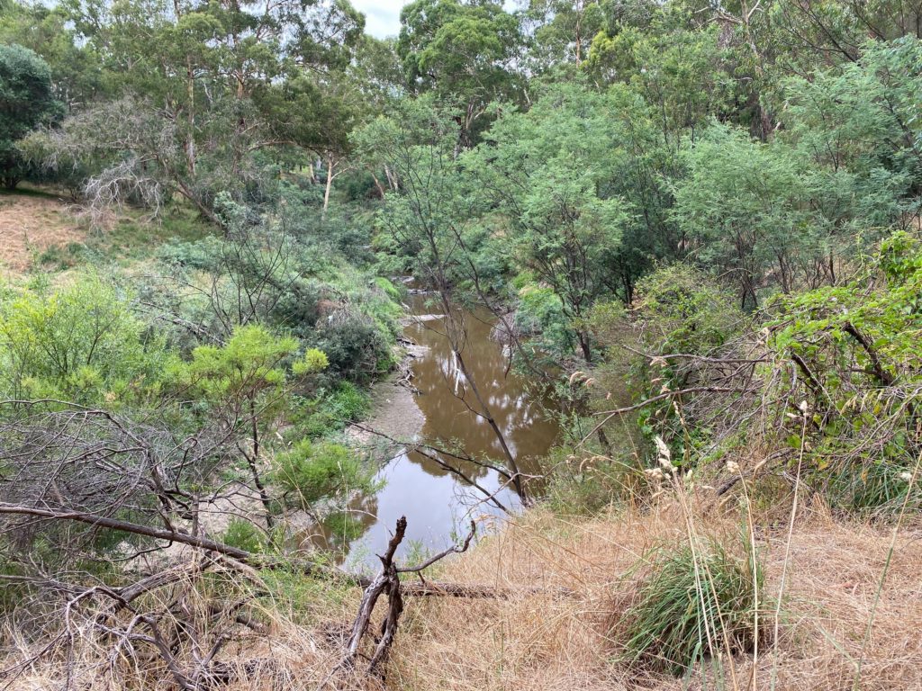
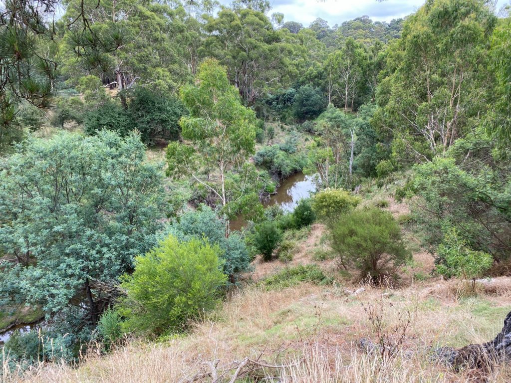
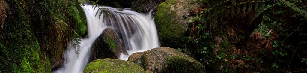
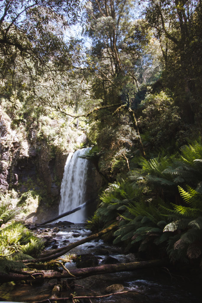
It was the sudden sound of cascading water that let us know we were approaching the end of the trail. We turned the corner and found ourselves just meters from the base of Hopetoun Falls. The cool mist from the falls was very welcome after our mid-November trek.
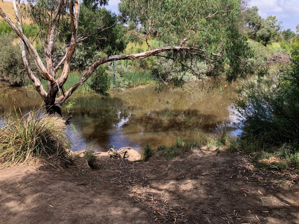
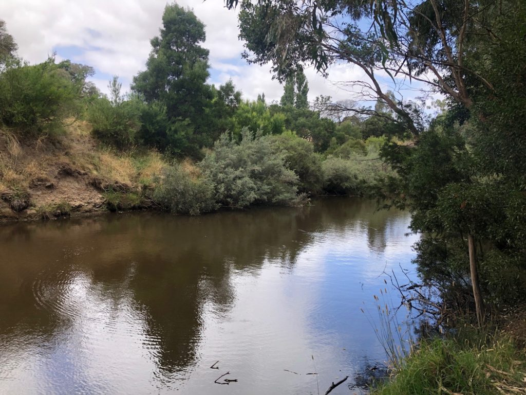
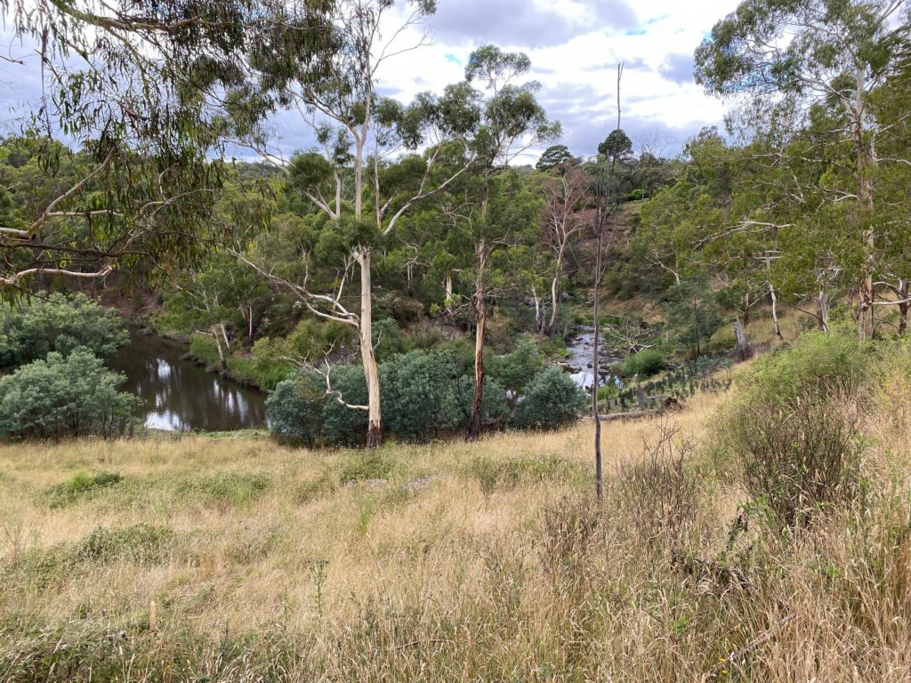
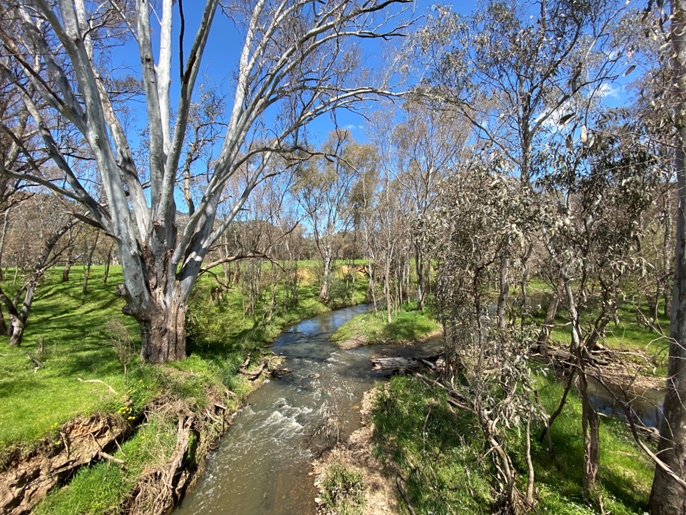
The viewing platform here juts out over the Aire River, and we spent some time peering into the creek looking for wildlife. The creek is a popular spot for platypus spotting, but we weren’t fortunate enough to see any this time around.
There is also a bench here to rest your legs: something I’d strongly recommend before making your way back up the stairs! We had a small picnic and were lucky enough to have the entire platform to ourselves.
Extending Your Walk: The Otway Redwoods
Remember that other ‘amazing gem’ mentioned earlier? On our way out, we found a second hidden oasis that made the drive out even more worthwhile.
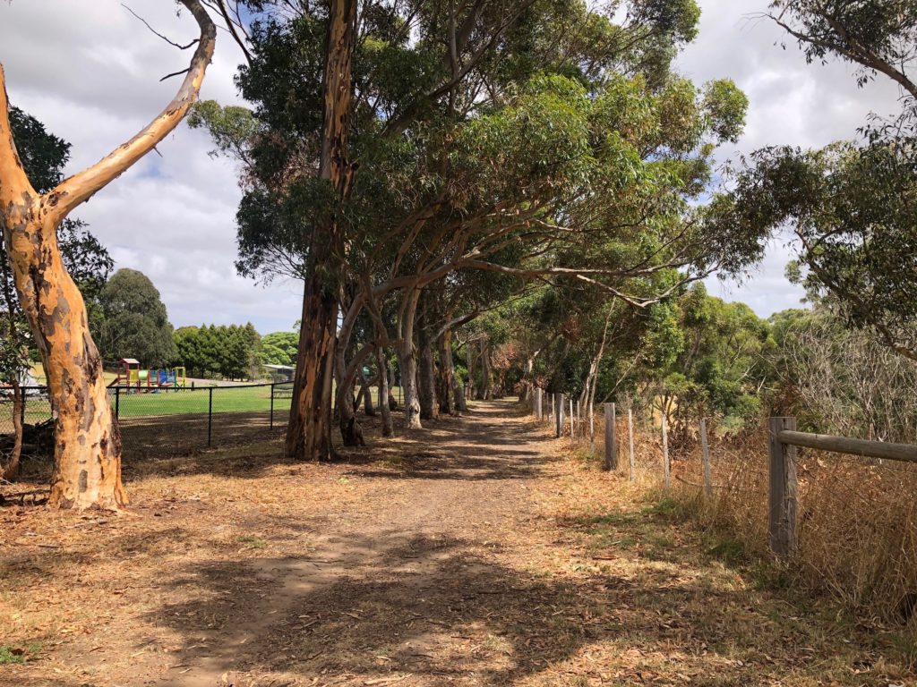
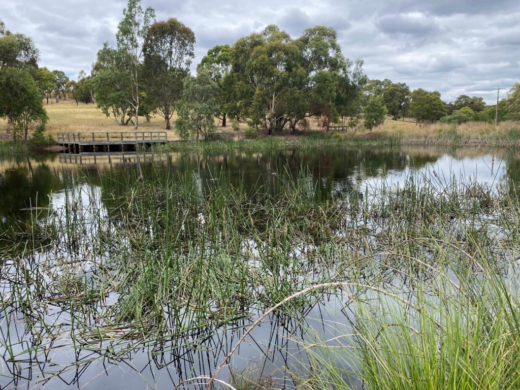
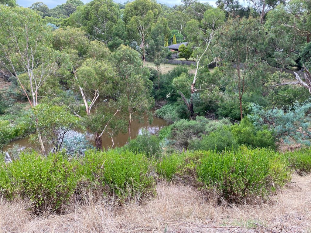
Just three minutes from the Hopetoun Falls, marked by nothing but a small car park and a wooden bridge crossing, is the towering Otway Redwood plantation.
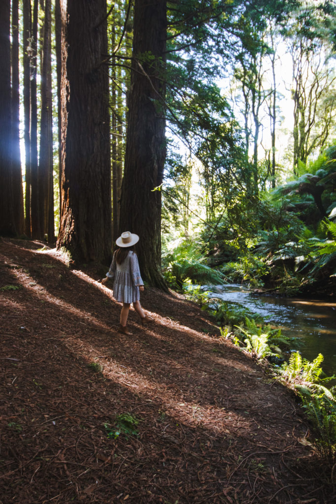
We slowly ventured along the 500m return trail, looking up at the out-of-reach treetops in absolute awe. Nearby signage let us know that one day, these might be the tallest Redwood trees in the world! Conditions in the Otways are very favourable for the tree.
Take some time here to explore the creek bed, too. Flowing down from Hopetoun Falls, the water is crisp and clear. We enjoyed clambering across the fallen redwoods that had become makeshift bridges over the top of the water.
The bathrooms here are the closest available to Hopetoun Falls. This is just another reason that these two gems are a must to see together!
Final Thoughts: Is this Victoria’s Most Beautiful Waterfall?
In our opinion, yes!
Hopetoun Falls is easily one of Victoria’s most beautiful waterfalls. The tucked-away location makes for a beautifully secluded, unspoiled walk through nature. Plus, the connection to the Aire River also makes it a spectacular sight no matter the season.
When paired with the nearby Redwood Plantation, these falls are unbeatable. The Hopetoun Falls circuit is a well-paced trail that is an absolute must for any Melbourne local or outdoor lover exploring the Great Ocean Road.